Old Maps of Copper King, Montana for Hiking & Exploration
Hike through history with 11 historic maps of Copper King. Explore old trails, ghost towns, and forgotten backroads — perfect for outdoor adventurers and local explorers.
- Rediscover forgotten places: Map out old mining camps, roads, and footpaths that no longer exist on modern maps.
- Layer with modern tools: Combine with LiDAR or satellite views to plan hikes through historical terrain.
- Made for exploration: Popular among hikers, overlanders, and local history lovers.
Use these maps to find adventure and explore the hidden past of Copper King.
Copper King, MT maps
(11)- 1937 Map of Thompson Falls
 1937 Thompson Falls1937 Print · USGSThe Clark Fork river valley and the high Cabinet Mountains are documented here in the mid-1930s. Genealogists and researchers can trace the early railroad communities of Thompson Falls and Belknap or locate the Silver Butte Fisher Sch and Bend Ranger Sta.2 unique versions available
 - 1956 Map of Wallace, 1966 Print
 1956 Wallace1966 Print · USGSWestern Montana and the Idaho panhandle meet in this mid-century survey of the Bitterroot and Cabinet Mountains. Genealogists and historians can trace the rail-and-river economy through the Northern Pacific line and settlements like Thompson Falls or St. Ignatius.3 unique versions available
 - 1960 Map of Wallace
 1960 Wallace1960 Print · USGSNorthwestern Montana and the Idaho panhandle are captured in the late fifties, showing the vast Flathead Indian Reservation and the mining districts of the Bitterroot Range. Researchers can trace the rail lines of the Northern Pacific or locate early sites like the Morning Mine and the National Bison Range.
 - 1964 Map of Eddy Mountain, 1967 Print
 1964 Eddy Mountain1967 Print · USGSThe Clark Fork valley in Sanders County during the mid-1960s was a corridor of rail travel and mountain mining. Trace the Northern Pacific line through the settlement of Eddy or explore the mining sites near Buckeye Canyon.2 unique versions available
 - 1992 Map of Thompson Falls, 1993 Print
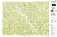 1992 Thompson Falls1993 Print · USGSNorthwest Montana in the early nineties is defined here by the winding Clark Fork and its major impoundments. Researchers can trace the river-valley settlements of Noxon, Trout Creek, and Thompson Falls or locate mining sites like the Copper King Mine.
 - 1999 Map of Eddy Mountain, 2003 Print
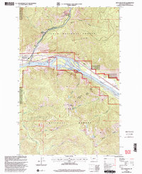 1999 Eddy Mountain2003 Print · USGSSanders County mountains and the confluence of the Clark Fork and Thompson River are captured here in the late twentieth century. Researchers can trace mineral claims like the Raven Mine, identify the settlement of Snider, and locate landmarks such as Eddy Mountain.
 - 2011 Map of Eddy Mountain, 2011 Print
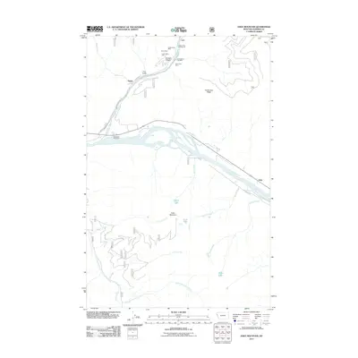 2011 Eddy Mountain2011 Print · USGSSanders County in the early 2000s shows a landscape shaped by the confluence of the Thompson River and the Clark Fork. Researchers can trace the legacy of local mining at the Copper King Mine or follow the path of the Thompson River Spur rail line near Snider.
 - 2014 Map of Eddy Mountain, 2014 Print
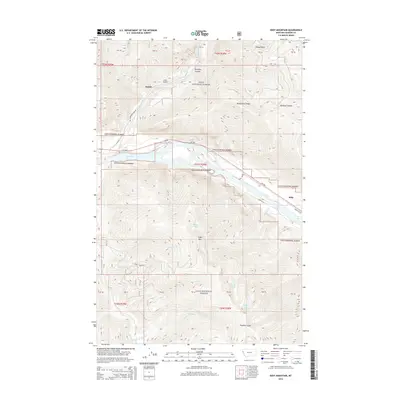 2014 Eddy Mountain2014 Print · USGSThe Clark Fork river valley in western Montana is documented here in the early twenty-first century. Researchers can trace the river's path through the Lolo National Forest to find Snider, Eddy, and landmarks like Outlaw Lake or Eddy Mtn.
 - 2017 Map of Eddy Mountain, 2017 Print
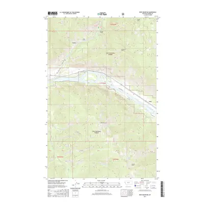 2017 Eddy Mountain2017 Print · USGSSanders County in the twenty-first century remains defined by the junction of the Clark Fork and Thompson River. Researchers can trace forest access via Thompson River Rd to high-elevation landmarks like Eddy Mountain and Outlaw Lake.
 - 2020 Map of Eddy Mountain, 2020 Print
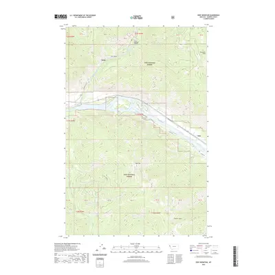 2020 Eddy Mountain2020 Print · USGSSanders County mountains and river valleys are captured here in the contemporary era. Researchers can trace the pathways near Snider and Eddy or locate remote high-country landmarks like Outlaw Lake, Quail Lake, and the summit of Eddy Mtn.
 - 2024 Map of Eddy Mountain, 2024 Print
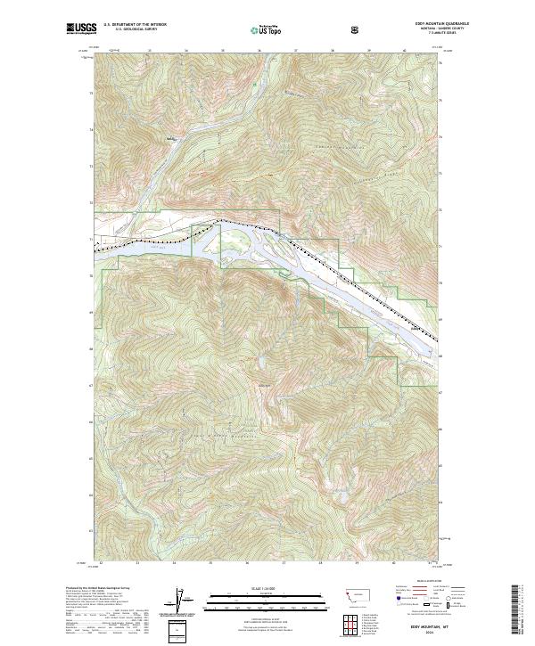 2024 Eddy Mountain2024 Print · USGSThe Clark Fork valley and the surrounding high ridges of the Cabinet Mountains are mapped in detail during the twenty-twenties. Researchers can trace the riverfront at Eddy, the route of State Hwy 556, and paths leading to Outlaw Lake or Eddy Mtn.
End of results
Showing maps 1-11 of 11
Top cities near Copper King
Frequently asked questions
- What are the different types of historical maps available for Copper King?
- What is the oldest map of Copper King?
- Where can I purchase historical maps of Copper King for my home or office?
- Where can I download high-res historical maps of Copper King?
- Are there historical topographic maps available for Copper King?
- Is there historical aerial imagery available for Copper King?
- Where are historical maps of Copper King sourced from?