Old Maps of McDonald, Montana for Metal Detecting
Plan your next treasure hunt with 9 historic maps of McDonald. Find old homesites, ghost towns, trails, and gathering spots that may be lost to time — perfect for identifying promising metal detecting locations.
- Locate forgotten sites: Uncover places like long-lost settlements, abandoned rail lines, or gathering spots.
- Plan better hunts: Use map overlays combined with LiDAR or satellite views to narrow in on historically rich areas.
- Made for detectorists: Thousands of hobbyists use these maps to discover relics, coins, and hidden history.
Use these historic maps to boost your research and find new opportunities beneath the surface of McDonald.
McDonald, MT maps
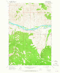
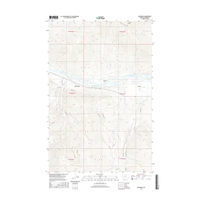
(9)- 1956 Map of Wallace, 1966 Print
 1956 Wallace1966 Print · USGSWestern Montana and the Idaho panhandle meet in this mid-century survey of the Bitterroot and Cabinet Mountains. Genealogists and historians can trace the rail-and-river economy through the Northern Pacific line and settlements like Thompson Falls or St. Ignatius.3 unique versions available
 - 1960 Map of Wallace
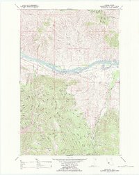
 1960 Wallace1960 Print · USGSNorthwestern Montana and the Idaho panhandle are captured in the late fifties, showing the vast Flathead Indian Reservation and the mining districts of the Bitterroot Range. Researchers can trace the rail lines of the Northern Pacific or locate early sites like the Morning Mine and the National Bison Range.
 - 1964 Map of Mc Donald, 1966 Print
 1964 Mc Donald1966 Print · USGSSanders County in the mid-1960s reveals a landscape shaped by river transport and mountain industry. Genealogists and historians can trace the Northern Pacific rail line and local industrial sites like the Green Mountain Mine and the Revais Canal.
 - 1988 Map of Mc Donald
 1988 Mc Donald1988 Print · USGSThe Flathead Indian Reservation in the late eighties shows a landscape shaped by river transport and mountain mining. Trace the historic Northern Pacific rail line and Flathead River past Mc Donald and the deep Green Mountain Mine.
 - 2011 Map of McDonald, 2011 Print
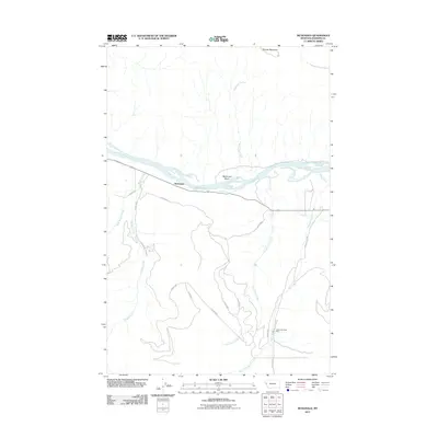 2011 McDonald2011 Print · USGSCovers McDonald, including Sanders County, United States, and other nearby areas
 - 2014 Map of McDonald, 2014 Print
 2014 McDonald2014 Print · USGSCovers McDonald, including Sanders County, United States, and other nearby areas
 - 2017 Map of McDonald, 2017 Print
 2017 McDonald2017 Print · USGSCovers McDonald, including Sanders County, United States, and other nearby areas
 - 2020 Map of McDonald, 2020 Print
 2020 McDonald2020 Print · USGSCovers McDonald, including Sanders County, United States, and other nearby areas
 - 2024 Map of McDonald, 2024 Print
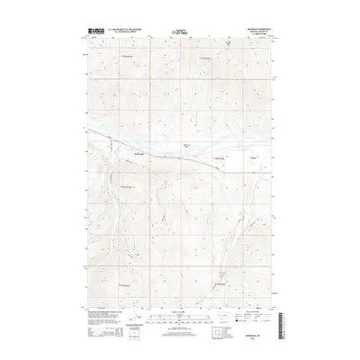
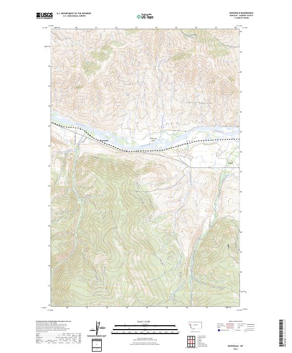 2024 McDonald2024 Print · USGSSanders County at the present day remains defined by the winding Flathead River and the towering Cabinet Mountains. Genealogists and local researchers can trace the roads and waterways connecting the settlements of Dixon and McDonald, or follow the path of the Revais Canal.
End of results
Showing maps 1-9 of 9
Frequently asked questions
- What are the different types of historical maps available for McDonald?
- What is the oldest map of McDonald?
- Where can I purchase historical maps of McDonald for my home or office?
- Where can I download high-res historical maps of McDonald?
- Are there historical topographic maps available for McDonald?
- Is there historical aerial imagery available for McDonald?
- Where are historical maps of McDonald sourced from?