Old Maps of Miles Crossing, Montana for Metal Detecting
Plan your next treasure hunt with 11 historic maps of Miles Crossing. Find old homesites, ghost towns, trails, and gathering spots that may be lost to time — perfect for identifying promising metal detecting locations.
- Locate forgotten sites: Uncover places like long-lost settlements, abandoned rail lines, or gathering spots.
- Plan better hunts: Use map overlays combined with LiDAR or satellite views to narrow in on historically rich areas.
- Made for detectorists: Thousands of hobbyists use these maps to discover relics, coins, and hidden history.
Use these historic maps to boost your research and find new opportunities beneath the surface of Miles Crossing.
Miles Crossing, MT maps
(11)- 1906 Map of Hinsdale Special Map
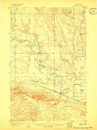 1906 Hinsdale Special Map1906 Print · USGSValley County ranching life is frozen in time here at the turn of the century as the railroad pushed through the Milk River valley. Genealogists and local historians can locate early homesteads like Nelson's Ranch and Drabbs Ranch or trace the Rock Creek Schoolhouse.2 unique versions available
 - 1954 Map of Glasgow, 1967 Print
 1954 Glasgow1967 Print · USGSNortheastern Montana is shown during the mid-fifties as the rail-and-river economy shaped the plains. Trace family roots and vanished landmarks from the Wendell Post Office to the Great Northern sidings at Ashfield and Hinsdale.2 unique versions available
 - 1957 Map of Glasgow
 1957 Glasgow1957 Print · USGSNortheastern Montana during the late 1950s shows a landscape shaped by the Milk River and the expanding influence of the Fort Peck Lake reservoir. Genealogists and historians can trace the Great Northern rail stops from Malta to Glasgow, including old sidings like Kintyre Siding and rural centers like Opheim.
 - 1958 Map of Glasgow
 1958 Glasgow1958 Print · USGSNortheastern Montana comes to life in this mid-century survey of the Milk River valley and the Great Northern rail corridor. Researchers can trace the rise and fall of work camps like New Deal and Wheeler alongside remote landmarks like the Wendell Post Office.2 unique versions available
 - 1984 Map of Hinsdale NW
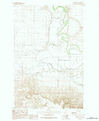 1984 Hinsdale NW1984 Print · USGSValley County, Montana, is depicted in the early 1980s as a landscape defined by its intricate waterways and irrigation projects. Researchers can trace the winding path of the Milk River and the engineered systems of the South Nelson Canal and Nelson Levee.
 - 1984 Map of Malta
 1984 Malta1984 Print · USGSNorthern Montana's river and rail corridor is meticulously detailed in the mid-1980s, centered on the Milk River and Malta. Researchers can trace the Burlington Northern line through historic stops like Hinsdale, Ashfield, and Beaverton.
 - 2011 Map of Hinsdale NW, 2011 Print
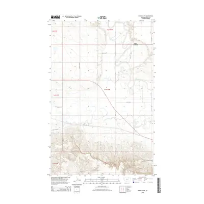
 2011 Hinsdale NW2011 Print · USGSCovers Miles Crossing, including Valley County, United States, and other nearby areas
 - 2014 Map of Hinsdale NW, 2014 Print
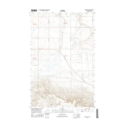
 2014 Hinsdale NW2014 Print · USGSCovers Miles Crossing, including Valley County, United States, and other nearby areas
 - 2017 Map of Hinsdale NW, 2017 Print
 2017 Hinsdale NW2017 Print · USGSCovers Miles Crossing, including Valley County, United States, and other nearby areas
 - 2020 Map of Hinsdale NW, 2020 Print
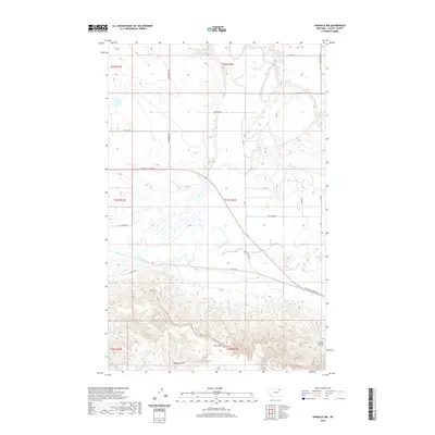 2020 Hinsdale NW2020 Print · USGSCovers Miles Crossing, including Valley County, United States, and other nearby areas
 - 2024 Map of Hinsdale NW, 2024 Print
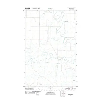
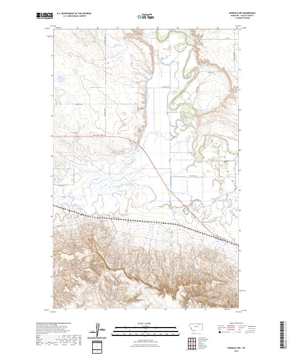 2024 Hinsdale NW2024 Print · USGSValley County's river valley and southern uplands are shown in this modern study of Montana's landscape. Researchers can trace the Milk River oxbows and find named landmarks like Larb Hills, the Lewis and Clark Trl, and Beaverton E.
End of results
Showing maps 1-11 of 11
Top cities near Miles Crossing
Frequently asked questions
- What are the different types of historical maps available for Miles Crossing?
- What is the oldest map of Miles Crossing?
- Where can I purchase historical maps of Miles Crossing for my home or office?
- Where can I download high-res historical maps of Miles Crossing?
- Are there historical topographic maps available for Miles Crossing?
- Is there historical aerial imagery available for Miles Crossing?
- Where are historical maps of Miles Crossing sourced from?