2010s Maps of Buffalo County, Nebraska
Explore 84 historic maps of Buffalo County from the 2010s. These maps offer a rare glimpse into what life looked like during the 2010s — showing old roads, neighborhoods, homes, and landmarks that have changed or disappeared over time.
Whether you're researching your family's past, planning a metal detecting trip, or studying how Buffalo County's landscape evolved across the 2010s, these high-resolution maps are a powerful tool for exploring the history of this region.
- Focus on a specific era: All maps on this page are from the 2010s, giving you a focused view of this time period.
- See what’s changed: Compare century-old streets, trails, and buildings to today's modern landscape using overlays and satellite layers.
- Research with precision: Use these maps for genealogy, historical research, land use analysis, or educational projects.
- View, download, or print: Maps are fully viewable online in high resolution, and can be downloaded or printed for your own records.
Start exploring Buffalo County's history through authentic maps from the 2010s. This is your window into the past.
Buffalo County, NE maps
(84)- 2011 Map of Mason City SE, 2011 Print
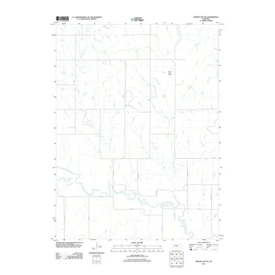 2011 Mason City SE2011 Print · USGSBuffalo County plains and the South Loup River valley are shown here in the early twenty-first century. Researchers can trace rural property access along Cessna Rd and the drainage of the Black Hill Basin into local creeks.
 - 2011 Map of Litchfield SW, 2011 Print
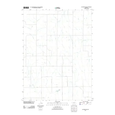 2011 Litchfield SW2011 Print · USGSBuffalo County's agricultural heartland is documented here in the early twenty-first century. Family and local history researchers can trace the intersection of section-line roads and prairie waterways like Unick Reservoir, Sartoria Rd, and Dry Creek.
 - 2011 Map of Hazard, 2011 Print
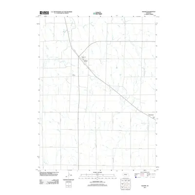 2011 Hazard2011 Print · USGSSherman County at the turn of the decade reveals a settled prairie landscape defined by creek-side communities and a structured grid of rural roads. Researchers can pinpoint the Hazard Post Office, trace the path of Bloody Run Creek, or locate family sites near Hazard Cemetery.
 - 2011 Map of Mason City SW, 2011 Print
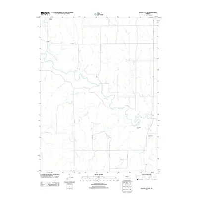 2011 Mason City SW2011 Print · USGSCuster County ranch lands and river valleys are captured here in the early twenty-first century. Genealogists and local historians can trace the area around Cumro and Box Elder Cemetery, or locate landmarks like Arrasmith Dam and Wild Horse Valley.
 - 2011 Map of Amherst, 2011 Print
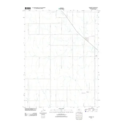 2011 Amherst2011 Print · USGSThe village of Amherst is shown at the start of the 2010s, nestled along a winding bend of the Wood River. Genealogists and local historians can locate the Amherst Post Office and Stanley Cemetery while tracing family farmstead boundaries along Amherst Rd.
 - 2011 Map of Pleasanton, 2011 Print
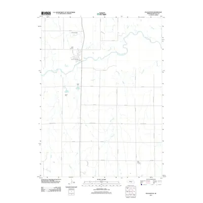 2011 Pleasanton2011 Print · USGSBuffalo County, Nebraska, is seen here at the start of the 2010s as a landscape shaped by the South Loup River. Researchers can trace local lineage at Saint Marys Cemetery or locate old waterworks like Gunst Reservoir and Brown Dam near Pleasanton.
 - 2011 Map of Elm Creek East, 2011 Print
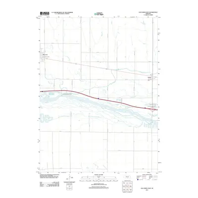 2011 Elm Creek East2011 Print · USGSThe Platte River valley in the early 2010s shows a landscape defined by braided river channels and vital irrigation works. Researchers can trace the path of the Kearney Canal from the Kearney Diversion Dam past the post offices at Elm Creek and Odessa.
 - 2011 Map of Pleasanton NW, 2011 Print
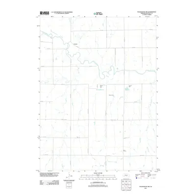 2011 Pleasanton NW2011 Print · USGSBuffalo County, Nebraska, is seen here in the early twenty-first century, centered on the rural crossing at Sartoria. Genealogists and local historians can trace the landscape around Peaks Cemetery and the waters of Zwiener Reservoir and the South Loup River.
 - 2011 Map of Miller, 2011 Print
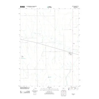 2011 Miller2011 Print · USGSThe village of Miller and its surrounding plains are documented here at the start of the 2010s, showing a landscape defined by ranching and agriculture. Researchers can locate family sites near Armada Cemetery or trace the drainage of Wood River and Judy Reservoir.
 - 2011 Map of Riverdale, 2011 Print
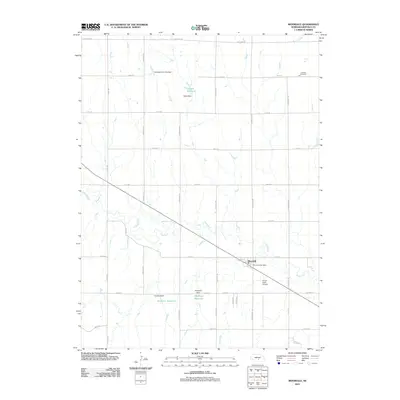 2011 Riverdale2011 Print · USGSBuffalo County is shown at a time of steady agricultural activity and water management along the winding Wood River. Researchers can trace the layout of Riverdale, locate the Lutheran Cemetery, and identify family landmarks like Hadwiger Reservoir.
 - 2011 Map of Pleasanton SE, 2011 Print
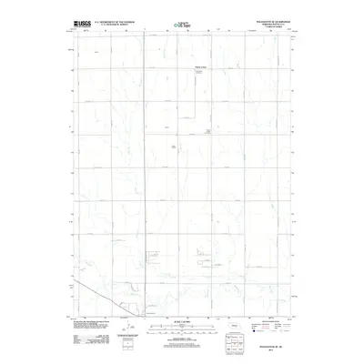 2011 Pleasanton SE2011 Print · USGSBuffalo County agriculture and community life are well-defined in this 2010s survey of the central Nebraska plains. Genealogists and local historians can trace family ties at Saint Mary Cemetery or Prairie Center Cemetery and follow the path of Wood River.
 - 2011 Map of Alfalfa Center, 2011 Print
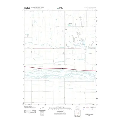 2011 Alfalfa Center2011 Print · USGSThe braided channels of the Platte River valley dominate this Nebraska landscape in the early twenty-first century. Researchers can trace the path of the Kearney Canal and locate local landmarks like Dove Hill Cemetery or the community of Alfalfa Center.
 - 2011 Map of Elm Creek West, 2011 Print
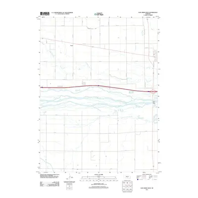 2011 Elm Creek West2011 Print · USGSThe braided channels of the Platte River valley are captured here in the early 21st century, showing a landscape defined by irrigation and river crossings. Genealogists and local historians can trace the settlement of Trued and locate landmarks like the Platte River Bridge and Dawson County Canal.
 - 2011 Map of Kearney, 2011 Print
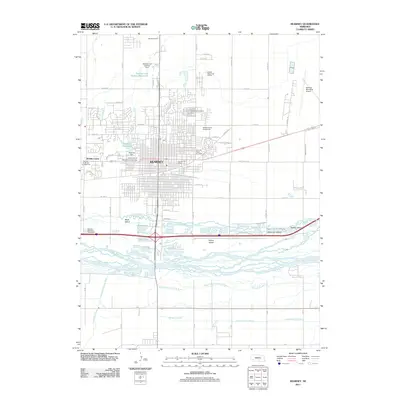 2011 Kearney2011 Print · USGSKearney and its riverfront islands are captured in detail during this recent era of Nebraska's development. Local researchers can trace the city's growth around the University of Nebraska at Kearney or locate landmarks like the Kearney Drive-In Theater and Buffalo County Fairgrounds.
 - 2011 Map of Miller NE, 2011 Print
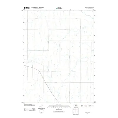 2011 Miller NE2011 Print · USGSBuffalo County agriculture and river hydrology are on display in this early twenty-first-century survey of rural Nebraska. Researchers can trace the winding paths of the South Loup River and Wood River or locate property boundaries along Watertown Rd and Cessna Rd.
 - 2011 Map of Miller SW, 2011 Print
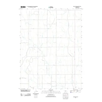 2011 Miller SW2011 Print · USGSBuffalo County rural life in the early twenty-first century is defined by a structured grid of farm roads and vital prairie waterways. Genealogists can trace property boundaries along Apache Rd and Pole Line Rd or follow the path of the Dawson County Canal.
 - 2011 Map of Denman, 2011 Print
 2011 Denman2011 Print · USGSThe Platte River valley in central Nebraska is captured here in the early 2010s, showcasing the braided channels and rural townships. Trace the lands around Kenesaw and Denman or follow the paths of Dry Creek and the West Branch Thirtytwo Mile Creek.
 - 2011 Map of Shelton, 2011 Print
 2011 Shelton2011 Print · USGSShelton and the surrounding Buffalo County farmland are captured here in the early twenty-first century as the community continues its long relationship with the Platte Valley. Researchers can trace the path of W Old Military Rd and locate local landmarks like the Shelton Post Office.
 - 2011 Map of Poole NE, 2011 Print
 2011 Poole NE2011 Print · USGSBuffalo County agriculture and early settlement patterns are meticulously documented in this early twenty-first-century survey of the Nebraska plains. Researchers can trace ancestral connections and rural infrastructure through landmarks like Sodtown Cemetery, Moss Cemetery, and the Antelope Valley terrain.
 - 2011 Map of Cameron, 2011 Print
 2011 Cameron2011 Print · USGSHall County agriculture and water management are on display here in the early twenty-first century. Researchers can locate family heritage sites like Mount Pleasant Cemetery or trace the drainage of Flash Creek and the Benton and Still Reservoir.
 - 2011 Map of Gibbon North, 2011 Print
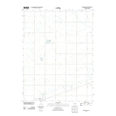 2011 Gibbon North2011 Print · USGSBuffalo County agriculture and water management are the focus of this Nebraska survey. Genealogists and local historians can trace the grid of rural life along Sodtown Rd and Pawnee Rd, or locate family sites near the Wood River and Rhoadarmer Reservoir.
 - 2011 Map of Newark, 2011 Print
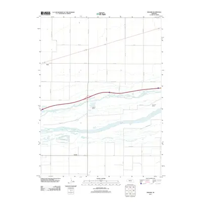 2011 Newark2011 Print · USGSThe braided Platte River valley comes into sharp focus during the early twenty-first century, showcasing a landscape defined by water and grid-lines. Genealogists and local historians can trace the areas surrounding Newark, Killgore Island, and Whisky Slough.
 - 2011 Map of Buckeye Valley, 2011 Print
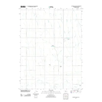 2011 Buckeye Valley2011 Print · USGSBuffalo County agriculture and water management define this Nebraska valley in the early 2010s. Researchers can trace family sites near Riverside Cemetery or follow the course of the Wood River and its reservoirs like Randall Reservoir.
 - 2011 Map of Gibbon South, 2011 Print
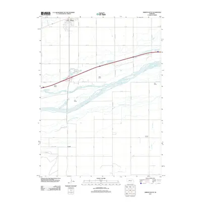 2011 Gibbon South2011 Print · USGSThe braided channels of the Platte River south of Gibbon are captured here in the early twenty-first century. Genealogists and local historians can trace family locations near Lowell, locate the Saint Paul Cemetery, or follow the banks of Wood River.
 - 2011 Map of Poole, 2011 Print
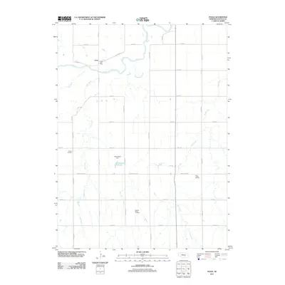 2011 Poole2011 Print · USGSPoole sits along the north bank of the South Loup River in the early twenty-first century, serving as a quiet rural center. Researchers can trace local heritage through the Majors Cemetery, Saint Joseph Cemetery, and the village's own Poole Post Office.
Showing maps 1-25 of 84
Top cities of Buffalo County
- Kearney historical maps
- Gibbon historical maps
- Ravenna historical maps
- Shelton historical maps
- Elm Creek historical maps
- Odessa historical maps
See more
Frequently asked questions
- What are the different types of historical maps available for Buffalo County?
- What is the oldest map of Buffalo County?
- Where can I purchase historical maps of Buffalo County for my home or office?
- Where can I download high-res historical maps of Buffalo County?
- Are there historical topographic maps available for Buffalo County?
- Is there historical aerial imagery available for Buffalo County?
- Where are historical maps of Buffalo County sourced from?