Old Maps of Elm Creek, Nebraska for Genealogy
Trace your family roots with 15 historic maps of Elm Creek. These high-res maps reveal old neighborhoods, homesites, landmarks, and streets — helping you uncover where your ancestors lived and how the area evolved over time.
- Explore historic neighborhoods: Identify where your relatives may have lived in the 1800s or 1900s.
- Compare maps over time: Trace the changes in streets, buildings, and landmarks for multi-generational research.
- Perfect for genealogy & ancestry research: Used by family historians and researchers to map out lineage and migration.
These maps are an incredible resource for exploring your personal connection to Elm Creek's past.
Elm Creek, NE maps
(15)- 1896 Map of Kearney
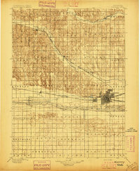 1896 Kearney1896 Print · USGSBuffalo County and the Platte River valley are captured in the late 1890s as the railroad network cemented the region's growth. Genealogists can locate family lands across townships like Williamsburg or trace the early paths of the Union Pacific R. R. and Kearney Canal.7 unique versions available
 - 1955 Map of Grand Island, 1967 Print
 1955 Grand Island1967 Print · USGSCentral Nebraska is seen here during a period of industrial and agricultural growth, centered on the vital Platte River corridor. Researchers can trace the mid-century footprints of the U S Naval Ammunition Depot and the Cornhusker Ordnance Plant.3 unique versions available
 - 1957 Map of Grand Island
 1957 Grand Island1957 Print · USGSCentral Nebraska and Northern Kansas are shown here during a period of massive hydraulic and military expansion in the mid-fifties. Researchers can trace the development of the Harlan County Reservoir and the massive wartime legacy of the Cornhusker Ordnance Plant.
 - 1958 Map of Grand Island
 1958 Grand Island1958 Print · USGSSouth-central Nebraska thrived as a rail and industrial hub during the late fifties, shaped by the braided Platte River. Genealogists and historians can trace rail lines like the Union Pacific RR through towns such as Kearney or locate the sprawling Cornhusker Ordnance Plant.
 - 1961 Map of Elm Creek West, 1963 Print
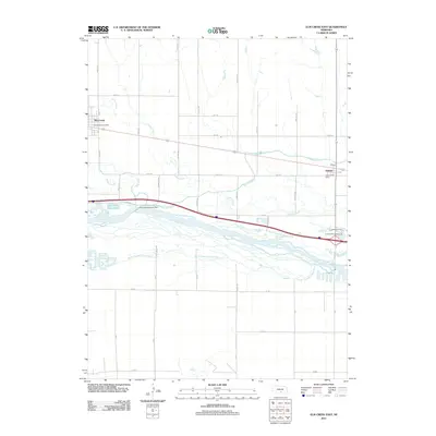
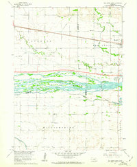 1961 Elm Creek West1963 Print · USGSCentral Nebraska's river valley and rail corridor are captured here in the early sixties, as the irrigation-fed landscape prepared for modern highway expansion. Genealogists can locate rural landmarks like Williamsburg Ch, East Twelfth Sch, and the small siding at Trued.
 - 1962 Map of Elm Creek East, 1964 Print
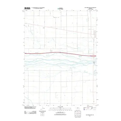
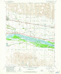 1962 Elm Creek East1964 Print · USGSBuffalo County, Nebraska, is seen here during the transition to the interstate era in the early 1960s. Genealogists and local historians can trace the foundations of Elm Creek and Odessa or locate vanished landmarks like the Landing Field and early Gravel Pits.2 unique versions available
 - 1985 Map of Kearney
 1985 Kearney1985 Print · USGSMid-1980s Nebraska life centers on the fertile Platte River valley during a period of significant agricultural and hydraulic development. Researchers can trace irrigation networks like the Phelps County Canal and find regional landmarks from Johnson Lake to the Union Pacific rail lines.2 unique versions available
 - 2011 Map of Elm Creek East, 2011 Print
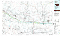
 2011 Elm Creek East2011 Print · USGSCovers Elm Creek, including Odessa, Buffalo County, and other nearby areas
 - 2011 Map of Elm Creek West, 2011 Print
 2011 Elm Creek West2011 Print · USGSCovers Elm Creek, including Trued, Buffalo County, and other nearby areas
 - 2014 Map of Elm Creek West, 2014 Print
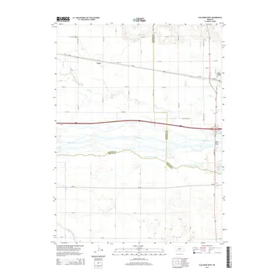 2014 Elm Creek West2014 Print · USGSCovers Elm Creek, including Trued, Buffalo County, and other nearby areas
 - 2014 Map of Elm Creek East, 2014 Print
 2014 Elm Creek East2014 Print · USGSCovers Elm Creek, including Odessa, Buffalo County, and other nearby areas
 - 2017 Map of Elm Creek East, 2017 Print
 2017 Elm Creek East2017 Print · USGSCovers Elm Creek, including Odessa, Buffalo County, and other nearby areas
 - 2017 Map of Elm Creek West, 2017 Print
 2017 Elm Creek West2017 Print · USGSCovers Elm Creek, including Trued, Buffalo County, and other nearby areas
 - 2021 Map of Elm Creek East, 2021 Print
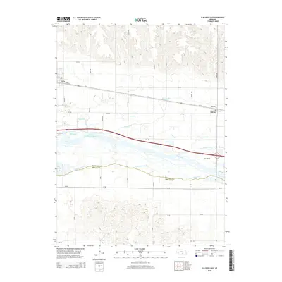
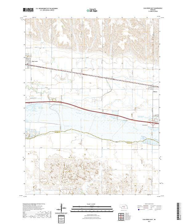 2021 Elm Creek East2021 Print · USGSThe Platte River valley in the early 2020s shows a complex network of irrigation and transport between Elm Creek and Odessa. Researchers can trace the path of the Kearney Canal or locate local landmarks like Blue Hole East Lake and Long Island.
 - 2021 Map of Elm Creek West, 2021 Print
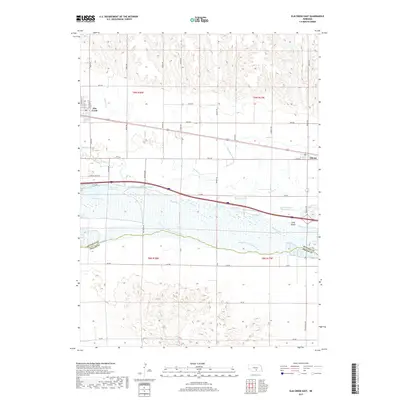
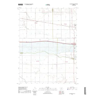
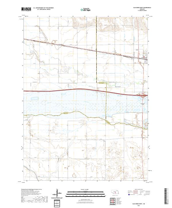 2021 Elm Creek West2021 Print · USGSDawson County and the central Platte Valley are documented here in 2021, showing the convergence of three Nebraska counties. Researchers can trace the rural settlement of Trued, find the western edge of Elm Creek, and locate features like Blue Hole West Lake.
End of results
Showing maps 1-15 of 15
Top cities near Elm Creek
- Overton historical maps
- Odessa historical maps
- Amherst historical maps
- Sumner historical maps
- Riverdale historical maps
- Westmark historical maps
See more
Frequently asked questions
- What are the different types of historical maps available for Elm Creek?
- What is the oldest map of Elm Creek?
- Where can I purchase historical maps of Elm Creek for my home or office?
- Where can I download high-res historical maps of Elm Creek?
- Are there historical topographic maps available for Elm Creek?
- Is there historical aerial imagery available for Elm Creek?
- Where are historical maps of Elm Creek sourced from?