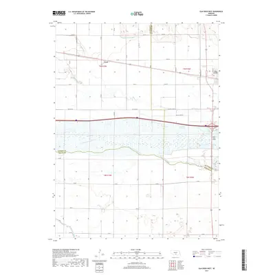
2017 Map of Elm Creek West
USGS Topo · Published 2017About this map
The braided waters of the Platte River dominate the central landscape of this Nebraska quadrangle, marking the convergence of Buffalo, Dawson, and Phelps counties. North of the river, the village of Elm Creek and the settlement of Trued represent the local rail-and-road economy, situated within a complex grid of agricultural roads like Min Main Rd. The hydrologic infrastructure is particularly dense here, featuring the Dawson County Canal and the Phelps County Canal, which support the region's intensive farming. The riparian zone is further characterized by the South Channel Platte River and the Blue Hole West Lake, illustrating how the river's path has been managed and utilized over time. This 2017 survey provides an exacting record of these water management systems and the Platte River Bridge crossing that links the surrounding rural communities.
Find a feature on this map
32 named features on this map. Tap any name to fly to it.
Don’t see what you’re looking for? This feature index may not catch every label — zoom into the map to look around manually.
Map Details
Editions of this 2017 Elm Creek West Map
This is the sole edition of this map. No revisions or reprints were ever made.
Other maps of this area

1896 · Lexington
USGS Topo · 1:125,000

1896 · Kearney
USGS Topo · 1:125,000

1899 · Lexington
USGS Topo · 1:125,000

1955 · Grand Island
USGS Topo · 1:250,000

1957 · Grand Island
USGS Topo · 1:250,000

1958 · Grand Island
USGS Topo · 1:250,000

1961 · Elm Creek West
USGS Topo · 1:24,000

1961 · Amherst
USGS Topo · 1:24,000

1961 · Miller SW
USGS Topo · 1:24,000

1962 · Elm Creek East
USGS Topo · 1:24,000