Old Maps of Precinct 21, Nebraska for Hiking & Exploration
Hike through history with 24 historic maps of Precinct 21. Explore old trails, ghost towns, and forgotten backroads — perfect for outdoor adventurers and local explorers.
- Rediscover forgotten places: Map out old mining camps, roads, and footpaths that no longer exist on modern maps.
- Layer with modern tools: Combine with LiDAR or satellite views to plan hikes through historical terrain.
- Made for exploration: Popular among hikers, overlanders, and local history lovers.
Use these maps to find adventure and explore the hidden past of Precinct 21.
Precinct 21, NE maps
(24)- 1955 Map of Sioux City, 1959 Print
 1955 Sioux City1959 Print · USGSThe Missouri River valley in the mid-fifties is captured here during a time of major engineering and social transition. Genealogists and historians can trace the foundations of Gavins Point Dam, tribal boundaries on the Santee Sioux Indian Reservation, and local landmarks like the Norfolk State Hospital.4 unique versions available
 - 1958 Map of Sioux City
 1958 Sioux City1958 Print · USGSThe Missouri River valley in the late fifties was a bustling intersection of tribal lands, rail corridors, and river towns. Genealogists can trace family roots through specific rural sites like Daisy Valley School, St Johns Church and School, and Yankton State Hospital.
 - 1959 Map of Sioux City
 1959 Sioux City1959 Print · USGSThe tri-state region surrounding the Missouri River is captured here in the late fifties, showing the convergence of Nebraska, South Dakota, and Iowa. Researchers can trace rural lineages through numerous country schoolhouses like Cemetery School and the many numbered Washington School districts.
 - 1971 Map of Laurel, 1973 Print
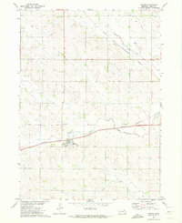
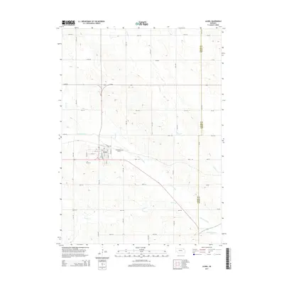
 1971 Laurel1973 Print · USGSNortheastern Nebraska agricultural lands are captured here in the early seventies as the rail lines still converged at Laurel. Genealogists and local historians can locate rural landmarks like Golden Prairie Sch, Logan Center Ch, and the Laurel Cem.
 - 1971 Map of Belden, 1973 Print
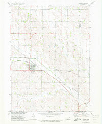
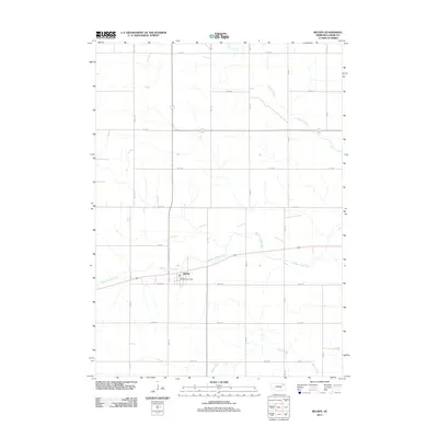
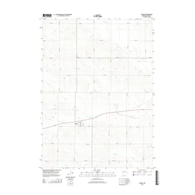
 1971 Belden1973 Print · USGSThe village of Belden and the surrounding Nebraska farmland are captured here in the early 1970s. Trace the paths of the Burlington Northern railroad or locate local landmarks like the Morning Glory Sch and Rabdaul Park.
 - 1971 Map of Laurel SE, 1973 Print
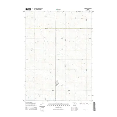
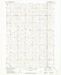 1971 Laurel SE1973 Print · USGSThe tri-county boundary of Wayne, Cedar, and Dixon counties is shown in the early 1970s, capturing a traditional Nebraska farming landscape. Researchers can trace the Old RR Grade and locate rural landmarks like Mount Hope Cem and Sunny Slope Sch.
 - 1971 Map of Carroll, 1973 Print
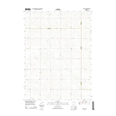
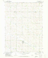 1971 Carroll1973 Print · USGSThe town of Carroll and the surrounding farmland of Wayne and Cedar Counties are captured here in the early 1970s. Local researchers can trace the path of the Old Deer Railroad Grade and locate landmarks like Elmwood Cem and the Sunshine Sch.
 - 1985 Map of Norfolk, 1986 Print
 1985 Norfolk1986 Print · USGSNortheast Nebraska in the mid-eighties shows a landscape shaped by the Elkhorn River and established rail corridors. Trace the growth of towns like Norfolk and Wayne, locating institutional landmarks such as Wayne State College and Norfolk Regional Center.2 unique versions available
 - 2011 Map of Belden, 2011 Print
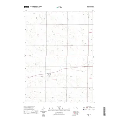
 2011 Belden2011 Print · USGSCovers Precinct 21, including Belden, Precinct 15, and other nearby areas
 - 2011 Map of Laurel, 2011 Print
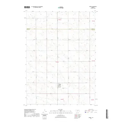
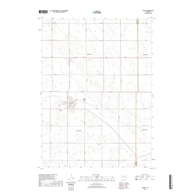
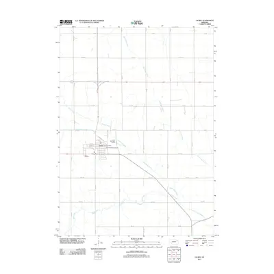 2011 Laurel2011 Print · USGSCovers Precinct 21, including Laurel, Clark Township, and other nearby areas
 - 2011 Map of Laurel SE, 2011 Print
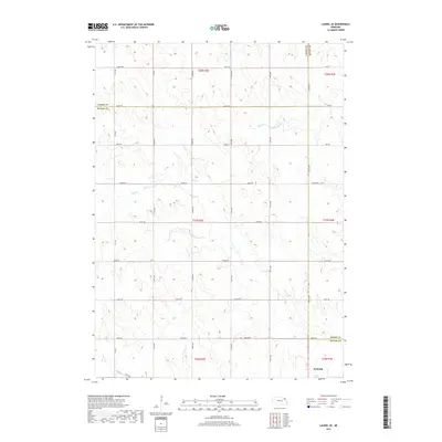
 2011 Laurel SE2011 Print · USGSCovers Precinct 21, including Wayne, Concord Township, and other nearby areas
 - 2011 Map of Carroll, 2011 Print
 2011 Carroll2011 Print · USGSCovers Precinct 21, including Carroll, Precinct 20, and other nearby areas
 - 2014 Map of Laurel SE, 2014 Print
 2014 Laurel SE2014 Print · USGSCovers Precinct 21, including Wayne, Concord Township, and other nearby areas
 - 2014 Map of Belden, 2014 Print
 2014 Belden2014 Print · USGSCovers Precinct 21, including Belden, Precinct 15, and other nearby areas
 - 2014 Map of Laurel, 2014 Print
 2014 Laurel2014 Print · USGSCovers Precinct 21, including Laurel, Clark Township, and other nearby areas
 - 2014 Map of Carroll, 2014 Print
 2014 Carroll2014 Print · USGSCovers Precinct 21, including Carroll, Precinct 20, and other nearby areas
 - 2017 Map of Carroll, 2017 Print
 2017 Carroll2017 Print · USGSCovers Precinct 21, including Carroll, Precinct 20, and other nearby areas
 - 2017 Map of Laurel SE, 2017 Print
 2017 Laurel SE2017 Print · USGSCovers Precinct 21, including Wayne, Concord Township, and other nearby areas
 - 2017 Map of Laurel, 2017 Print
 2017 Laurel2017 Print · USGSCovers Precinct 21, including Laurel, Clark Township, and other nearby areas
 - 2017 Map of Belden, 2017 Print
 2017 Belden2017 Print · USGSCovers Precinct 21, including Belden, Precinct 15, and other nearby areas
 - 2021 Map of Carroll, 2021 Print
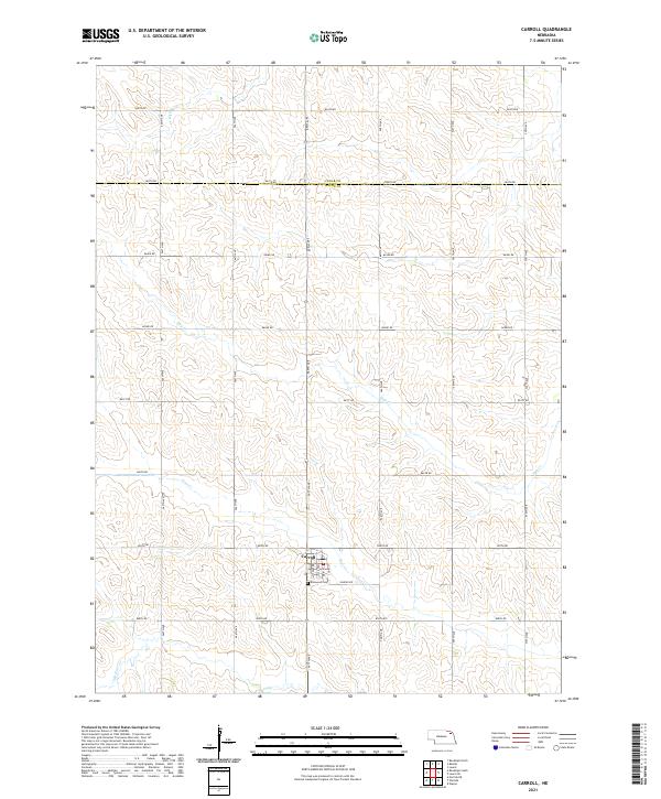 2021 Carroll2021 Print · USGSWayne County agriculture and the village of Carroll are well-documented in the early twenty-first century as the prairie landscape transitions across the Cedar County line. Researchers can trace local landmarks like Elmwood Cem and the winding course of Deer Cr.
 - 2021 Map of Laurel SE, 2021 Print
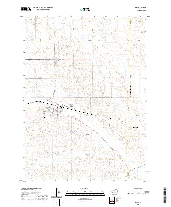
 2021 Laurel SE2021 Print · USGSNortheast Nebraska's rural landscape is captured here in the early 2020s, where the borders of Wayne, Cedar, and Dixon counties meet. Genealogists and land researchers can trace property layouts along Dog Cr and historical section lines like 864th Rd and 576th Ave.
 - 2021 Map of Belden, 2021 Print
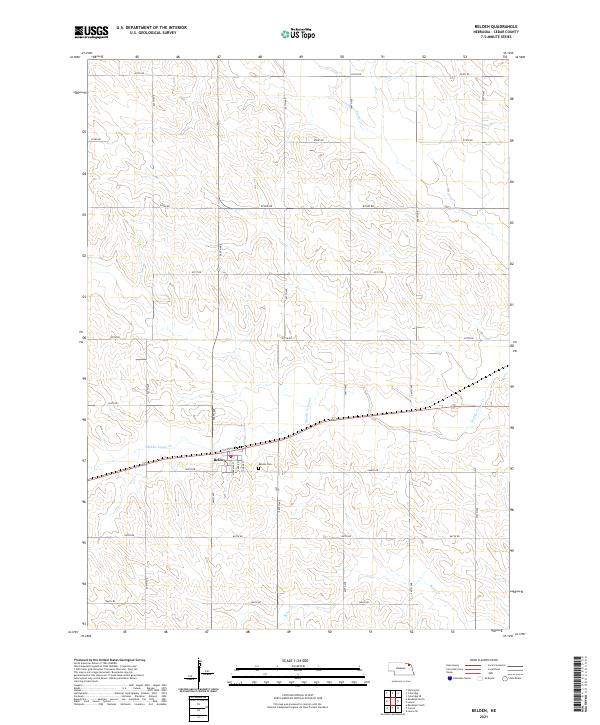 2021 Belden2021 Print · USGSCedar County agriculture and small-town life are documented here during the early twenty-first century. Genealogists and local historians can locate Belden and its local streets, trace the winding Middle Logan Cr, or find family records at Belden Cem.
 - 2021 Map of Laurel, 2021 Print
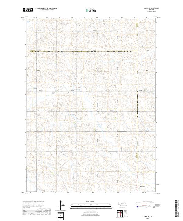
 2021 Laurel2021 Print · USGSThe agricultural landscape around Laurel appears in high detail during the early 2020s, showing a region shaped by modern irrigation and water management. Researchers can trace the town’s growth near Laurel Cem or follow the path of the Logan Cr Dredge and Baker Cr.
End of results
Showing maps 1-24 of 24
Top cities near Precinct 21
- Wayne historical maps
- Hartington historical maps
- Wakefield historical maps
- Laurel historical maps
- Coleridge historical maps
- Winside historical maps
See more
Top neighborhoods of Precinct 21
Frequently asked questions
- What are the different types of historical maps available for Precinct 21?
- What is the oldest map of Precinct 21?
- Where can I purchase historical maps of Precinct 21 for my home or office?
- Where can I download high-res historical maps of Precinct 21?
- Are there historical topographic maps available for Precinct 21?
- Is there historical aerial imagery available for Precinct 21?
- Where are historical maps of Precinct 21 sourced from?