Old Maps of Imperial, Nebraska
Explore 20 old maps of Imperial, spanning from 1954 to today. These high-resolution historic maps reveal how streets, neighborhoods, landmarks, and natural features evolved over time — perfect for genealogy, metal detecting, research, and local history exploration.
What you can do with these maps:
- See how Imperial changed over time: Compare historical maps to modern-day views to trace roads, homesites, rail lines & more.
- View detailed metadata: Each map includes creators, publishers, year, scale, and archive source.
- Overlay maps with satellite & LiDAR: Visualize the past alongside modern tools to explore terrain & human change.
- Trusted historical sources: Maps sourced from the USGS, Library of Congress, and other archives.
- Access maps your way: View online, download high-res files, or order prints for personal or research use.
Start exploring old maps of Imperial to uncover forgotten places, hidden landmarks, and the deep history beneath your feet.
Imperial, NE maps
(20)- 1954 Map of McCook, 1966 Print
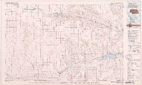
 1954 McCook1966 Print · USGSSouthwest Nebraska in the mid-fifties reveals a landscape shaped by major water projects and the Chicago Burlington and Quincy RR. Trace ancestral roots and defunct rail stops in McCook, Wauneta, and along the shores of Swanson Lake.2 unique versions available
 - 1957 Map of McCook
 1957 McCook1957 Print · USGSSouthwestern Nebraska in the mid-fifties is captured here during a period of significant water development and rail-based commerce. Researchers can trace the path of the Chicago Burlington and Quincy through Indianola and Bartley, or locate rural settlements like Chase Village and Ough near the Sand Hills.
 - 1958 Map of McCook
 1958 McCook1958 Print · USGSSouthwest Nebraska during the late fifties reveals a landscape of massive new reservoirs and established rail hubs like McCook. Genealogists can trace family footprints through rural centers like St Johns Church and the many grain elevators along the Union Pacific RR.2 unique versions available
 - 1973 Map of Champion, 1977 Print
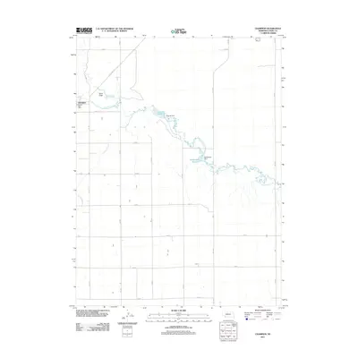
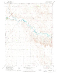 1973 Champion1977 Print · USGSChase County, Nebraska, comes into focus in the mid-1970s as agricultural life centers around the waters of Frenchman Creek. Researchers can trace the local landscape through the Zion Cem, the village of Champion, and the Imperial Powerplant.
 - 1973 Map of Imperial, 1977 Print
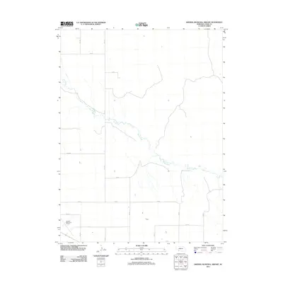
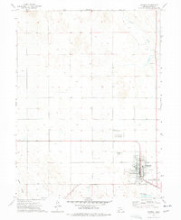 1973 Imperial1977 Print · USGSImperial and the surrounding Chase County plains are captured in the early 1970s, showing the community's growth as a prairie agricultural hub. Genealogists and local historians can trace the town grid, find the Mount Hope Cem, and see the early layout of the Imperial Municipal Airport.
 - 1973 Map of Imperial Municipal Airport, 1977 Print
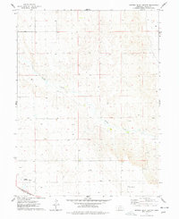 1973 Imperial Municipal Airport1977 Print · USGSChase County, Nebraska, is documented here in the early seventies, capturing a transition in high plains transportation and land use. Genealogists and historians can trace the Burlington Northern rail line and aviation landmarks like Imperial Municipal Airport and the Smith Landing Strip (East).
 - 1979 Map of Imperial
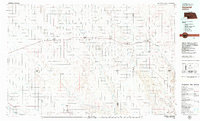 1979 Imperial1979 Print · USGSThe high plains of southwest Nebraska are captured here in the late seventies, showing a landscape defined by rail corridors and creek draws. Genealogists can trace family names and sites through Imperial, Wallace, and Hayes Center, or locate rural landmarks like Arterburn Lake.
 - 1979 Map of Benkelman
 1979 Benkelman1979 Print · USGSSouthwestern Nebraska in the late seventies is shown as a network of river-valley towns and high-plains ranching country. Genealogists and researchers can trace the rail corridor through Benkelman, Culbertson, and Haigler, or locate the reservoir lands at Enders.
 - 2011 Map of Imperial Municipal Airport, 2011 Print
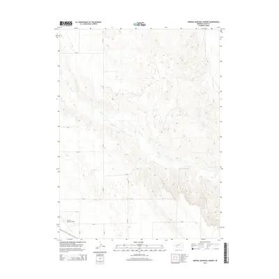
 2011 Imperial Municipal Airport2011 Print · USGSCovers Imperial, including Chase County, United States, and other nearby areas
 - 2011 Map of Champion, 2011 Print
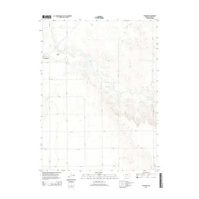
 2011 Champion2011 Print · USGSCovers Imperial, including Champion, Chase County, and other nearby areas
 - 2011 Map of Imperial, 2011 Print
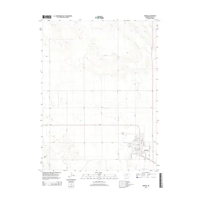
 2011 Imperial2011 Print · USGSCovers Imperial, including Chase County, United States, and other nearby areas
 - 2014 Map of Imperial, 2014 Print
 2014 Imperial2014 Print · USGSCovers Imperial, including Chase County, United States, and other nearby areas
 - 2014 Map of Imperial Municipal Airport, 2014 Print
 2014 Imperial Municipal Airport2014 Print · USGSCovers Imperial, including Chase County, United States, and other nearby areas
 - 2014 Map of Champion, 2014 Print
 2014 Champion2014 Print · USGSCovers Imperial, including Champion, Chase County, and other nearby areas
 - 2017 Map of Champion, 2017 Print
 2017 Champion2017 Print · USGSCovers Imperial, including Champion, Chase County, and other nearby areas
 - 2017 Map of Imperial, 2017 Print
 2017 Imperial2017 Print · USGSCovers Imperial, including Chase County, United States, and other nearby areas
 - 2017 Map of Imperial Municipal Airport, 2017 Print
 2017 Imperial Municipal Airport2017 Print · USGSCovers Imperial, including Chase County, United States, and other nearby areas
 - 2021 Map of Champion, 2021 Print
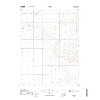
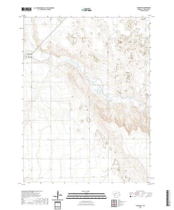 2021 Champion2021 Print · USGSChase County agricultural life and the vital waters of the Frenchman Valley are captured in this recent survey. Local historians can trace the local street layout of Champion and find landmarks like the PO or the Hoffmeister Reservoir.
 - 2021 Map of Imperial Municipal Airport, 2021 Print
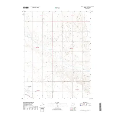
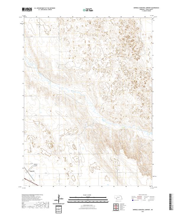 2021 Imperial Municipal Airport2021 Print · USGSChase County's high plains are documented here in the early 2020s, centered on the aviation and transit hub of the southwest. Genealogists and local researchers can trace the modern boundaries of Imperial and find landmarks like Imperial Municipal Airport and Spring Cr.
 - 2021 Map of Imperial, 2021 Print
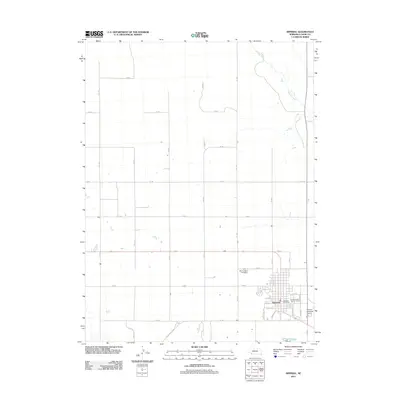
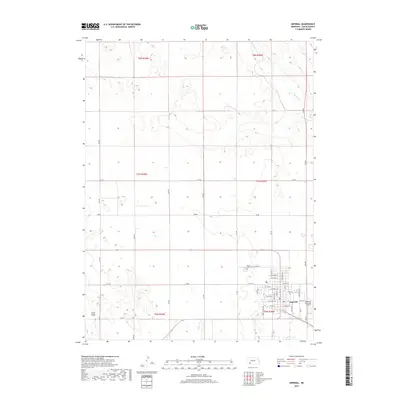
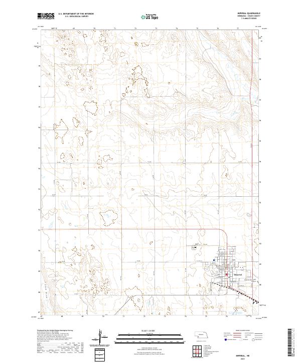 2021 Imperial2021 Print · USGSIn the early twenty-first century, Imperial remains the quintessential High Plains county seat, defined by its orderly street grid and surrounding ranchlands. Genealogists and local historians can locate the Chase County Courthouse, Mount Hope Cem, and the historic drainage of Sand Draw.
End of results
Showing maps 1-20 of 20
Top cities near Imperial
Frequently asked questions
- What are the different types of historical maps available for Imperial?
- What is the oldest map of Imperial?
- Where can I purchase historical maps of Imperial for my home or office?
- Where can I download high-res historical maps of Imperial?
- Are there historical topographic maps available for Imperial?
- Is there historical aerial imagery available for Imperial?
- Where are historical maps of Imperial sourced from?