2020s Maps of Custer County, Nebraska
Explore 57 historic maps of Custer County from the 2020s. These maps offer a rare glimpse into what life looked like during the 2020s — showing old roads, neighborhoods, homes, and landmarks that have changed or disappeared over time.
Whether you're researching your family's past, planning a metal detecting trip, or studying how Custer County's landscape evolved across the 2020s, these high-resolution maps are a powerful tool for exploring the history of this region.
- Focus on a specific era: All maps on this page are from the 2020s, giving you a focused view of this time period.
- See what’s changed: Compare century-old streets, trails, and buildings to today's modern landscape using overlays and satellite layers.
- Research with precision: Use these maps for genealogy, historical research, land use analysis, or educational projects.
- View, download, or print: Maps are fully viewable online in high resolution, and can be downloaded or printed for your own records.
Start exploring Custer County's history through authentic maps from the 2020s. This is your window into the past.
Custer County, NE maps
(57)- 2021 Map of Sargent SW, 2021 Print
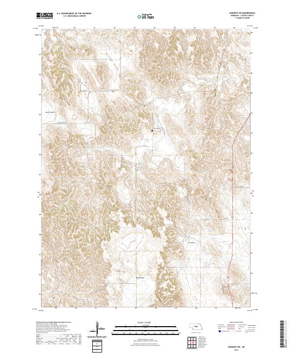 2021 Sargent SW2021 Print · USGSCuster County’s rolling Loess Hills and tablelands are meticulously detailed in this recent survey of the Nebraska interior. Local historians can trace family land across Boggs Table or locate the rural Somerford Cem near Round Valley.
 - 2021 Map of Litchfield SW, 2021 Print
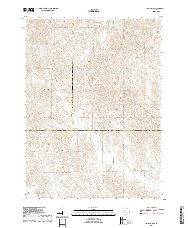 2021 Litchfield SW2021 Print · USGSSherman and Custer counties at the start of the 2020s remain a landscape of precise section-line roads and deep prairie valleys. Researchers can trace land ownership patterns near Pleasant Valley or locate local landmarks like Unick Reservoir and Oak Cr.
 - 2021 Map of Callaway NW, 2021 Print
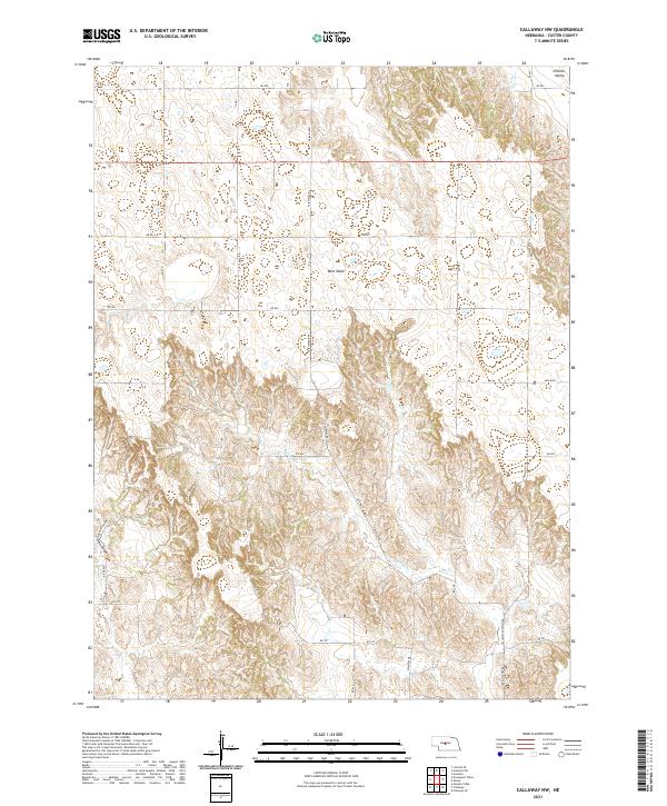 2021 Callaway NW2021 Print · USGSCuster County's agricultural heartland is documented here in the early 2020s, showing the intersection of tabletop plateaus and deep canyons. Researchers can trace land tracts across West Table or follow rural transit routes like Callaway-Anselmo Rd and River Rd.
 - 2021 Map of Hoagland, 2021 Print
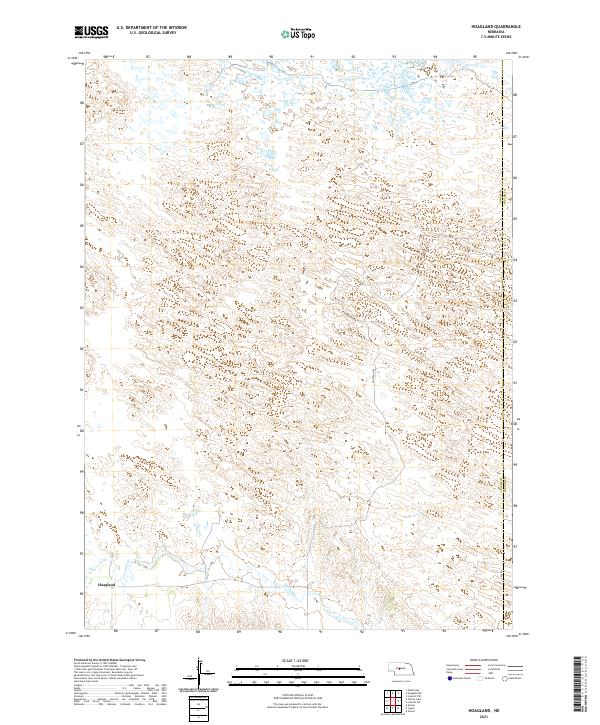 2021 Hoagland2021 Print · USGSHoagland and the surrounding Nebraska sandhills are shown here in the modern era as the landscape remains defined by its sparse prairie settlement. Researchers can trace the path of the S Loup River and locate the rural roads like Halstead Ln.
 - 2021 Map of Arnold, 2021 Print
 2021 Arnold2021 Print · USGSArnold and the South Loup River valley are captured here in the early twenty-first century as they wind through the Custer County hills. Genealogists and local historians can locate Arnold Cem, trace the waters of Arnold Lake, and explore the distinct terrain of Judkins Table.
 - 2021 Map of Walworth, 2021 Print
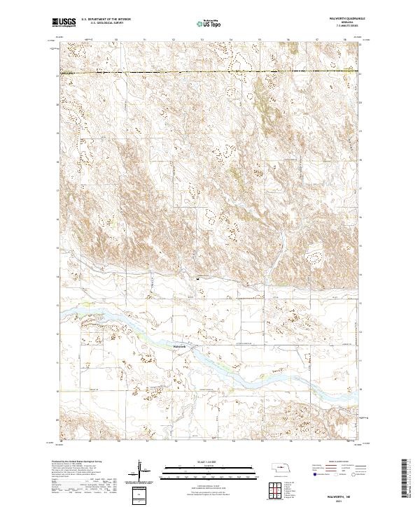 2021 Walworth2021 Print · USGSCuster County ranching country and the Middle Loup River valley are captured in this recent survey. Researchers can locate the Predmore Cem and trace the routes of Justawee Rd and Victoria Springs Rd through the canyons.
 - 2021 Map of Comstock NW, 2021 Print
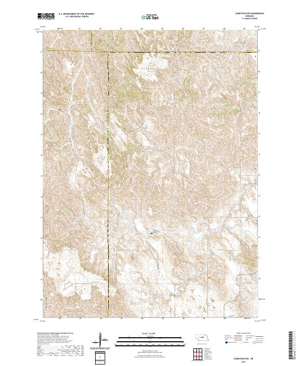 2021 Comstock NW2021 Print · USGSThe rural intersection of four Nebraska counties is captured in this recent survey of the central plains landscape. Genealogists and local historians can locate the Bohemian Brotherhood Cem and trace seasonal watercourses like Sioux Cr and N Br Turtle Cr.
 - 2021 Map of Mason City, 2021 Print
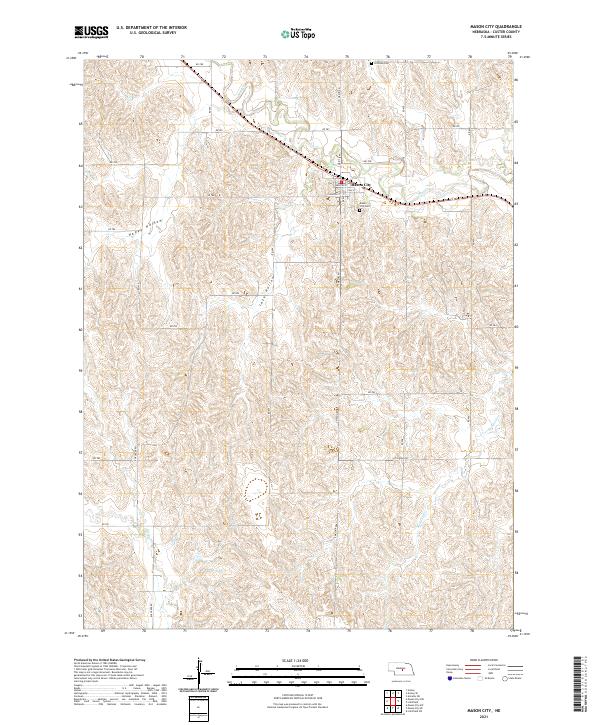 2021 Mason City2021 Print · USGSMason City and the surrounding Custer County ranchlands are documented here in the early 2020s. Genealogists can locate family sites near Mason City Cem and Coffman Cem or trace the drainage of Mud Cr through the local hollows.
 - 2021 Map of Roten Valley North, 2021 Print
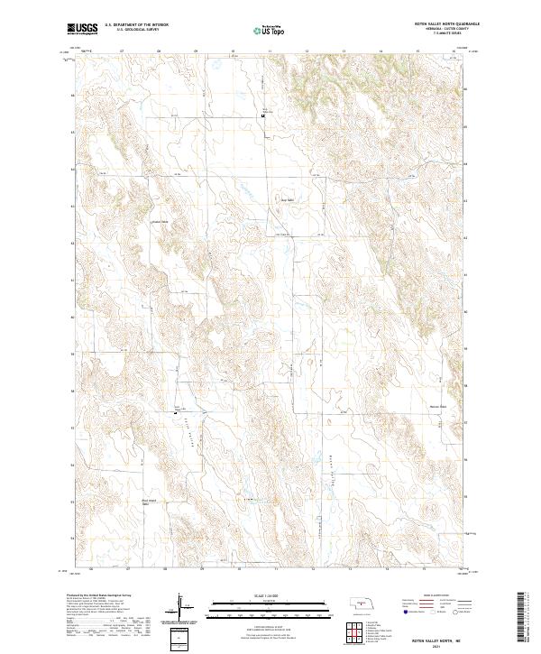 2021 Roten Valley North2021 Print · USGSCuster County's distinctive upland tablelands and narrow valleys are documented here during the early twenty-first century. Genealogists and local historians can locate remote burial sites like Sells Valley Cem and Stop Table Cem among the high plateaus of Schukar Table and Rock Island Table.
 - 2021 Map of Linscott SE, 2021 Print
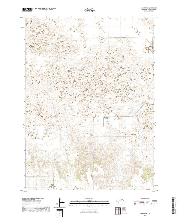 2021 Linscott SE2021 Print · USGSCuster County ranching country is captured in the early twenty-first century, showcasing the transition between sandy basins and high tablelands. Researchers can locate family landmarks like the Werner Ranch Airfield or trace the geography of Sand Valley and West Table.
 - 2021 Map of Ansley NE, 2021 Print
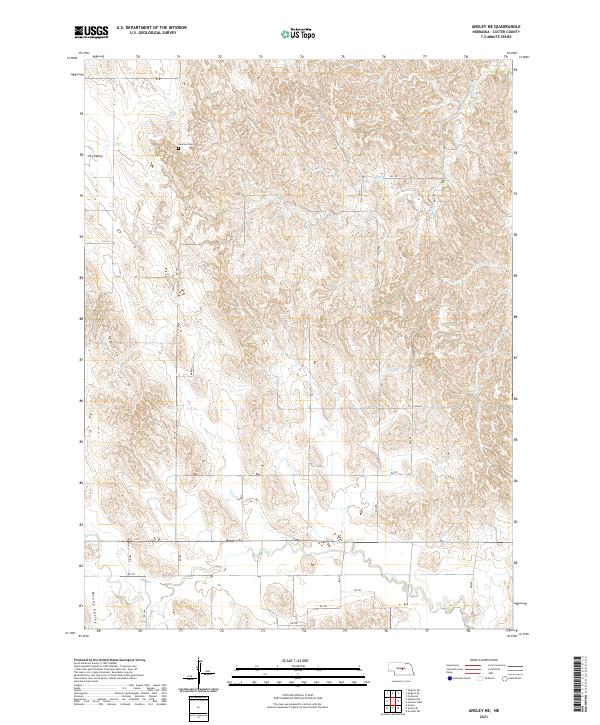 2021 Ansley NE2021 Print · USGSCuster County in the early 2020s shows a landscape of persistent agricultural tradition and natural drainages. Researchers can locate family landmarks like Swanson Cem and trace the geography of Dry Valley and Moody Valley.
 - 2021 Map of Logan, 2021 Print
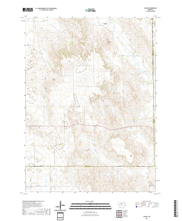 2021 Logan2021 Print · USGSThe Nebraska plains near the Logan, Custer, and Lincoln county lines are documented here in recent detail. You can trace local road networks like Milldale Rd and follow the course of the S Loup River past landmarks like Kings Hill.
 - 2021 Map of Linscott NW, 2021 Print
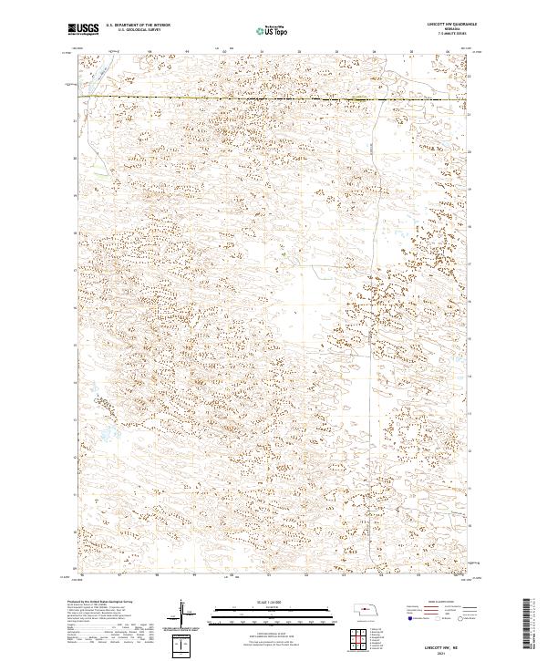 2021 Linscott NW2021 Print · USGSThe Nebraska Sandhills at the Custer and Blaine county line are shown here in modern detail, revealing a landscape of remote grazing land. Genealogists and researchers can trace the course of Wild Horse Cr and locate property relative to Co Rd 8 and Grandview Rd.
 - 2021 Map of Westerville, 2021 Print
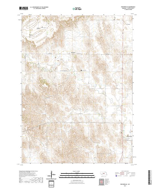 2021 Westerville2021 Print · USGSCuster County settlement and high plains agriculture define this central Nebraska landscape in the early 2020s. Researchers can trace local genealogy and land use through sites like Westerville Cem, Weissert, and the expansive French Tableland.
 - 2021 Map of Lillian, 2021 Print
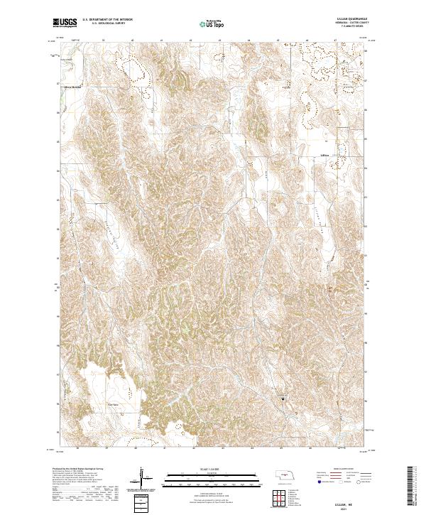 2021 Lillian2021 Print · USGSCuster County's rural tablelands and valleys are documented in this contemporary survey of central Nebraska. Researchers can trace land divisions and local landmarks like Hilldale Cem, the settlement of Lillian, and the distinct topography of Pleasant Valley.
 - 2021 Map of Roten Valley South, 2021 Print
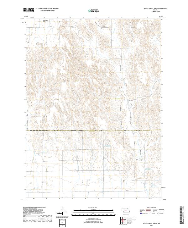 2021 Roten Valley South2021 Print · USGSCuster and Dawson counties are captured here in the early twenty-first century as a landscape of high plateaus and managed water. Researchers can trace land use through features like Rock Island Table, Stump Ditch, and Feddersen Reservoir.
 - 2021 Map of Merna, 2021 Print
 2021 Merna2021 Print · USGSCuster County's agricultural heartland is documented here in the early twenty-first century, centered on the village of Merna. Researchers can trace old section lines and rural landmarks across the West Table and through the deep cuts of Custer Canyon or Yellow Dog Canyon.
 - 2021 Map of Odencranze Table South, 2021 Print
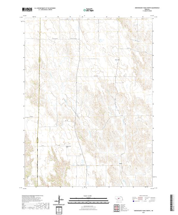
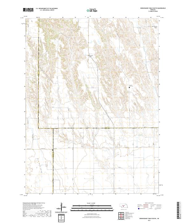 2021 Odencranze Table South2021 Print · USGSAgricultural life on the Nebraska tablelands is documented in this recent survey where the borders of Custer, Lincoln, and Dawson counties meet. Genealogists and historians can locate legacy sites like Swedish Grove Cem and Linburg Cem among the expansive views of Odencranze Table.
 - 2021 Map of Linscott, 2021 Print
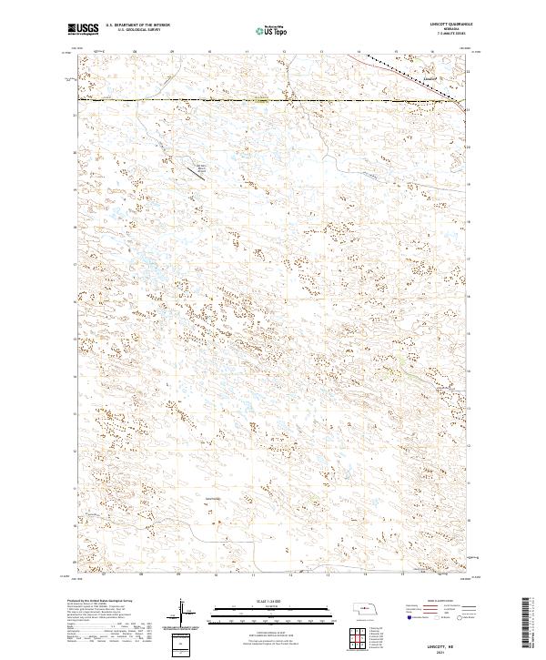 2021 Linscott2021 Print · USGSCuster and Blaine counties are surveyed here in the early 2020s, revealing a landscape of remote ranching and high-plains roads. Genealogists and local historians can trace family land via Mc Ginn Ranch Airport and the settlement of Linscott.
 - 2021 Map of Arnold SW, 2021 Print
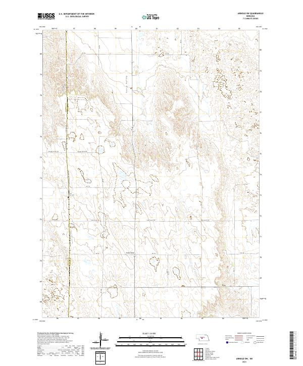 2021 Arnold SW2021 Print · USGSThe Nebraska Sandhills on the Custer and Lincoln County line are shown here in the early twenty-first century. Genealogists and local historians can locate the Kilmer Valley Cem and trace the rural paths of Kilmar Valley Rd and Niedan Rd.
 - 2021 Map of Anselmo NE, 2021 Print
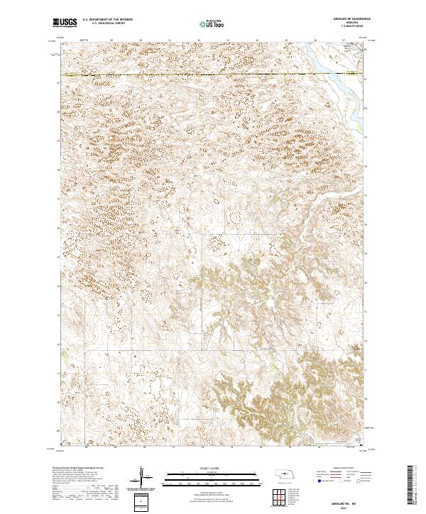 2021 Anselmo NE2021 Print · USGSThe rural border of Custer and Blaine counties is shown here in the early twenty-first century, centered on a landscape of deep canyons and river drainage. Genealogists and researchers can locate the Victoria Springs Cem and trace the path of the Middle Loup River and Rankin Ditch.
 - 2021 Map of Davenport Table, 2021 Print
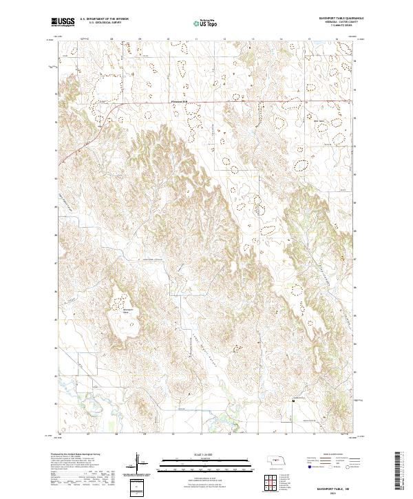 2021 Davenport Table2021 Print · USGSCuster County's high tablelands and deep canyon breaks are meticulously detailed in the early 2020s. Researchers can trace the plateau at Davenport Table or locate the Woldheim Cem and the settlement at Pleasant Hill near the South Loup River.
 - 2021 Map of Mason City NW, 2021 Print
 2021 Mason City NW2021 Print · USGSCuster County ranching country is shown here in the early 2020s, defined by its high-plains topography and section-line road network. Researchers can trace rural water sources and local routes such as Knapp Reservoir, Cat Cr, and Cumro Rd.
 - 2021 Map of Arcadia SW, 2021 Print
 2021 Arcadia SW2021 Print · USGSThe Nebraska prairie at the Sherman and Custer county line is captured here in the early twenty-first century. Researchers can trace the rural landscape through the course of Clear Cr and locate the historic Lone Elm Cem along the section roads.
 - 2021 Map of Odencranze Table North, 2021 Print
 2021 Odencranze Table North2021 Print · USGSThe high tablelands of Lincoln and Custer County are captured here in the early twenty-first century. Researchers can trace the rural settlement around Etna or explore the geography of Odencranze Table and Pancake Valley.
Showing maps 1-25 of 57
Top cities of Custer County
- Broken Bow historical maps
- Arnold historical maps
- Callaway historical maps
- Sargent historical maps
- Ansley historical maps
- Merna historical maps
See more
Frequently asked questions
- What are the different types of historical maps available for Custer County?
- What is the oldest map of Custer County?
- Where can I purchase historical maps of Custer County for my home or office?
- Where can I download high-res historical maps of Custer County?
- Are there historical topographic maps available for Custer County?
- Is there historical aerial imagery available for Custer County?
- Where are historical maps of Custer County sourced from?