Old Maps of Custer County, Nebraska for Hiking & Exploration
Hike through history with 300 historic maps of Custer County. Explore old trails, ghost towns, and forgotten backroads — perfect for outdoor adventurers and local explorers.
- Rediscover forgotten places: Map out old mining camps, roads, and footpaths that no longer exist on modern maps.
- Layer with modern tools: Combine with LiDAR or satellite views to plan hikes through historical terrain.
- Made for exploration: Popular among hikers, overlanders, and local history lovers.
Use these maps to find adventure and explore the hidden past of Custer County.
Custer County, NE maps
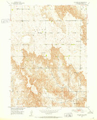
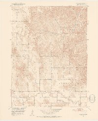
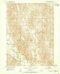
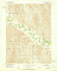
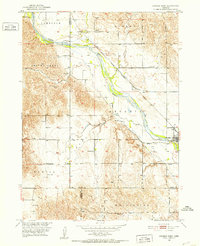
(300)- 1948 Map of Linscott, 1970 Print
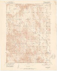
 1948 Linscott1970 Print · USGSCuster County ranching communities were still defined by their local one-room schoolhouses in the late 1940s. Genealogists can trace family homesteads near landmarks like Linscott, Sand Valley Sch, and the remote Yucca Hill Sch.
 - 1950 Map of Linscott
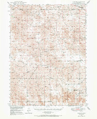
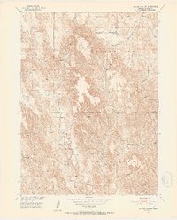
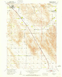
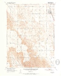
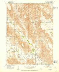
 1950 Linscott1950 Print · USGSThe Nebraska Sandhills come into focus in the late 1940s, showing a vast landscape of isolated school districts and rural post offices. Local historians can locate specific community centers like Climax Sch, Linscott, and the remote Eureka Valley Sch.2 unique versions available
 - 1951 Map of Hoagland
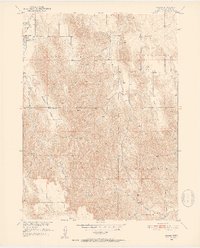
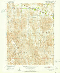
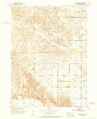
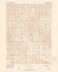
 1951 Hoagland1951 Print · USGSThe Logan County Sandhills come into focus mid-century, showing a landscape defined by the South Loup River and large family cattle operations. Genealogists and historians can trace historic holdings like Johnson Ranch and Marr Ranch or locate the site of School No 30.2 unique versions available
 - 1951 Map of Broken Bow NE, 1952 Print
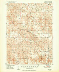
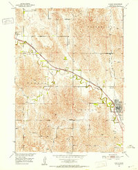
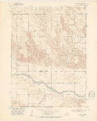
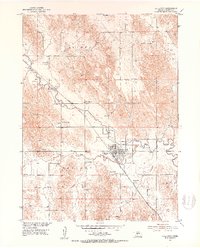
 1951 Broken Bow NE1952 Print · USGSCuster County life in the early fifties was centered on the valleys and rail lines that connected these Nebraska townships. Genealogists can trace family roots through several rural landmarks, such as Bethel Ch, Reed Valley Sch, and the Broken Bow Fairground.3 unique versions available
 - 1951 Map of Westerville, 1952 Print
 1951 Westerville1952 Print · USGSCentral Nebraska farm country is captured here during the early fifties, centered on the Clear Creek valley. Genealogists can locate family landmarks like Pederson Ranch and several rural burial grounds including Lone Tree Cem and Dry Valley Cem.2 unique versions available
 - 1951 Map of Broken Bow SW, 1952 Print
 1951 Broken Bow SW1952 Print · USGSCuster County ranching country is captured here in the early fifties, showing the upland prairies and creek valleys. Genealogists can trace the rural school districts that served local families, such as Ash Creek Sch, Plainview Sch, and Cottage Sch.3 unique versions available
 - 1951 Map of Lillian, 1952 Print
 1951 Lillian1952 Print · USGSCuster County ranching country comes into focus in the early fifties, documenting a landscape of isolated schools and spring-fed creeks. Genealogists can locate family landmarks like Farritor Sch, Hilldale Cem, and the settlement of Lillian.3 unique versions available
 - 1951 Map of Ansley, 1952 Print
 1951 Ansley1952 Print · USGSCuster County ranching country is centered on the railway in the early fifties, following the path of Mud Creek. Trace local genealogy and rural life through landmarks like Janesville Sch, Ansley Cem, and the winding Goose Valley.3 unique versions available
 - 1951 Map of Callaway NW, 1952 Print
 1951 Callaway NW1952 Print · USGSCuster County's rural school system and upland prairies are documented here during the early fifties. Genealogists can trace early educational hubs like Maple Grove Sch and Sunflower Sch, or locate family sites near Cliff Ch and Spring Creek.2 unique versions available
 - 1951 Map of Anselmo, 1952 Print
 1951 Anselmo1952 Print · USGSCuster County was defined by its rail-linked villages and isolated school districts at the start of the fifties. Genealogists can trace family footprints across several rural landmarks, including St Anselms Cem, New Helena, and the Victoria Springs State Park grounds.3 unique versions available
 - 1951 Map of Broken Bow, 1952 Print
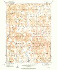
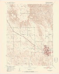 1951 Broken Bow1952 Print · USGSBroken Bow emerges as a mid-century rail and agricultural hub in this detailed survey of Custer County. Genealogists can trace family roots through numerous rural landmarks like East Table Sch, St Joseph Cem, and the Custer Center Ch.4 unique versions available
 - 1951 Map of Broken Bow SE, 1952 Print
 1951 Broken Bow SE1952 Print · USGSCuster County's agricultural heartland is documented here in the early fifties, centered on the village of Berwyn. Genealogists and historians can trace the distribution of rural education through sites like O K School and Happy Hollow Sch along the railroad line.3 unique versions available
 - 1951 Map of Ansley NE, 1952 Print
 1951 Ansley NE1952 Print · USGSCuster County, Nebraska, is documented here in the early fifties as a landscape of rural school districts and family cemeteries. Researchers can locate specific sites such as Swanson Cem, Mt Custer Sch, and the winding Clear Creek.3 unique versions available
 - 1951 Map of Merna, 1952 Print
 1951 Merna1952 Print · USGSMid-century Custer County centers on the rail hub of Merna as the agricultural landscape transitions into deep canyons. Genealogists can trace family footprints through a dense network of rural schoolhouses like Sunny Knoll Sch and Turner Valley Sch.3 unique versions available
 - 1951 Map of Anselmo SW, 1952 Print
 1951 Anselmo SW1952 Print · USGSCuster County in the early 1950s reveals a quiet landscape of rural school districts and family landmarks. Genealogists can locate community anchors like Ortello Chapel, Ortello Cem, and local schoolhouses such as Delmont Sch.2 unique versions available
 - 1951 Map of Walworth, 1953 Print
 1951 Walworth1953 Print · USGSCuster County ranching country is documented here in the early fifties, centered on the Middle Loup River valley. Genealogists and historians can locate a high density of rural schoolhouses and cemeteries, such as Red Star Sch, Oxford Sch, and the Walworth Cem.3 unique versions available
 - 1951 Map of Eddyville NE, 1953 Print
 1951 Eddyville NE1953 Print · USGSCuster County's agricultural heartland is documented here in the early fifties, showing the high density of rural schoolhouses and river settlements. Genealogists and historians can locate family landmarks like New Hope Sch, Burr Oak Ch, and the small community of Buckeye.3 unique versions available
 - 1951 Map of Callaway SE, 1953 Print
 1951 Callaway SE1953 Print · USGSThe south-central Nebraska plains are documented here in the early fifties, showing a landscape defined by the winding South Loup River. Researchers can trace the placement of numerous rural schoolhouses including Ryno Sch, Maier Sch, and Center Sch.2 unique versions available
 - 1951 Map of Litchfield SW, 1953 Print
 1951 Litchfield SW1953 Print · USGSSherman County and its neighboring borderlands are shown here in the early fifties during the Missouri River Basin development program. Genealogists can locate old rural landmarks like Pleasant Valley Ch, Union Ridge Sch, and Brown Sch.2 unique versions available
 - 1951 Map of Callaway, 1953 Print
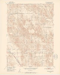
 1951 Callaway1953 Print · USGSCuster County life centered on the South Loup River valley in the early fifties, where the Union Pacific railroad connected farm to market. Genealogists can trace family footprints at Rose Hill Cem and identify old school districts like Cross Roads Sch or Triumph Sch.3 unique versions available
 - 1951 Map of Mason City SW, 1953 Print
 1951 Mason City SW1953 Print · USGSCentral Nebraska's ranching and farming landscape is frozen in time during the early 1950s as three counties meet along the river. Genealogists can locate family-named landmarks and rural hubs like Cumro, the Box Elder Cem, and Milton Store.3 unique versions available
 - 1951 Map of Anselmo NE, 1953 Print
 1951 Anselmo NE1953 Print · USGSCuster and Blaine Counties come together along the Middle Loup River in this early 1950s survey. Genealogists and local historians can locate rural landmarks like Victoria Springs Cemetery and several country schools, including Happy Hollow Sch and Cooperville Sch.3 unique versions available
 - 1951 Map of Oconto SW, 1953 Print
 1951 Oconto SW1953 Print · USGSCuster and Dawson County farmsteads are captured here in the early fifties, showing a rural Nebraska landscape before school consolidation. Genealogists can locate family sites near Pleasant Valley Ch or trace students at Sunny Hill Sch and Lemmery Sch.3 unique versions available
 - 1951 Map of Round Valley, 1953 Print
 1951 Round Valley1953 Print · USGSCuster County land patterns and rural communities are preserved here as they stood in the early fifties. Genealogists and local historians can locate the Round Valley Cem and early educational sites like Sargent Valley Sch and Swiss Valley Sch.3 unique versions available
 - 1951 Map of Arcadia West, 1953 Print
 1951 Arcadia West1953 Print · USGSThe Middle Loup River valley in the early fifties shows a landscape defined by rail, irrigation, and dozens of rural schoolhouses. Trace the path of the Chicago Burlington and Quincy railroad past Arcadia, Sacred Heart Cem, and Knight Sch.3 unique versions available
Showing maps 1-25 of 300
Top cities of Custer County
- Broken Bow historical maps
- Arnold historical maps
- Callaway historical maps
- Sargent historical maps
- Ansley historical maps
- Merna historical maps
See more
Frequently asked questions
- What are the different types of historical maps available for Custer County?
- What is the oldest map of Custer County?
- Where can I purchase historical maps of Custer County for my home or office?
- Where can I download high-res historical maps of Custer County?
- Are there historical topographic maps available for Custer County?
- Is there historical aerial imagery available for Custer County?
- Where are historical maps of Custer County sourced from?