
1951 Map of Broken Bow NE
USGS Topo · Published 1952About this map
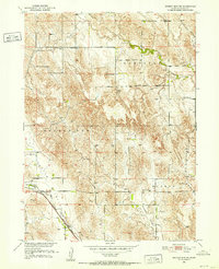
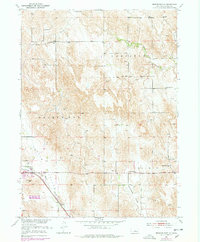
Mud Creek and the Chicago Burlington and Quincy railroad line define the southwestern corridor of this Custer County landscape. At the start of the 1950s, the rural character of the area is evidenced by a dense network of country schools serving the local valleys, including Snake Run Sch, Senate Valley Sch, and Rose Valley Sch. The map reveals a highly structured agricultural society where landmarks like the Broken Bow Fairground and scattered Windmill sites are as significant to the local geography as the terrain itself.
Find a feature on this map
19 named features on this map. Tap any name to fly to it.
Don’t see what you’re looking for? This feature index may not catch every label — zoom into the map to look around manually.
Map Details
Editions of this 1951 Broken Bow NE Map
3 editions found
Other maps of this area

1951 · Westerville
USGS Topo · 1:24,000

1951 · Broken Bow SW
USGS Topo · 1:24,000

1951 · Lillian
USGS Topo · 1:24,000

1951 · Ansley
USGS Topo · 1:24,000

1951 · Broken Bow
USGS Topo · 1:24,000

1951 · Broken Bow SE
USGS Topo · 1:24,000

1951 · Round Valley
USGS Topo · 1:24,000

1952 · Sargent SW
USGS Topo · 1:24,000

1955 · Broken Bow
USGS Topo · 1:250,000

1956 · Broken Bow
USGS Topo · 1:250,000