
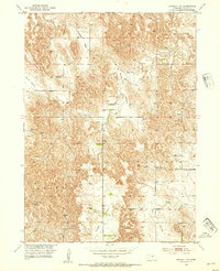
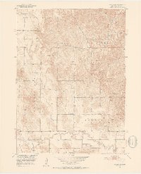
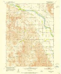
1952 Map of Sargent SW
USGS Topo · Published 1954About this map
Antelope Valley and Somerford Valley carve through this section of the Nebraska Sandhills, defining a landscape of high plateaus and creek-fed depressions. The Missouri River Basin development program spurred this early 1950s survey, which documents a rural school system in the midst of consolidation. Local education is anchored by Somerford Sch, Coburg Sch, and Elton Sch, while the already Antelope Sch (Abandoned) in the northwest corner signals a shifting population. The map reveals the critical importance of water access in Custer County, marked by numerous Windmill sites across the tablelands. Distinctive geographical features like Boggs Table and the drainage of Wagner Creek illustrate the challenging terrain faced by early settlers in Sargent, Douglas Grove, and Lillian townships.
Find a feature on this map
20 named features on this map. Tap any name to fly to it.
Don’t see what you’re looking for? This feature index may not catch every label — zoom into the map to look around manually.
Map Details
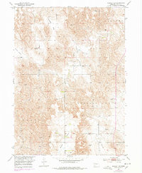
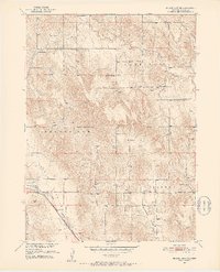
Editions of this 1952 Sargent SW Map
3 editions found
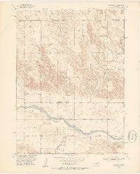
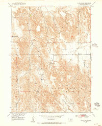
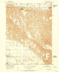
Other maps of this area
1951 · Broken Bow NE
USGS Topo · 1:24,000
1951 · Westerville
USGS Topo · 1:24,000
1951 · Ansley NE
USGS Topo · 1:24,000
1951 · Walworth
USGS Topo · 1:24,000
1951 · Round Valley
USGS Topo · 1:24,000
1952 · Sargent East
USGS Topo · 1:24,000
1952 · Sargent SE
USGS Topo · 1:24,000
1952 · Sargent West
USGS Topo · 1:24,000

1955 · Broken Bow
USGS Topo · 1:250,000

1956 · Broken Bow
USGS Topo · 1:250,000