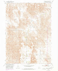
1952 Map of Sargent SW
USGS Topo · Published 1978About this map
Antelope Valley and Somerford Valley carve through the Custer County landscape, illustrating a classic Nebraska pattern of upland farming and creek-bottom drainage. This 1952 field check, updated in the 1970s, documents the transition of local rural infrastructure, specifically noting the Antelope Sch as a site of former community gathering. The terrain is divided into prominent grazing and agricultural blocks like Lillian, Sargent, and Garfield, showing the systematic township and range organization of the Missouri River Basin. Genealogists and local historians will find the Somerford Cem and family-named landmarks like Boggs Table particularly useful for pinpointing ancestral land use and early settlement patterns along Wagner Creek and the surrounding draws.
Find a feature on this map
13 named features on this map. Tap any name to fly to it.
Don’t see what you’re looking for? This feature index may not catch every label — zoom into the map to look around manually.
Map Details
Editions of this 1952 Sargent SW Map
3 editions found
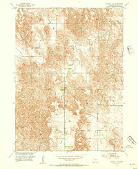
Other maps of this area

1951 · Broken Bow NE
USGS Topo · 1:24,000

1951 · Westerville
USGS Topo · 1:24,000

1951 · Ansley NE
USGS Topo · 1:24,000

1951 · Walworth
USGS Topo · 1:24,000

1951 · Round Valley
USGS Topo · 1:24,000

1952 · Sargent East
USGS Topo · 1:24,000

1952 · Sargent SE
USGS Topo · 1:24,000

1952 · Sargent West
USGS Topo · 1:24,000

1952 · Sargent SW
USGS Topo · 1:24,000

1955 · Broken Bow
USGS Topo · 1:250,000