
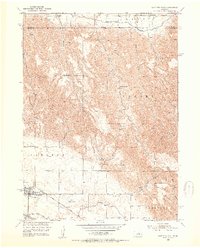
1952 Map of Sargent East
USGS Topo · Published 1954About this map
Sargent stands as a primary hub of activity in this 1950s depiction of the Missouri River Basin development area, where the Chicago Burlington and Quincy railroad line meets the edge of town. The landscape transition is marked by the Middle Loup River and an intricate network of irrigation infrastructure, including the Bank Canal No 2 and Sargent Canal. These waterways were central to the agricultural productivity of the region, supporting the surrounding townships of Taylor, Kent, Corner, Sargent, and Comstock.
Find a feature on this map
25 named features on this map. Tap any name to fly to it.
Don’t see what you’re looking for? This feature index may not catch every label — zoom into the map to look around manually.
Map Details
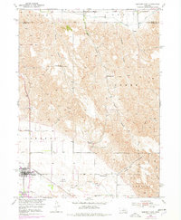
Editions of this 1952 Sargent East Map
3 editions found
Other maps of this area

1952 · Burwell
USGS Topo · 1:24,000

1952 · Sargent SE
USGS Topo · 1:24,000

1952 · Sargent West
USGS Topo · 1:24,000

1952 · Comstock
USGS Topo · 1:24,000

1952 · Taylor SE
USGS Topo · 1:24,000

1952 · Sargent SW
USGS Topo · 1:24,000

1952 · Comstock NW
USGS Topo · 1:24,000

1952 · Taylor
USGS Topo · 1:24,000

1955 · Broken Bow
USGS Topo · 1:250,000

1956 · Broken Bow
USGS Topo · 1:250,000