
1952 Map of Comstock
USGS Topo · Published 1954About this map
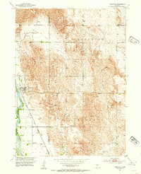
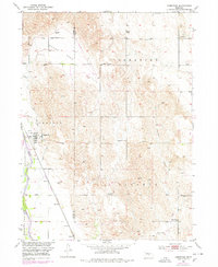
The Middle Loup River shapes the western edge of this Custer County landscape, where the Burlington and Quincy railroad line tracks parallel to the water through the village of Comstock. This 1952 field check documents a rural community in transition, noting several educational sites including Pleasant View Sch, Round Park Sch, and School No 19, while already marking Lone Star Sch (Abandoned) and School No 110 (Abandoned) as out of use.
Find a feature on this map
19 named features on this map. Tap any name to fly to it.
Don’t see what you’re looking for? This feature index may not catch every label — zoom into the map to look around manually.
Map Details
Editions of this 1952 Comstock Map
3 editions found
Other maps of this area

1951 · Ansley NE
USGS Topo · 1:24,000

1951 · Arcadia West
USGS Topo · 1:24,000

1951 · Arcadia East
USGS Topo · 1:24,000

1952 · Sargent East
USGS Topo · 1:24,000

1952 · Elyria
USGS Topo · 1:24,000

1952 · Sargent SE
USGS Topo · 1:24,000

1952 · Comstock NW
USGS Topo · 1:24,000

1952 · Comstock SE
USGS Topo · 1:24,000

1955 · Broken Bow
USGS Topo · 1:250,000

1956 · Broken Bow
USGS Topo · 1:250,000