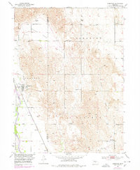
1952 Map of Comstock
USGS Topo · Published 1978About this map
The Middle Loup River winds through the southwestern corner of this survey, defining the agricultural landscape near Comstock. The town serves as a local hub along the Burlington Northern railroad, surrounded by a network of rural townships including Geranium and Liberty. This mid-century record highlights the distributed social fabric of central Nebraska, where landmarks like the Community Hall and Geranium Ch anchored the community.
Find a feature on this map
24 named features on this map. Tap any name to fly to it.
Don’t see what you’re looking for? This feature index may not catch every label — zoom into the map to look around manually.
Map Details
Editions of this 1952 Comstock Map
3 editions found
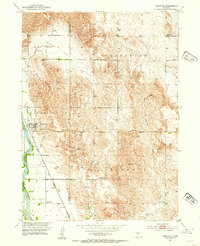
Other maps of this area

1951 · Ansley NE
USGS Topo · 1:24,000

1951 · Arcadia West
USGS Topo · 1:24,000

1951 · Arcadia East
USGS Topo · 1:24,000

1952 · Sargent East
USGS Topo · 1:24,000

1952 · Elyria
USGS Topo · 1:24,000

1952 · Sargent SE
USGS Topo · 1:24,000

1952 · Comstock
USGS Topo · 1:24,000

1952 · Comstock NW
USGS Topo · 1:24,000

1952 · Comstock SE
USGS Topo · 1:24,000

1955 · Broken Bow
USGS Topo · 1:250,000