
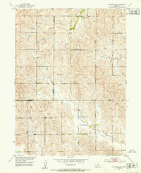
1951 Map of Litchfield SW
USGS Topo · Published 1953About this map
Pleasant Valley and the surrounding rural uplands of the Missouri River Basin are captured here just after mid-century, revealing a landscape defined by its network of local country schools. The topographic detail follows the drainage of Oak Creek, Dry Creek, and Spring Branch, where the terrain transitions across the borders of Sherman, Custer, and Buffalo counties.
Find a feature on this map
20 named features on this map. Tap any name to fly to it.
Don’t see what you’re looking for? This feature index may not catch every label — zoom into the map to look around manually.
Map Details
Editions of this 1951 Litchfield SW Map
2 editions found
Other maps of this area

1896 · Kearney
USGS Topo · 1:125,000

1951 · Litchfield NE
USGS Topo · 1:24,000

1951 · Hazard
USGS Topo · 1:24,000

1951 · Mason City
USGS Topo · 1:24,000

1951 · Mason City SE
USGS Topo · 1:24,000

1951 · Litchfield
USGS Topo · 1:24,000

1955 · Broken Bow
USGS Topo · 1:250,000

1955 · Grand Island
USGS Topo · 1:250,000

1956 · Broken Bow
USGS Topo · 1:250,000

1957 · Grand Island
USGS Topo · 1:250,000