
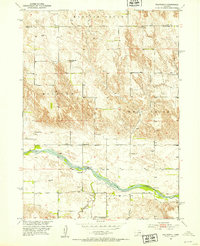
1951 Map of Walworth
USGS Topo · Published 1953About this map
The Middle Loup River winds through the central valley of this Custer County landscape, providing the primary geographical anchor for a network of mid-century rural school districts and small settlements. The small community of Walworth is situated just north of the river, supported by local infrastructure including the Walworth Sch and the nearby Walworth Cem. The surrounding tablelands are partitioned into distinct surveyor divisions such as Madison Square, Milburn, and West Union.
Find a feature on this map
19 named features on this map. Tap any name to fly to it.
Don’t see what you’re looking for? This feature index may not catch every label — zoom into the map to look around manually.
Map Details
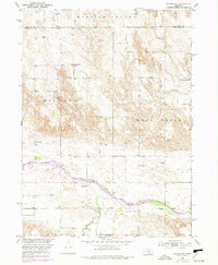
Editions of this 1951 Walworth Map
3 editions found
Other maps of this area

1951 · Lillian
USGS Topo · 1:24,000

1951 · Round Valley
USGS Topo · 1:24,000

1951 · Milburn
USGS Topo · 1:24,000

1952 · Sargent West
USGS Topo · 1:24,000

1952 · Almeria SW
USGS Topo · 1:24,000

1952 · Sargent SW
USGS Topo · 1:24,000

1952 · Almeria
USGS Topo · 1:24,000

1952 · Taylor
USGS Topo · 1:24,000

1955 · Broken Bow
USGS Topo · 1:250,000

1956 · Broken Bow
USGS Topo · 1:250,000