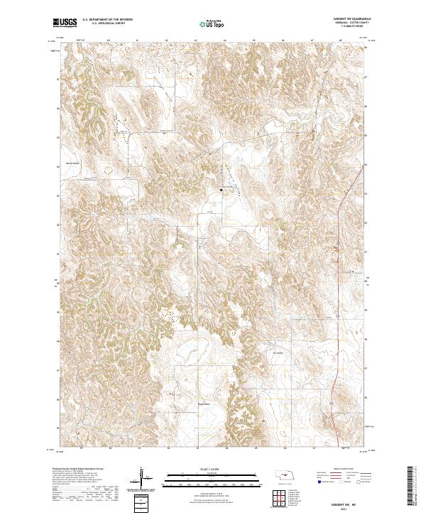
2021 Map of Sargent SW
USGS Topo · Published 2021About this map
Somerford Cem serves as a quiet landmark within the rolling landscape of Custer County, situated near the head of Somerford Valley. This rural Nebraska terrain is defined by a series of distinct geographic features, including the broad plateau of Boggs Table to the south and the winding corridors of Antelope Valley and Round Valley to the north. These named valleys represent a classic central Nebraska landform pattern where drainage and settlement align with the natural contours of the Loess Hills.
Find a feature on this map
20 named features on this map. Tap any name to fly to it.
Don’t see what you’re looking for? This feature index may not catch every label — zoom into the map to look around manually.
Map Details
Editions of this 2021 Sargent SW Map
This is the sole edition of this map. No revisions or reprints were ever made.
Other maps of this area

1951 · Broken Bow NE
USGS Topo · 1:24,000

1951 · Westerville
USGS Topo · 1:24,000

1951 · Ansley NE
USGS Topo · 1:24,000

1951 · Walworth
USGS Topo · 1:24,000

1951 · Round Valley
USGS Topo · 1:24,000

1952 · Sargent East
USGS Topo · 1:24,000

1952 · Sargent SE
USGS Topo · 1:24,000

1952 · Sargent West
USGS Topo · 1:24,000

1952 · Sargent SW
USGS Topo · 1:24,000

1955 · Broken Bow
USGS Topo · 1:250,000