Old Maps of Sargent, Nebraska for Genealogy
Trace your family roots with 14 historic maps of Sargent. These high-res maps reveal old neighborhoods, homesites, landmarks, and streets — helping you uncover where your ancestors lived and how the area evolved over time.
- Explore historic neighborhoods: Identify where your relatives may have lived in the 1800s or 1900s.
- Compare maps over time: Trace the changes in streets, buildings, and landmarks for multi-generational research.
- Perfect for genealogy & ancestry research: Used by family historians and researchers to map out lineage and migration.
These maps are an incredible resource for exploring your personal connection to Sargent's past.
Sargent, NE maps
(14)- 1952 Map of Sargent East, 1954 Print
 1952 Sargent East1954 Print · USGSCuster County agriculture and irrigation infrastructure are on full display in the early fifties, centered on the community of Sargent. Family historians can trace local schoolhouses like North Star Sch and Phillipsburg Sch or the rail path of the Chicago Burlington and Quincy.3 unique versions available
 - 1952 Map of Sargent West, 1954 Print
 1952 Sargent West1954 Print · USGSCuster County life in the early fifties was centered on the river valley and a network of rural school districts. Genealogists can trace family footprints through sites like West Union Cem, Zion Hill Sch, and the township of Madison Square.4 unique versions available
 - 1955 Map of Broken Bow
 1955 Broken Bow1955 Print · USGSCentral Nebraska in the mid-fifties is defined by the sweeping Sand Hills and the vital river valleys that supported its ranching and rail towns. Researchers can trace the rail corridors of the Union Pacific RR and locate settlements like Dannebrog, Broken Bow, and Brewster.5 unique versions available
 - 1956 Map of Broken Bow
 1956 Broken Bow1956 Print · USGSCentral Nebraska during the mid-fifties reveals a region defined by its river-valley railroads and the rolling Sand Hills. Genealogists and local historians can trace the paths of the Chicago Burlington and Quincy through towns like Broken Bow, Merna, and Anselmo.
 - 1985 Map of Burwell
 1985 Burwell1985 Print · USGSCentral Nebraska in the mid-eighties reveals a landscape shaped by the Middle Loup River and the Burlington Northern rail line. Researchers can trace the layout of small towns like Sargent, Anselmo, and Burwell or locate New Helena and Victoria Springs State Recreation Area.
 - 1994 Map of Burwell
 1994 Burwell1994 Print · USGSThe Nebraska Sandhills region is captured here in the mid-nineties, showing a landscape shaped by the Loup River systems and vital irrigation networks. Researchers can trace the development of small towns like Burwell and Brewster or locate landmarks like the Milburn Diversion Dam.
 - 2011 Map of Sargent West, 2011 Print
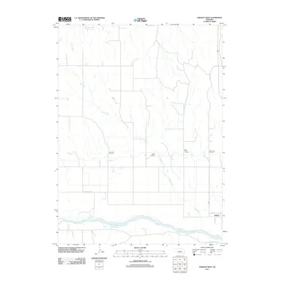 2011 Sargent West2011 Print · USGSCuster County in the early twenty-first century reveals a landscape shaped by the Middle Loup River and the settlement of Sargent. Family researchers can locate three distinct burial grounds: West Union Cemetery, Saint Marys Cemetery, and Mount Hope Cemetery.
 - 2011 Map of Sargent East, 2011 Print
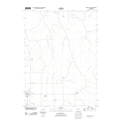 2011 Sargent East2011 Print · USGSSargent and its surrounding Custer County ranchlands are captured here at the start of the twenty-first century, showing a landscape shaped by the Middle Loup River. Local historians can trace specific landmarks like Kent Cemetery, School Number 36, and the winding Taylor-Ord Canal.
 - 2014 Map of Sargent East, 2014 Print
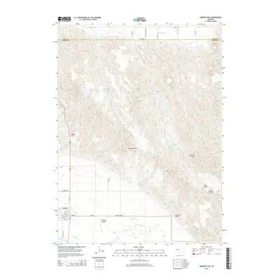 2014 Sargent East2014 Print · USGSSargent and the valley of the Middle Loup River are captured here in the early twenty-first century, showing the transition from town grid to canyon country. Researchers can trace irrigation networks like Taylor-Ord Canal or locate local landmarks including Kent Cem and Divide Hill.
 - 2014 Map of Sargent West, 2014 Print
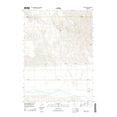 2014 Sargent West2014 Print · USGSCuster County in the early 21st century remains defined by the winding Middle Loup River and its rugged canyon breaks. Researchers can trace family history at rural burial sites like West Union Cem and Mt Hope Cem or explore the terrain of Chesbra Canyon.
 - 2017 Map of Sargent East, 2017 Print
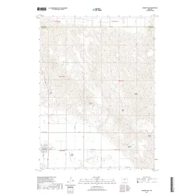 2017 Sargent East2017 Print · USGSNear the Custer and Loup county line in the 2010s, the town of Sargent serves as a hub for the surrounding river valley and canyon country. Genealogists and local historians can trace family roots at Kent Cem or study irrigation networks like the Taylor-Ord Canal.
 - 2017 Map of Sargent West, 2017 Print
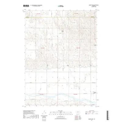 2017 Sargent West2017 Print · USGSCuster County settlement and the intricate canyonlands north of the Middle Loup River are documented here in the early twenty-first century. Genealogists can locate West Union Cem and Mount Hope Cem among the hills.
 - 2021 Map of Sargent East, 2021 Print
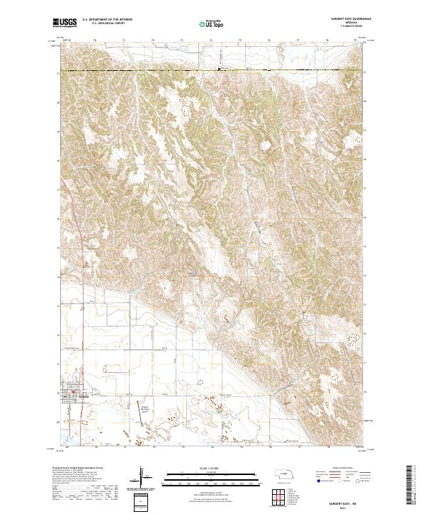 2021 Sargent East2021 Print · USGSSargent and its surrounding canyons are captured here in the early twenty-first century as the town grid meets the rolling Custer County ranchlands. Researchers can locate the Kent Cem, trace the route of the Taylor-Ord Canal, and explore local landmarks like Divide Hill and Bohys Canyon.
 - 2021 Map of Sargent West, 2021 Print
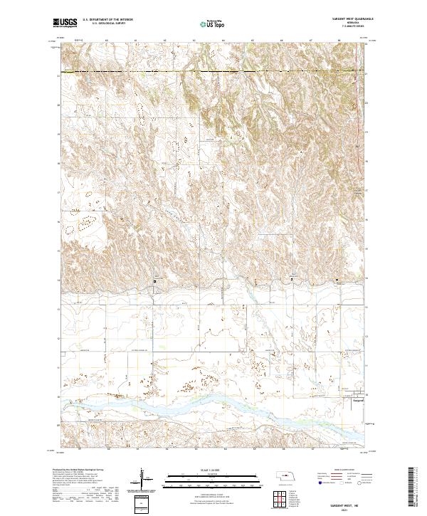 2021 Sargent West2021 Print · USGSCuster County's rural landscape comes into focus during this modern survey of the Loup River valley. Genealogists and local historians can trace burial sites like West Union Cem and Mount Hope Cem near the banks of the Middle Loup River.
End of results
Showing maps 1-14 of 14
Top cities near Sargent
Frequently asked questions
- What are the different types of historical maps available for Sargent?
- What is the oldest map of Sargent?
- Where can I purchase historical maps of Sargent for my home or office?
- Where can I download high-res historical maps of Sargent?
- Are there historical topographic maps available for Sargent?
- Is there historical aerial imagery available for Sargent?
- Where are historical maps of Sargent sourced from?