Old Maps of Darr, Nebraska for Metal Detecting
Plan your next treasure hunt with 11 historic maps of Darr. Find old homesites, ghost towns, trails, and gathering spots that may be lost to time — perfect for identifying promising metal detecting locations.
- Locate forgotten sites: Uncover places like long-lost settlements, abandoned rail lines, or gathering spots.
- Plan better hunts: Use map overlays combined with LiDAR or satellite views to narrow in on historically rich areas.
- Made for detectorists: Thousands of hobbyists use these maps to discover relics, coins, and hidden history.
Use these historic maps to boost your research and find new opportunities beneath the surface of Darr.
Darr, NE maps
(11)- 1896 Map of Lexington
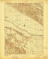 1896 Lexington1896 Print · USGSDawson and Gosper Counties in the mid-1890s are defined by the convergence of the Platte River and competing railroad lines. Genealogists can trace family settlements along the Union Pacific R. R. and the Burlington and Missouri River R. R., locating early sites like Elwood and Coyote.
 - 1899 Map of Lexington
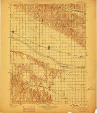 1899 Lexington1899 Print · USGSDawson and Gosper counties are captured during a period of rapid prairie development following the arrival of the transcontinental rails. Genealogists can trace the early grids of rail towns like Lexington and Bertrand or the spans of the Lexington Bridge.7 unique versions available
 - 1955 Map of Grand Island, 1967 Print
 1955 Grand Island1967 Print · USGSCentral Nebraska is seen here during a period of industrial and agricultural growth, centered on the vital Platte River corridor. Researchers can trace the mid-century footprints of the U S Naval Ammunition Depot and the Cornhusker Ordnance Plant.3 unique versions available
 - 1957 Map of Grand Island
 1957 Grand Island1957 Print · USGSCentral Nebraska and Northern Kansas are shown here during a period of massive hydraulic and military expansion in the mid-fifties. Researchers can trace the development of the Harlan County Reservoir and the massive wartime legacy of the Cornhusker Ordnance Plant.
 - 1958 Map of Grand Island
 1958 Grand Island1958 Print · USGSSouth-central Nebraska thrived as a rail and industrial hub during the late fifties, shaped by the braided Platte River. Genealogists and historians can trace rail lines like the Union Pacific RR through towns such as Kearney or locate the sprawling Cornhusker Ordnance Plant.
 - 1971 Map of Cozad, 1973 Print
 1971 Cozad1973 Print · USGSCozad and the Platte River valley are captured in the early 1970s, showing a landscape defined by irrigation and historic trails. Researchers can locate numerous numbered rural schools and trace the Emigrant Trail alongside the Cozad Canal.
 - 1985 Map of Kearney
 1985 Kearney1985 Print · USGSMid-1980s Nebraska life centers on the fertile Platte River valley during a period of significant agricultural and hydraulic development. Researchers can trace irrigation networks like the Phelps County Canal and find regional landmarks from Johnson Lake to the Union Pacific rail lines.2 unique versions available
 - 2011 Map of Cozad, 2011 Print
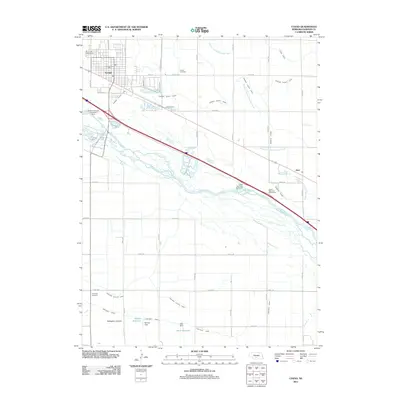 2011 Cozad2011 Print · USGSCovers Darr, including Cozad, Horizon Mobile Home Park, and other nearby areas
 - 2014 Map of Cozad, 2014 Print
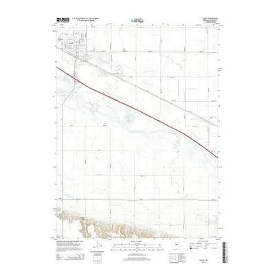 2014 Cozad2014 Print · USGSCovers Darr, including Cozad, Horizon Mobile Home Park, and other nearby areas
 - 2017 Map of Cozad, 2017 Print
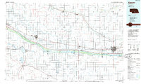
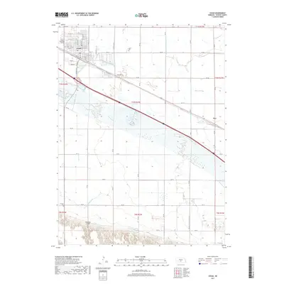 2017 Cozad2017 Print · USGSCovers Darr, including Cozad, Horizon Mobile Home Park, and other nearby areas
 - 2021 Map of Cozad, 2021 Print
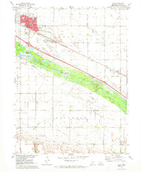
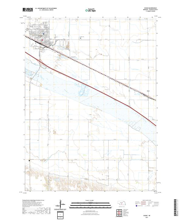 2021 Cozad2021 Print · USGSCozad and the surrounding Dawson County farmland are defined by a complex irrigation network in the early 2020s. Researchers can trace historic water rights and local genealogy through features like the Thirtymile Canal, Cozad Cem, and the small community of Darr.
End of results
Showing maps 1-11 of 11
Top cities near Darr
Frequently asked questions
- What are the different types of historical maps available for Darr?
- What is the oldest map of Darr?
- Where can I purchase historical maps of Darr for my home or office?
- Where can I download high-res historical maps of Darr?
- Are there historical topographic maps available for Darr?
- Is there historical aerial imagery available for Darr?
- Where are historical maps of Darr sourced from?