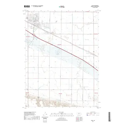
2017 Map of Cozad
USGS Topo · Published 2017About this map
Cozad and its surrounding agricultural landscape are defined by an intricate network of irrigation and water management systems. The Platte River bisects the area, flanked by essential waterways like the Cozad Canal, Darr Lateral, and the RD 425 Thirtymile Canal. These features illustrate the transformation of the Nebraska prairie into productive farmland through deliberate engineering. In the southern portion of the quadrangle, the terrain shifts from flat river bottom to the more varied topography of Gallagher Canyon, where the Wichelt Reservoir and Velte Reservoir provide critical water storage. The town of Cozad itself shows its development along the E Railroad St corridor, with local sites like the Cozad Cem and Cozad Municipal Airport anchoring the community. Further east, the small settlement of Darr sits along the rail line, serving as a secondary local node in this highly managed river valley.
Find a feature on this map
54 named features on this map. Tap any name to fly to it.
Don’t see what you’re looking for? This feature index may not catch every label — zoom into the map to look around manually.
Map Details
Editions of this 2017 Cozad Map
This is the sole edition of this map. No revisions or reprints were ever made.
Other maps of this area

1896 · Lexington
USGS Topo · 1:125,000

1899 · Lexington
USGS Topo · 1:125,000

1902 · Gothenburg
USGS Topo · 1:125,000

1954 · McCook
USGS Topo · 1:250,000

1955 · Grand Island
USGS Topo · 1:250,000

1957 · McCook
USGS Topo · 1:250,000

1957 · Grand Island
USGS Topo · 1:250,000

1958 · McCook
USGS Topo · 1:250,000

1958 · Grand Island
USGS Topo · 1:250,000

1962 · Lexington West
USGS Topo · 1:24,000