Old Maps of Inglewood, Nebraska for Metal Detecting
Plan your next treasure hunt with 17 historic maps of Inglewood. Find old homesites, ghost towns, trails, and gathering spots that may be lost to time — perfect for identifying promising metal detecting locations.
- Locate forgotten sites: Uncover places like long-lost settlements, abandoned rail lines, or gathering spots.
- Plan better hunts: Use map overlays combined with LiDAR or satellite views to narrow in on historically rich areas.
- Made for detectorists: Thousands of hobbyists use these maps to discover relics, coins, and hidden history.
Use these historic maps to boost your research and find new opportunities beneath the surface of Inglewood.
Inglewood, NE maps
(17)- 1893 Map of Fremont, 1960 Print
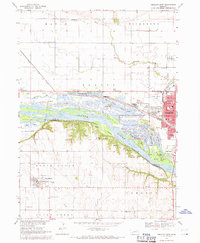
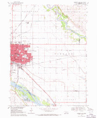
 1893 Fremont1960 Print · USGSEastern Nebraska was a nexus of river navigation and rail expansion in the 1890s as the prairie gave way to organized township grids. Genealogists and historians can trace early settlements and transportation corridors through Fort Calhoun, the growth of Fremont, and the junctions of the Union Pacific R.R..
 - 1896 Map of Fremont
 1896 Fremont1896 Print · USGSThe rail-driven growth of eastern Nebraska is captured here in the late nineteenth century as steam power connected the prairie. Researchers can trace ancestral roots through dozens of established settlements like Fontanelle, Gretna, and Papillion, or follow the historic routes of the Union Pacific R.R. and the Elkhorn River.5 unique versions available
 - 1899 Map of Wahoo
 1899 Wahoo1899 Print · USGSSaunders County and its neighbors thrive as a booming rail hub in the 1890s, where the Platte River meets a dense web of iron tracks. Trace the early development of prairie towns like Wahoo, Valparaiso, and the Bohemian settlement at Prague.3 unique versions available
 - 1955 Map of Fremont, 1966 Print
 1955 Fremont1966 Print · USGSEastern Nebraska and the Missouri River border are captured during the mid-fifties, just as the interstate system began to emerge. Researchers can trace the development of Omaha, locate the sprawling Offutt Air Force Base, or study the river-bound ecology of the De Soto National Wildlife Refuge.3 unique versions available
 - 1957 Map of Fremont
 1957 Fremont1957 Print · USGSEastern Nebraska and western Iowa thrive along the Platte and Missouri rivers during the mid-fifties. Genealogists can locate small rural schools like Fairview School and tracing the paths of the Union Pacific through towns like Albion and Humphrey.
 - 1958 Map of Fremont
 1958 Fremont1958 Print · USGSEastern Nebraska in the late fifties is captured here as a thriving corridor of river-valley commerce and rail transport. Researchers can trace the development of Omaha and Fremont or locate local landmarks like Midland College and Offutt Air Force Base.
 - 1968 Map of Fremont West, 1971 Print
 1968 Fremont West1971 Print · USGSMid-century Nebraska life unfolds along the Platte River during the late sixties, where recreation lakes and heavy rail lines meet. Genealogists can locate family burial sites at Pohocco Cem and Wiegand Cem or trace early school districts at Beebe Sch.2 unique versions available
 - 1968 Map of Fremont East, 1971 Print
 1968 Fremont East1971 Print · USGSThe rail and river networks of eastern Nebraska converged here in the late sixties, showing a period of significant civic and industrial growth. Researchers can trace family roots through numerous neighborhood landmarks like St Patricks Sch, Midland College, and Ruwe Park.3 unique versions available
 - 1982 Map of Fremont
 1982 Fremont1982 Print · USGSEastern Nebraska in the early eighties exhibits a landscape of industrious rail towns and river-fed agriculture. Genealogists and historians can trace the development of Fremont, locate the National Cem, and find landmarks like the Todd Valley.2 unique versions available
 - 2011 Map of Fremont West, 2011 Print
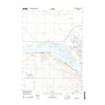
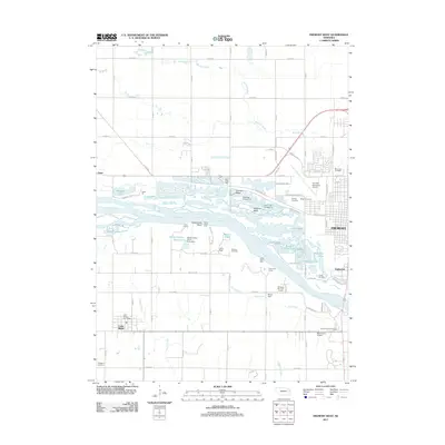 2011 Fremont West2011 Print · USGSCovers Inglewood, including Fremont, Midway Trailer Court, and other nearby areas
 - 2011 Map of Fremont East, 2011 Print
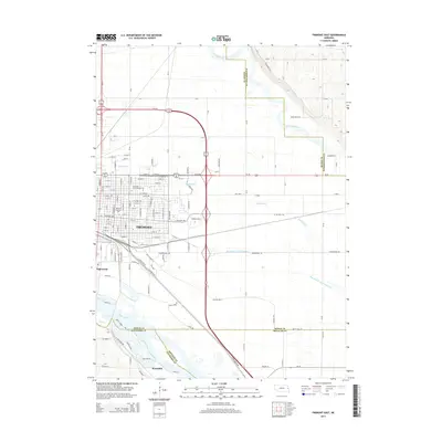
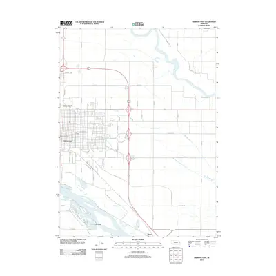 2011 Fremont East2011 Print · USGSCovers Inglewood, including Fremont, Woodcliff, and other nearby areas
 - 2014 Map of Fremont West, 2014 Print
 2014 Fremont West2014 Print · USGSCovers Inglewood, including Fremont, Midway Trailer Court, and other nearby areas
 - 2014 Map of Fremont East, 2014 Print
 2014 Fremont East2014 Print · USGSCovers Inglewood, including Fremont, Woodcliff, and other nearby areas
 - 2017 Map of Fremont West, 2017 Print
 2017 Fremont West2017 Print · USGSCovers Inglewood, including Fremont, Midway Trailer Court, and other nearby areas
 - 2017 Map of Fremont East, 2017 Print
 2017 Fremont East2017 Print · USGSCovers Inglewood, including Fremont, Woodcliff, and other nearby areas
 - 2021 Map of Fremont West, 2021 Print
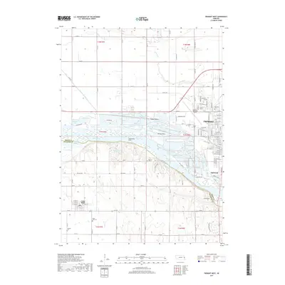
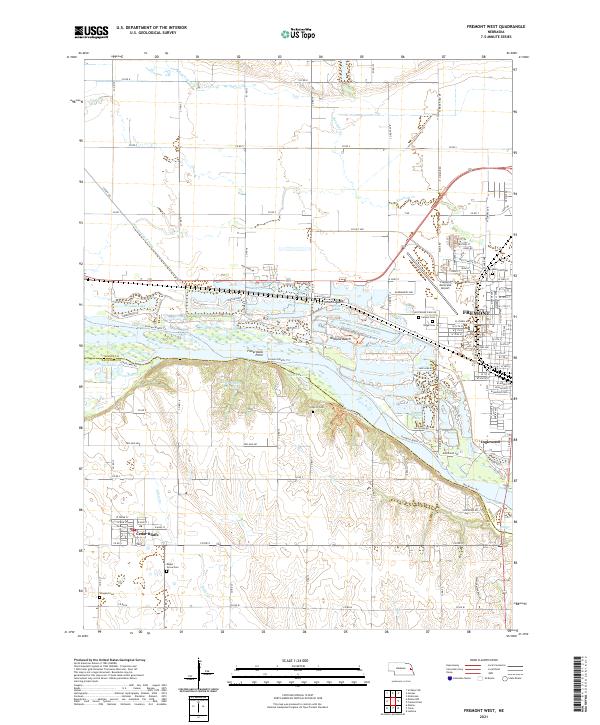 2021 Fremont West2021 Print · USGSThe Platte River valley near Fremont and Cedar Bluffs comes to life in this recent survey. Genealogists can trace family burial sites at Calvary Cem and Wiegand Cem, or explore riverside developments like Bricks Bay.
 - 2021 Map of Fremont East, 2021 Print
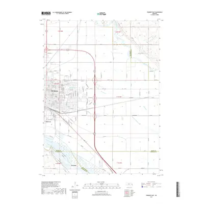
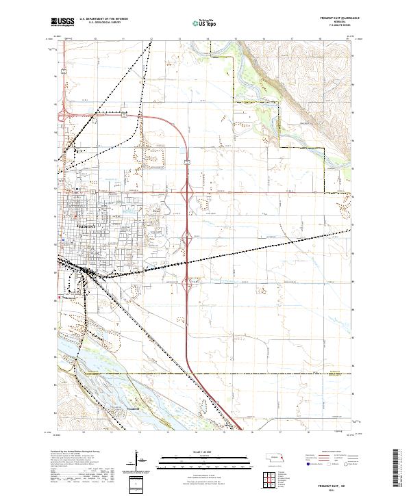 2021 Fremont East2021 Print · USGSFremont and the surrounding river bottoms are captured here in the early 2020s, showcasing the intersection of Nebraska's rail and water networks. Genealogists and local historians can trace the development of Fremont and Woodcliff, or locate landmarks like the Dodge County Courthouse and Midland College.
End of results
Showing maps 1-17 of 17
Top cities near Inglewood
- Fremont historical maps
- Wahoo historical maps
- Valley historical maps
- Yutan historical maps
- Arlington historical maps
- Hooper historical maps
See more
Frequently asked questions
- What are the different types of historical maps available for Inglewood?
- What is the oldest map of Inglewood?
- Where can I purchase historical maps of Inglewood for my home or office?
- Where can I download high-res historical maps of Inglewood?
- Are there historical topographic maps available for Inglewood?
- Is there historical aerial imagery available for Inglewood?
- Where are historical maps of Inglewood sourced from?