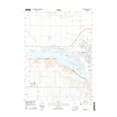
2014 Map of Fremont West
USGS Topo · Published 2014About this map
The Platte River forms a wide, braided divide between Dodge and Saunders counties, defining the geography of this 2014 survey. To the north, the expanding street grid of Fremont and the small enclave of Inglewood sit adjacent to the Fremont Municipal Airport. This area is characterized by an extensive system of sandpit lakes and recreational water bodies along the riverbanks, including Fremont Lake, Victory Lake, and Rainbow Lake.
Find a feature on this map
83 named features on this map. Tap any name to fly to it.
Don’t see what you’re looking for? This feature index may not catch every label — zoom into the map to look around manually.
Map Details
Editions of this 2014 Fremont West Map
This is the sole edition of this map. No revisions or reprints were ever made.
Other maps of this area

1893 · Fremont
USGS Topo · 1:125,000

1896 · Fremont
USGS Topo · 1:125,000

1899 · Wahoo
USGS Topo · 1:125,000

1955 · Fremont
USGS Topo · 1:250,000

1957 · Fremont
USGS Topo · 1:250,000

1958 · Fremont
USGS Topo · 1:250,000

1966 · Scribner SW
USGS Topo · 1:24,000

1966 · Nickerson
USGS Topo · 1:24,000

1966 · Hooper
USGS Topo · 1:24,000

1968 · Leshara
USGS Topo · 1:24,000