2000s (21st Century) Maps of McArdle Precinct, Nebraska
Explore 12 historic maps of McArdle Precinct from the 2000s (21st Century). These maps offer a rare glimpse into what life looked like during the 2000s — showing old roads, neighborhoods, homes, and landmarks that have changed or disappeared over time.
Whether you're researching your family's past, planning a metal detecting trip, or studying how McArdle Precinct's landscape evolved across the 2000s, these high-resolution maps are a powerful tool for exploring the history of this region.
- Focus on a specific era: All maps on this page are from the 2000s, giving you a focused view of this time period.
- See what’s changed: Compare century-old streets, trails, and buildings to today's modern landscape using overlays and satellite layers.
- Research with precision: Use these maps for genealogy, historical research, land use analysis, or educational projects.
- View, download, or print: Maps are fully viewable online in high resolution, and can be downloaded or printed for your own records.
Start exploring McArdle Precinct's history through authentic maps from the 2000s. This is your window into the past.
McArdle Precinct, NE maps
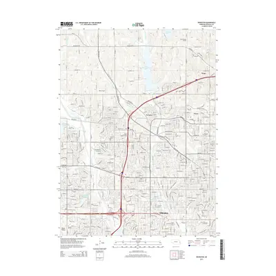
(12)- 2011 Map of Gretna, 2011 Print
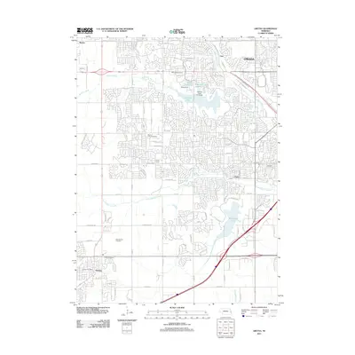 2011 Gretna2011 Print · USGSCovers McArdle Precinct, including Omaha, Papillion, and other nearby areas
 - 2011 Map of Elkhorn, 2011 Print
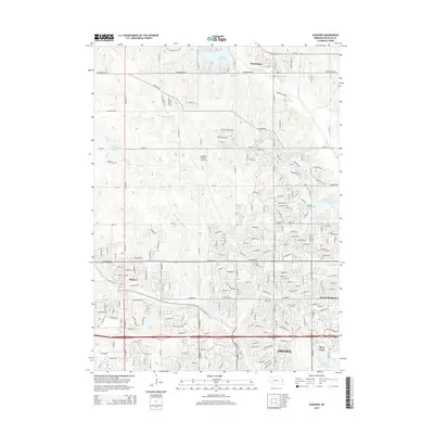
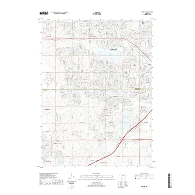
 2011 Elkhorn2011 Print · USGSCovers McArdle Precinct, including Omaha, Bennington, and other nearby areas
 - 2011 Map of Irvington, 2011 Print
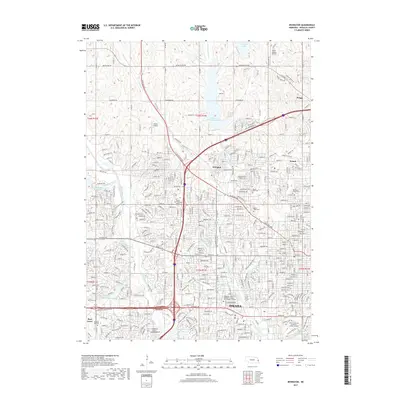
 2011 Irvington2011 Print · USGSCovers McArdle Precinct, including Omaha, Briggs, and other nearby areas
 - 2014 Map of Gretna, 2014 Print
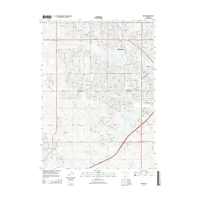 2014 Gretna2014 Print · USGSCovers McArdle Precinct, including Omaha, Papillion, and other nearby areas
 - 2014 Map of Irvington, 2014 Print
 2014 Irvington2014 Print · USGSCovers McArdle Precinct, including Omaha, Briggs, and other nearby areas
 - 2015 Map of Elkhorn, 2015 Print
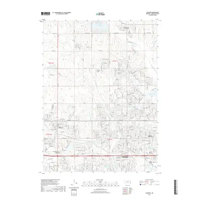
 2015 Elkhorn2015 Print · USGSCovers McArdle Precinct, including Omaha, Bennington, and other nearby areas
 - 2017 Map of Elkhorn, 2017 Print
 2017 Elkhorn2017 Print · USGSCovers McArdle Precinct, including Omaha, Bennington, and other nearby areas
 - 2017 Map of Irvington, 2017 Print
 2017 Irvington2017 Print · USGSCovers McArdle Precinct, including Omaha, Briggs, and other nearby areas
 - 2017 Map of Gretna, 2017 Print
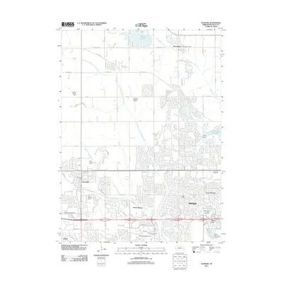
 2017 Gretna2017 Print · USGSCovers McArdle Precinct, including Omaha, Papillion, and other nearby areas
 - 2021 Map of Elkhorn, 2021 Print
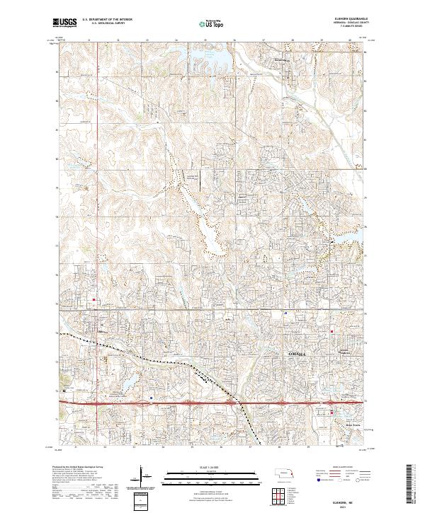 2021 Elkhorn2021 Print · USGSDouglas County's western expansion is clearly visible in this recent study of Bennington and Elkhorn near OMAHA. Researchers can trace the development of Boys Town and locate local landmarks like Flower Hill Cem or Mount Calvary Cem.
 - 2021 Map of Irvington, 2021 Print
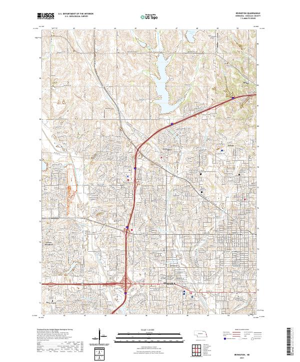 2021 Irvington2021 Print · USGSNorthwest Omaha and its suburban fringes are shown in detail during a period of significant residential and commercial maturity. Genealogists and local historians can trace the grounds of Boys Town, find historic burials at Springwell Danish Cem, and locate the former sites of Irvington and Briggs.
 - 2021 Map of Gretna, 2021 Print
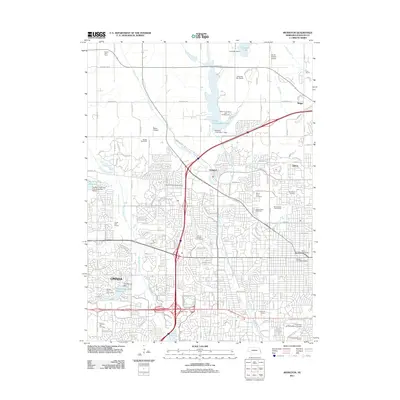
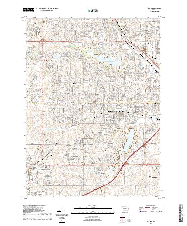 2021 Gretna2021 Print · USGSGreater Omaha and its western neighbors are captured in this recent survey as suburban growth moves across the Sarpy and Douglas county lines. Researchers can trace the layout of Gretna, Chalco, and Boys Town alongside local landmarks like Pennsylvania Cem.
End of results
Showing maps 1-12 of 12
Top cities near McArdle Precinct
- Omaha historical maps
- Bellevue historical maps
- Papillion historical maps
- La Vista historical maps
- Ralston historical maps
- Gretna historical maps
See more
Frequently asked questions
- What are the different types of historical maps available for McArdle Precinct?
- What is the oldest map of McArdle Precinct?
- Where can I purchase historical maps of McArdle Precinct for my home or office?
- Where can I download high-res historical maps of McArdle Precinct?
- Are there historical topographic maps available for McArdle Precinct?
- Is there historical aerial imagery available for McArdle Precinct?
- Where are historical maps of McArdle Precinct sourced from?