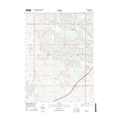
2014 Map of Gretna
USGS Topo · Published 2014About this map
Omaha expansion and the suburban landscape of eastern Nebraska are documented in this detailed study of the Douglas and Sarpy county line. The terrain is defined by the managed waters of Zorinsky Lake and Wehrspann Lake, which serve as focal points for residential development in communities like Gretna and Millard. Traces of the region's earlier agricultural identity remain visible through several small burial grounds, including Mt Auburn Cem and the Pennsylvania Cem.
Find a feature on this map
28 named features on this map. Tap any name to fly to it.
Don’t see what you’re looking for? This feature index may not catch every label — zoom into the map to look around manually.
Map Details
Editions of this 2014 Gretna Map
This is the sole edition of this map. No revisions or reprints were ever made.
Other maps of this area

1893 · Fremont
USGS Topo · 1:125,000

1896 · Fremont
USGS Topo · 1:125,000

1955 · Fremont
USGS Topo · 1:250,000

1956 · Gretna
USGS Topo · 1:24,000

1956 · Cedar Creek
USGS Topo · 1:24,000

1956 · Ralston
USGS Topo · 1:24,000

1956 · Springfield
USGS Topo · 1:24,000

1956 · Irvington
USGS Topo · 1:24,000

1957 · Fremont
USGS Topo · 1:250,000

1958 · Fremont
USGS Topo · 1:250,000