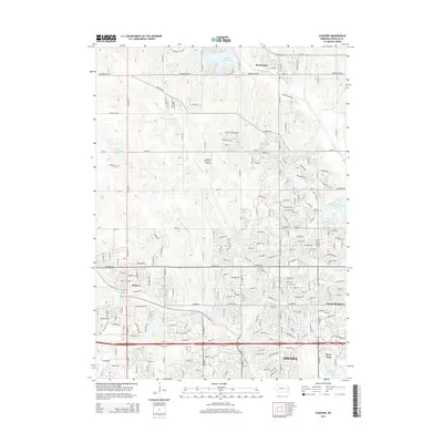
2015 Map of Elkhorn
USGS Topo · Published 2015About this map
The suburban expansion of Omaha defines the character of this western Douglas County landscape, where modern residential developments like Green Meadows and Elkhorn meet the area's historic agricultural and institutional roots. The famous village of Boys Town is a prominent fixture in the southeast, accompanied by specialized water management sites such as Boys Town Reservoir Number 1 and Boys Town Reservoir Number 3. The terrain is shaped by the complex drainage of Big Papillion Cr and its various branches, which are now punctuated by major recreational and residential water bodies including Standing Bear Reservoir and Newport Landing Lake.
Find a feature on this map
35 named features on this map. Tap any name to fly to it.
Don’t see what you’re looking for? This feature index may not catch every label — zoom into the map to look around manually.
Map Details
Editions of this 2015 Elkhorn Map
This is the sole edition of this map. No revisions or reprints were ever made.
Other maps of this area

1893 · Fremont
USGS Topo · 1:125,000

1896 · Fremont
USGS Topo · 1:125,000

1955 · Fremont
USGS Topo · 1:250,000

1956 · Gretna
USGS Topo · 1:24,000

1956 · Ralston
USGS Topo · 1:24,000

1956 · Irvington
USGS Topo · 1:24,000

1957 · Fremont
USGS Topo · 1:250,000

1958 · Fremont
USGS Topo · 1:250,000

1968 · Valley
USGS Topo · 1:24,000

1968 · Kennard
USGS Topo · 1:24,000