2020s Maps of Frontier County, Nebraska
Explore 31 historic maps of Frontier County from the 2020s. These maps offer a rare glimpse into what life looked like during the 2020s — showing old roads, neighborhoods, homes, and landmarks that have changed or disappeared over time.
Whether you're researching your family's past, planning a metal detecting trip, or studying how Frontier County's landscape evolved across the 2020s, these high-resolution maps are a powerful tool for exploring the history of this region.
- Focus on a specific era: All maps on this page are from the 2020s, giving you a focused view of this time period.
- See what’s changed: Compare century-old streets, trails, and buildings to today's modern landscape using overlays and satellite layers.
- Research with precision: Use these maps for genealogy, historical research, land use analysis, or educational projects.
- View, download, or print: Maps are fully viewable online in high resolution, and can be downloaded or printed for your own records.
Start exploring Frontier County's history through authentic maps from the 2020s. This is your window into the past.
Frontier County, NE maps
(31)- 2021 Map of Bartley NW, 2021 Print
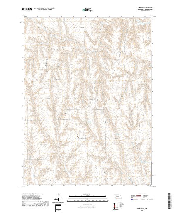 2021 Bartley NW2021 Print · USGSThe northern reaches of Frontier County are revealed in this contemporary survey of Nebraska's rolling canyonlands and prairie. Genealogists and historians can locate the Saint Thomas Cem and trace the complex water management systems of Sughroue Reservoir and Cedar Cr.
 - 2021 Map of Cambridge NE, 2021 Print
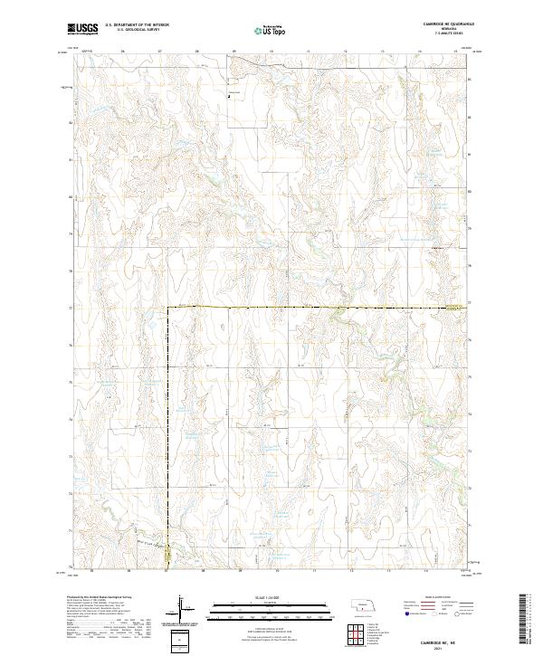 2021 Cambridge NE2021 Print · USGSFrontier and Gosper counties are mapped here in the early twenty-first century, showing a landscape defined by upland farming and water management. Genealogists can locate the Stowe Cem while researchers trace family-named water features like Flammino Reservoir and Meyers Reservoir.
 - 2021 Map of Eustis, 2021 Print
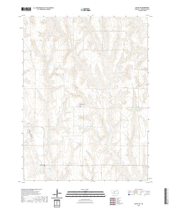
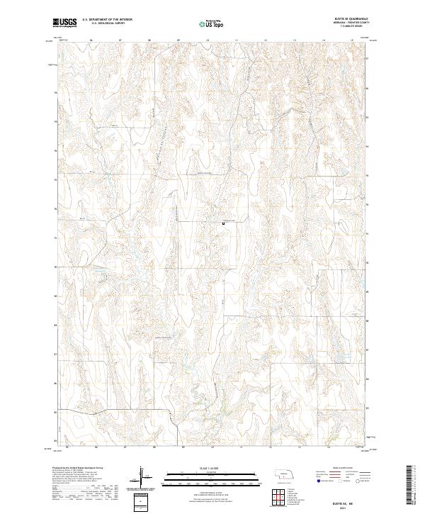
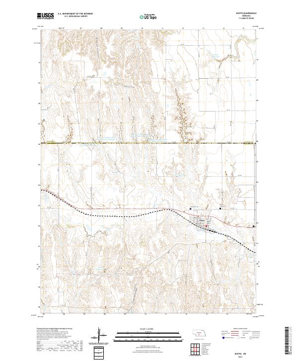 2021 Eustis2021 Print · USGSThe Frontier and Dawson County border comes into focus in this recent survey of the high plains. Researchers can trace local lineage and land use through features like Pioneer Cem, Hueftle Reservoir, and the street grid of Eustis.
 - 2021 Map of Elwood SW, 2021 Print
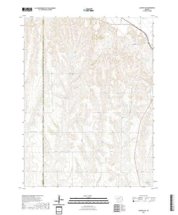 2021 Elwood SW2021 Print · USGSGosper and Frontier counties come together in this high plains landscape defined by agricultural water management. Genealogists and land researchers can trace family-named landmarks like Brockmeier Reservoir, Umberger Reservoir, and Getty Reservoir.
 - 2021 Map of Freedom, 2021 Print
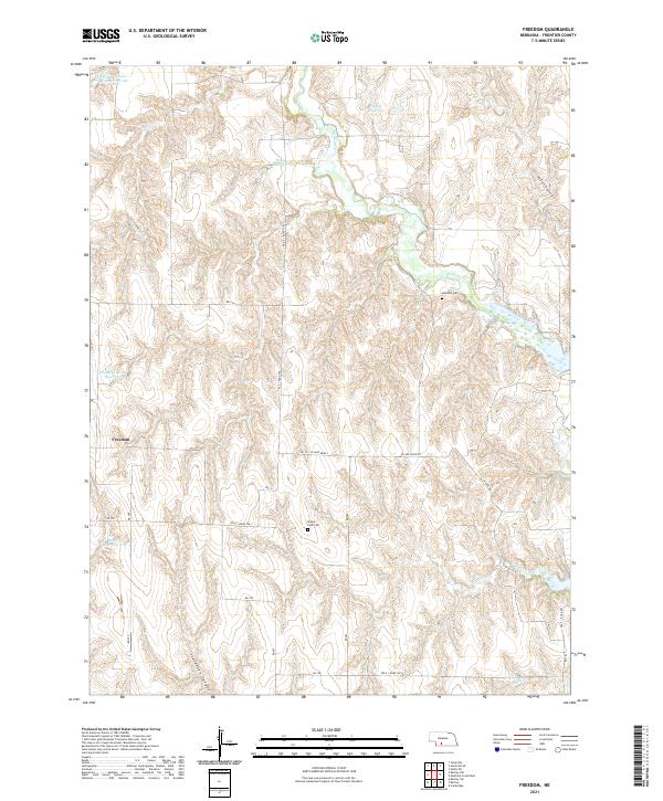 2021 Freedom2021 Print · USGSFrontier County, Nebraska, is captured here in its modern agricultural context, showcasing a landscape of canyons and vital water management. Genealogists and local historians can locate the Freedom settlement and trace family roots at the Gammill Cem or Prairie Land Cem.
 - 2021 Map of Quick SE, 2021 Print
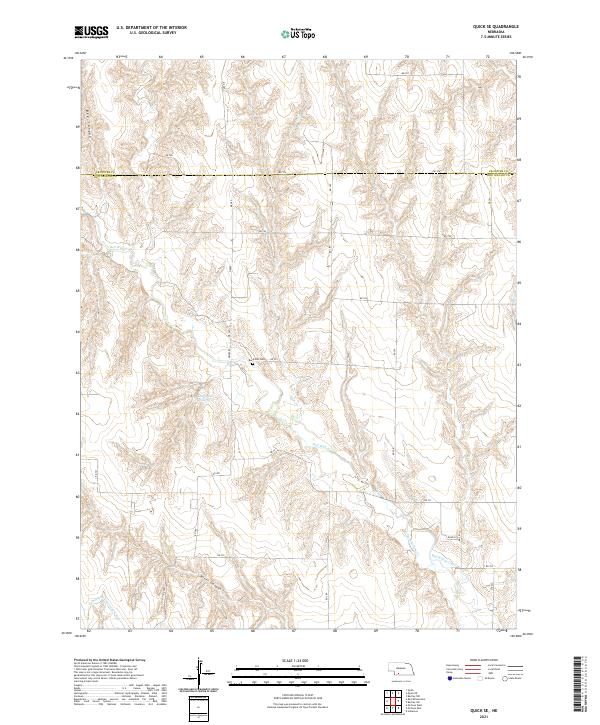 2021 Quick SE2021 Print · USGSSouthwest Nebraska's canyon-cut plains are documented here in 2021, showing the intersection of Frontier and Red Willow counties. Trace local family roots at Box Elder Cem or follow the path of the Culbertson Extension Canal and Red Willow Cr.
 - 2021 Map of Quick NE, 2021 Print
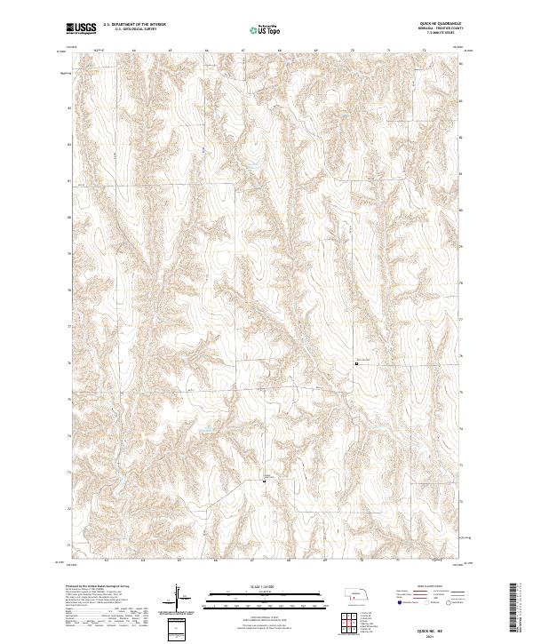 2021 Quick NE2021 Print · USGSFrontier County in the early twenty-first century maintains its grid-defined character amidst the carved breaks of the High Plains. Genealogists and local historians can locate rural burial sites such as Zion Hill Cem and Center Point Cem or trace the drainage of Coon Cr.
 - 2021 Map of Camp Hayes Lake NE, 2021 Print
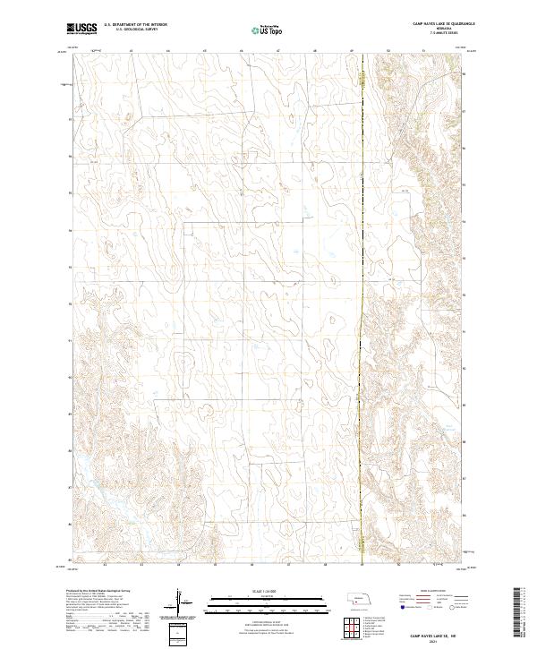
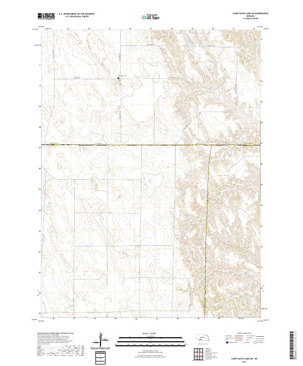 2021 Camp Hayes Lake NE2021 Print · USGSThe Nebraska high plains at the intersection of Lincoln, Hayes, and Frontier counties are captured here in the early twenty-first century. Researchers can locate the Ash Grove Cem and trace rural routes like Wagon Trail Rd and Markee Canyon Rd.
 - 2021 Map of Stockville, 2021 Print
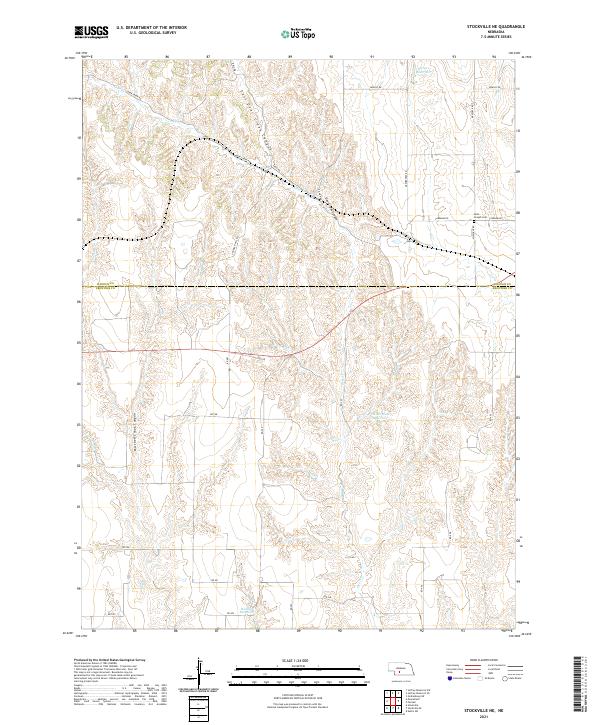
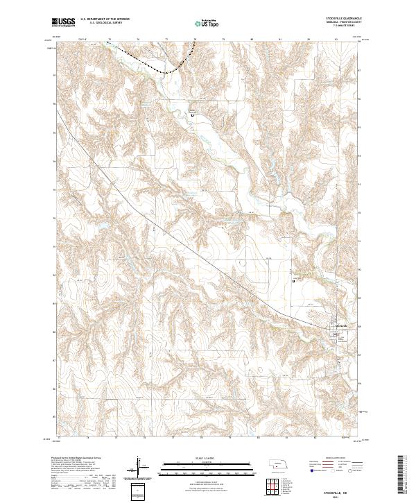 2021 Stockville2021 Print · USGSStockville and the surrounding Frontier County plains are shown in high detail during the early 2020s. Researchers can locate the Frontier County Courthouse, trace the drainages of Medicine Cr, and find rural landmarks like Sunset Point Cem.
 - 2021 Map of Elwood NW, 2021 Print
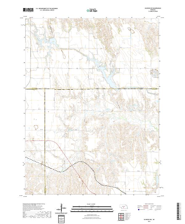 2021 Elwood NW2021 Print · USGSGosper County and its neighbors Dawson and Frontier counties are captured in this 2021 study of modern Nebraska water infrastructure. Researchers can trace the path of the Tri County Supply Canal and locate rural landmarks like Gallagher Canyon and Bellamy Reservoir.
 - 2021 Map of Holbrook, 2021 Print
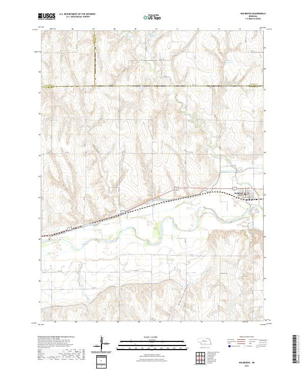 2021 Holbrook2021 Print · USGSThe village of Holbrook and its surrounding valley are documented here in the early twenty-first century, showing a landscape defined by the Republican River. Researchers can trace the path of the Cambridge Canal and locate local landmarks like Wild Horse Canyon or Hilger Reservoir.
 - 2021 Map of Curtis SW, 2021 Print
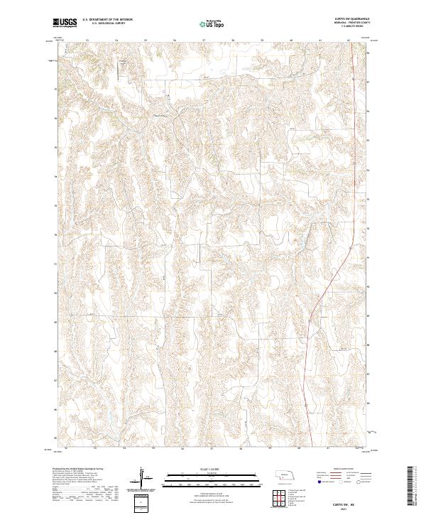 2021 Curtis SW2021 Print · USGSFrontier County at the start of the 2020s remains a landscape of deep canyons and rural section-line roads. Researchers can trace the rugged topography of Elkhorn Canyon and follow the paths of Frazier Cr or Spring Cr across the plains.
 - 2021 Map of Burger Canyon East, 2021 Print
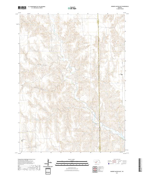 2021 Burger Canyon East2021 Print · USGSThe rural expanse between Hayes and Frontier counties comes into focus in this contemporary survey of the Nebraska canyons. Genealogists and local historians can locate rural landmarks like Saint Ann's Cem and Highland Cem near the headwaters of Red Willow Cr.
 - 2021 Map of Curtis NW, 2021 Print
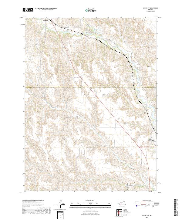 2021 Curtis NW2021 Print · USGSWestern Nebraska rangeland and deep canyon systems define the landscape between Lincoln and Frontier counties in the 2020s. Researchers can trace rural cemetery locations like Maywood Cem and spring-fed water sources such as Opal Spring and Farmers Lake.
 - 2021 Map of Quick, 2021 Print
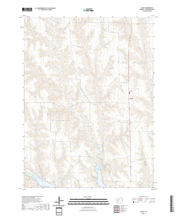 2021 Quick2021 Print · USGSFrontier County's rolling prairie and reservoir systems are documented here in the early twenty-first century. Genealogists and local historians can locate Quick and the Garden Prairie Cem or trace the canyons around Hugh Butler Lake.
 - 2021 Map of Camp Hayes Lake SE, 2021 Print
 2021 Camp Hayes Lake SE2021 Print · USGSSouthwestern Nebraska farmland is mapped here at the start of the 2020s, showing the high plains landscape where the Frontier County line meets Hayes County. Local researchers can trace drainage patterns along Spring Creek and locate water features like Teel Reservoir.
 - 2021 Map of Curtis SE, 2021 Print
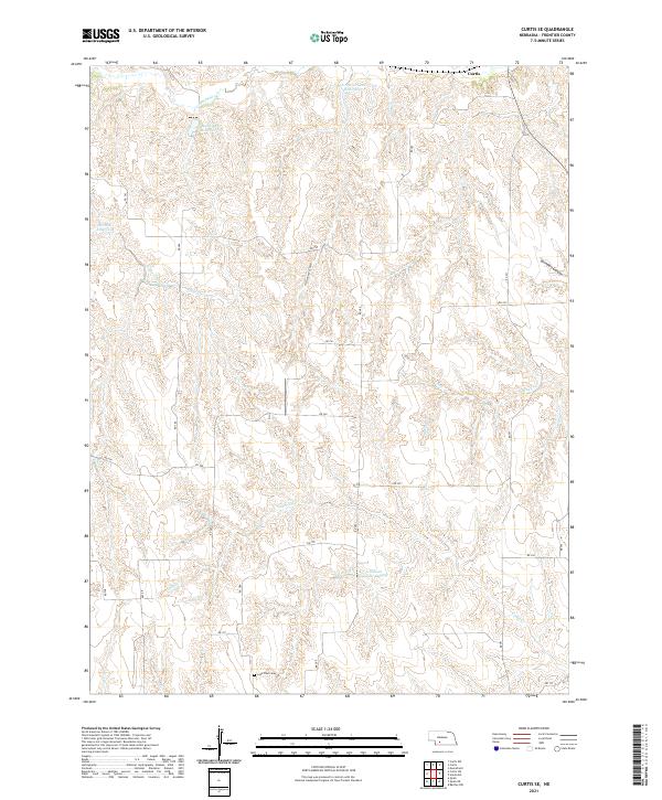 2021 Curtis SE2021 Print · USGSFrontier County's high plains and canyon systems are documented here in the early 2020s, showing a landscape defined by ranching and water management. Researchers can trace land ties at Lone Tree Cem and follow the rugged drainages of Cottonwood Canyon or Cedar Cr.
 - 2021 Map of Eustis SW, 2021 Print
 2021 Eustis SW2021 Print · USGSFrontier County's high plains and canyon breaks are captured in this recent survey. Genealogists can locate Pleasant Hill Martin Cem and Independence Cem amidst landmarks like Deer Creek Canyon and Hess Reservoir.
 - 2021 Map of Stockville SE, 2021 Print
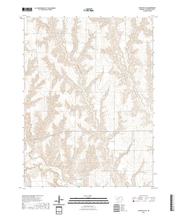 2021 Stockville SE2021 Print · USGSFrontier County's agricultural heartland is documented here in the early 2020s, showing a landscape defined by deep canyons and modern water management. Researchers can trace the local hydrology through Hinton Reservoir Number 1, Mitchell Creek Canyon, and Davis Reservoir.
 - 2021 Map of Cambridge, 2021 Print
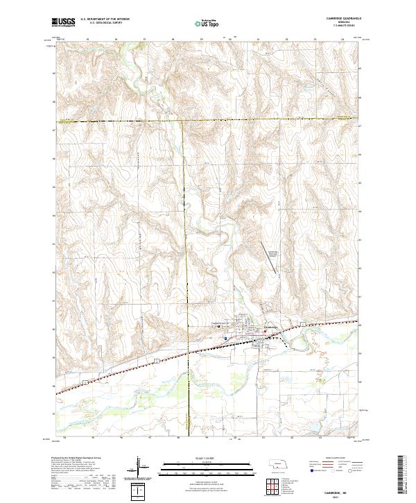 2021 Cambridge2021 Print · USGSThe Republican River valley and the town of Cambridge are shown in detail during the early 2020s. Genealogists and local researchers can locate Fairview Cem, trace the path of the Red Willow Canal, and explore the street grid from Niobrara St to Nakoma St.
 - 2021 Map of Arapahoe NW, 2021 Print
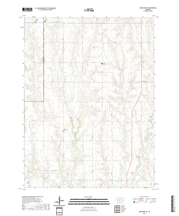 2021 Arapahoe NW2021 Print · USGSGosper and Frontier counties were characterized by a sprawling network of family farms and water management projects in the early 2020s. Genealogists can trace local heritage through sites like Salem Lutheran Cem and Pleasant Grove Cem or follow the terrain along Union Ridge.
 - 2021 Map of Bartley, 2021 Print
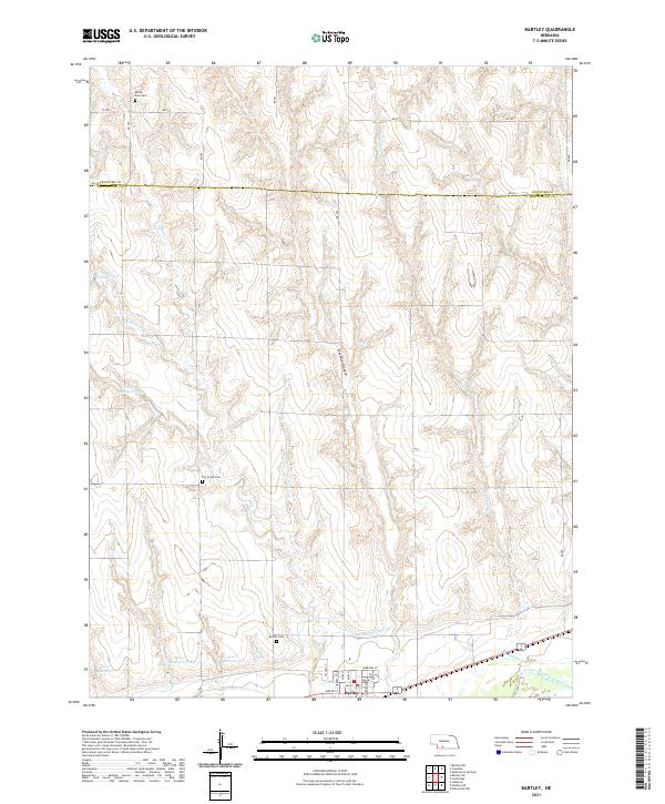 2021 Bartley2021 Print · USGSRed Willow and Frontier Counties are captured here as a landscape of structured irrigation and prairie homesteads. Researchers can locate family heritage sites at Mount Zion Cem or Dry Creek Cem and trace the path of the Red Willow Canal.
 - 2021 Map of Stockville NE, 2021 Print
 2021 Stockville NE2021 Print · USGSThe border of Frontier and Lincoln counties comes alive in this contemporary topographical study of the Nebraska plains. Family-named landmarks and rural infrastructure can be traced through sites like Saint Joseph Cem, Wintermute Reservoir, and the deep cuts of East Deer Creek Canyon.
 - 2021 Map of Eustis SE, 2021 Print
 2021 Eustis SE2021 Print · USGSFrontier County at the start of the 2020s remains a landscape of high plains and deep canyons shaped by the township-and-range system. Researchers can locate Evergreen Cem or trace water management at Schurr Reservoir Number 1 and Koch Reservoir.
 - 2021 Map of Farnam, 2021 Print
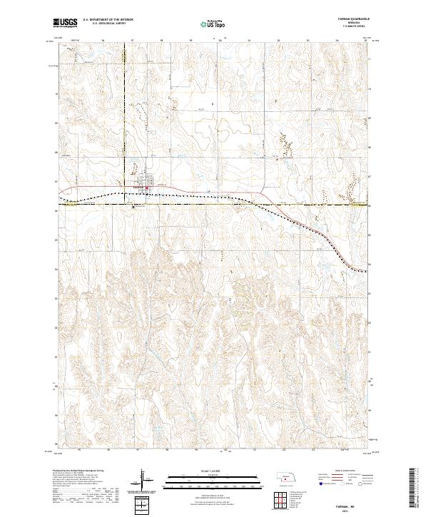 2021 Farnam2021 Print · USGSThe tri-county border of Lincoln, Dawson, and Frontier counties comes into focus in this recent survey of Farnam. Researchers can trace town streets like Moose St or locate the Farnam Cem and Gaudner Reservoir on the plains.
Showing maps 1-25 of 31
Top cities of Frontier County
- Curtis historical maps
- Eustis historical maps
- Maywood historical maps
- Moorefield historical maps
- Stockville historical maps
Frequently asked questions
- What are the different types of historical maps available for Frontier County?
- What is the oldest map of Frontier County?
- Where can I purchase historical maps of Frontier County for my home or office?
- Where can I download high-res historical maps of Frontier County?
- Are there historical topographic maps available for Frontier County?
- Is there historical aerial imagery available for Frontier County?
- Where are historical maps of Frontier County sourced from?