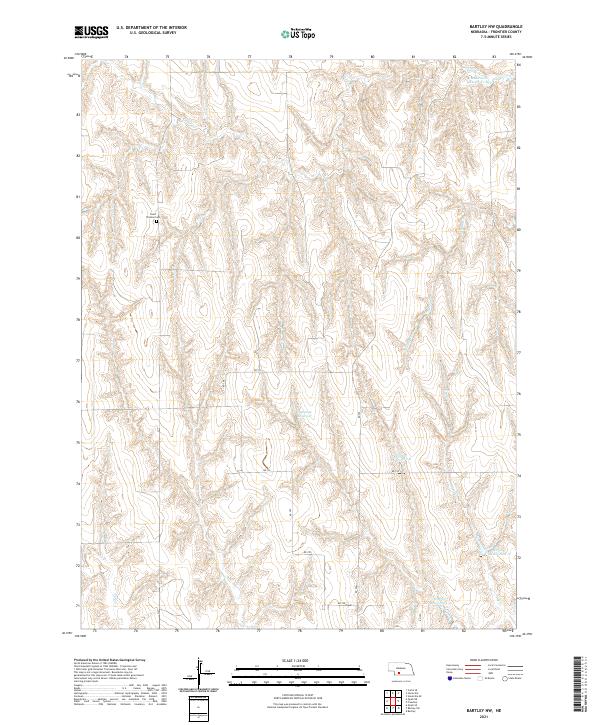
2021 Map of Bartley NW
USGS Topo · Published 2021About this map
Saint Thomas Cem stands as a primary landmark in this rural landscape of northern Frontier County, situated among the dissected drainages that feed the Republican River basin. The area's agricultural water management is clearly defined by a network of catchments, including Sughroue Reservoir and the numerically designated Dry Cr Reservoir 1-B and Dry Cr Reservoir 2-A. The terrain is deeply carved by intermittent and perennial streams such as Cedar Cr, Walnut Cr, and Coon Cr, which dictate the placement of local transport routes like RD 730. This modern survey illustrates the persistent section-line grid of the Public Land Survey System, showing how the original township divisions of t6n r28w and t5n r27w continue to organize the sparsely populated Nebraska plains into the 21st century.
Find a feature on this map
18 named features on this map. Tap any name to fly to it.
Don’t see what you’re looking for? This feature index may not catch every label — zoom into the map to look around manually.
Map Details
Editions of this 2021 Bartley NW Map
This is the sole edition of this map. No revisions or reprints were ever made.
Other maps of this area

1902 · Gothenburg
USGS Topo · 1:125,000

1954 · McCook
USGS Topo · 1:250,000

1956 · Freedom
USGS Topo · 1:24,000

1956 · Quick NE
USGS Topo · 1:24,000

1956 · Curtis SE
USGS Topo · 1:24,000

1956 · Stockville
USGS Topo · 1:24,000

1956 · Bartley NW
USGS Topo · 1:24,000

1956 · Bartley
USGS Topo · 1:24,000

1956 · Stockville SE
USGS Topo · 1:24,000

1957 · McCook
USGS Topo · 1:250,000