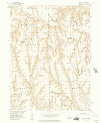
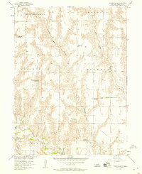
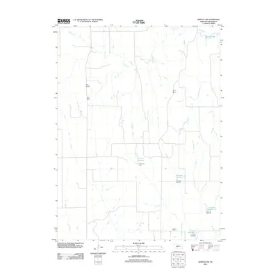
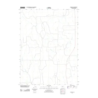
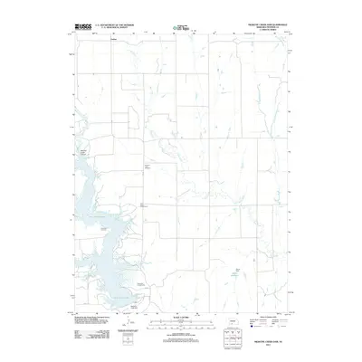
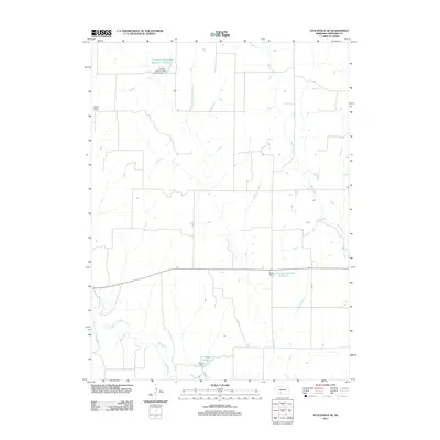
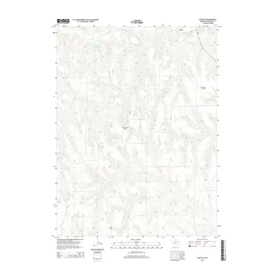
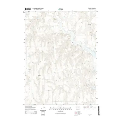
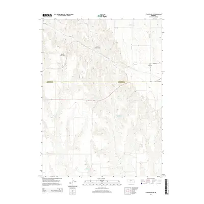
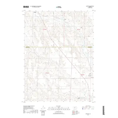
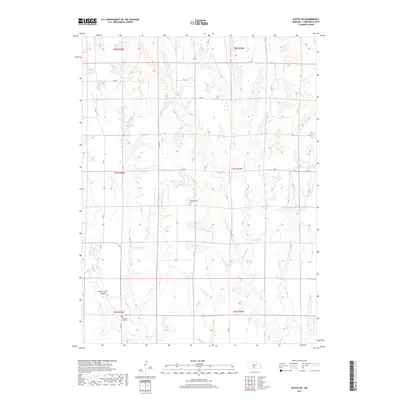
1956 Map of Bartley NW
USGS Topo · Published 1957About this map
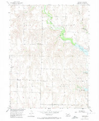
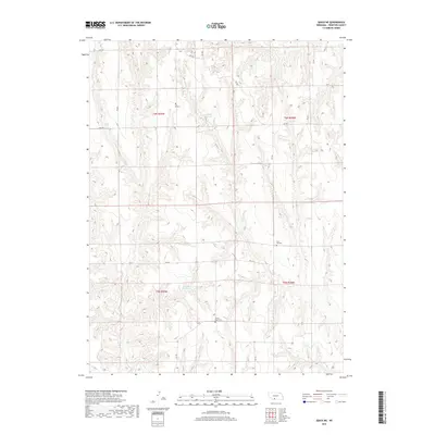
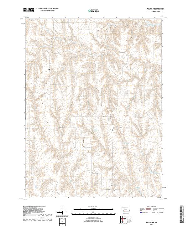
Deeply incised drainages carve through Frontier County in the mid-1950s, revealing a landscape defined by the townships of North Star, Sherman, Harrison, and Knowles. This terrain, mapped as part of the Department of the Interior program for the development of the Missouri River Basin, shows a rural Nebraska community in transition. While North Star Sch and Hanthorn Sch remained active at the time of the survey, the high number of shuttered institutions like Sunny Plains Sch, Walnut Hill Sch, and Plainview Sch suggests a consolidation of rural life and shifting settlement patterns.
Find a feature on this map
14 named features on this map. Tap any name to fly to it.
Don’t see what you’re looking for? This feature index may not catch every label — zoom into the map to look around manually.
Map Details
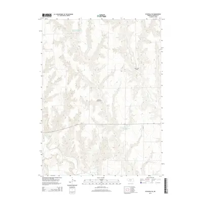
Editions of this 1956 Bartley NW Map
This is the sole edition of this map. No revisions or reprints were ever made.
Historical Maps of Frontier County Through Time
65 maps found
1956 Bartley NW
Frontier County, NE
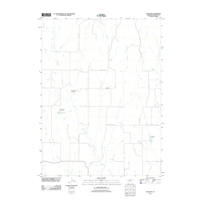
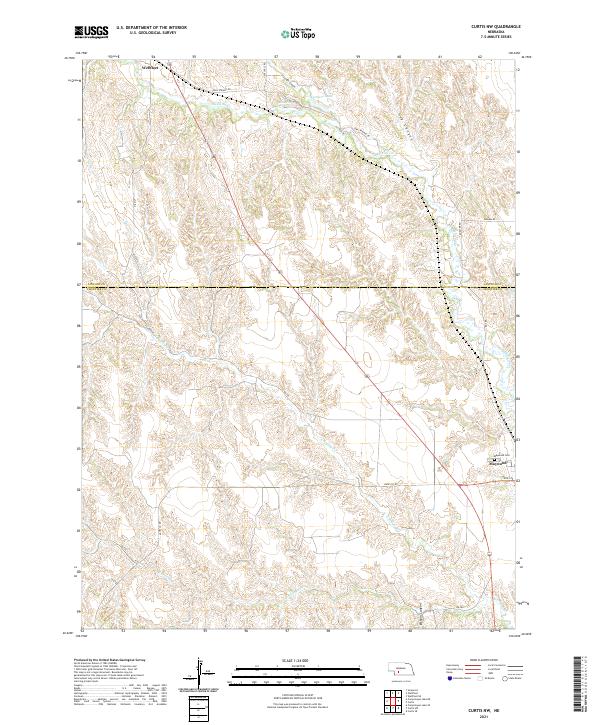
1956 Curtis NW
Frontier County, NE
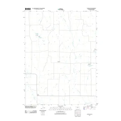
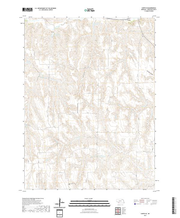
1956 Curtis SE
Frontier County, NE
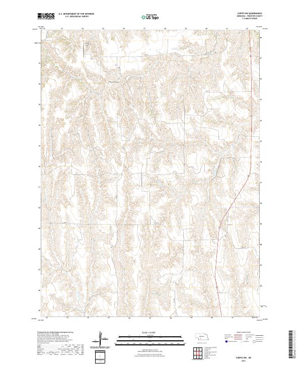
1956 Curtis SW
Frontier County, NE
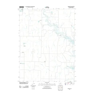
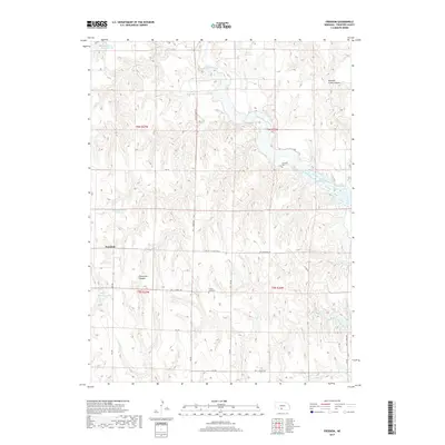
1956 Freedom
Frontier County, NE
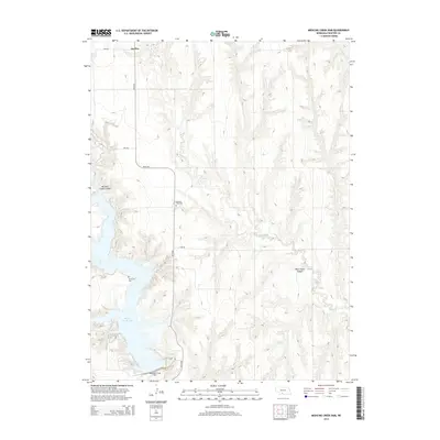
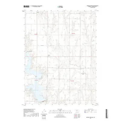
1956 Medicine Creek Dam
Frontier County, NE
1956 Quick NE
Frontier County, NE
1956 Stockville NE
Frontier County, NE
1956 Stockville SE
Frontier County, NE
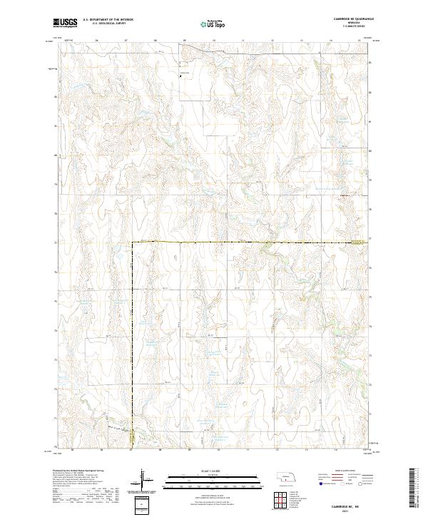
1970 Cambridge NE
Frontier County, NE
1970 Eustis SE
Frontier County, NE
1970 Eustis SW
Frontier County, NE

1970 Quick
Frontier County, NE
2011 Bartley NW
Frontier County, NE
2011 Cambridge NE
Frontier County, NE
2011 Curtis NW
Frontier County, NE
2011 Curtis SE
Frontier County, NE
2011 Curtis SW
Frontier County, NE
2011 Eustis SE
Frontier County, NE
2011 Eustis SW
Frontier County, NE
2011 Freedom
Frontier County, NE
2011 Medicine Creek Dam
Frontier County, NE
2011 Quick
Frontier County, NE
2011 Quick NE
Frontier County, NE
2011 Stockville NE
Frontier County, NE
2011 Stockville SE
Frontier County, NE
2014 Bartley NW
Frontier County, NE
2014 Cambridge NE
Frontier County, NE
2014 Curtis NW
Frontier County, NE
2014 Curtis SE
Frontier County, NE
2014 Curtis SW
Frontier County, NE
2014 Eustis SE
Frontier County, NE
2014 Eustis SW
Frontier County, NE
2014 Freedom
Frontier County, NE
2014 Medicine Creek Dam
Frontier County, NE
2014 Quick
Frontier County, NE
2014 Quick NE
Frontier County, NE
2014 Stockville NE
Frontier County, NE
2014 Stockville SE
Frontier County, NE
2017 Bartley NW
Frontier County, NE
2017 Cambridge NE
Frontier County, NE
2017 Curtis NW
Frontier County, NE
2017 Curtis SE
Frontier County, NE
2017 Curtis SW
Frontier County, NE
2017 Eustis SE
Frontier County, NE
2017 Eustis SW
Frontier County, NE
2017 Freedom
Frontier County, NE
2017 Medicine Creek Dam
Frontier County, NE
2017 Quick
Frontier County, NE
2017 Quick NE
Frontier County, NE
2017 Stockville NE
Frontier County, NE
2017 Stockville SE
Frontier County, NE
2021 Bartley NW
Frontier County, NE
2021 Cambridge NE
Frontier County, NE
2021 Curtis NW
Frontier County, NE
2021 Curtis SE
Frontier County, NE
2021 Curtis SW
Frontier County, NE
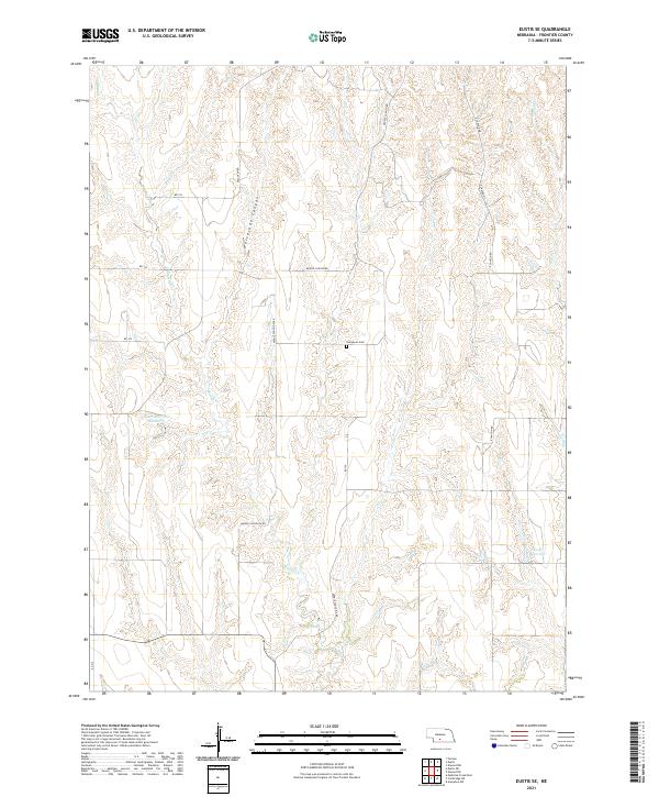
2021 Eustis SE
Frontier County, NE
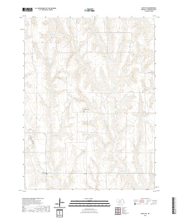
2021 Eustis SW
Frontier County, NE
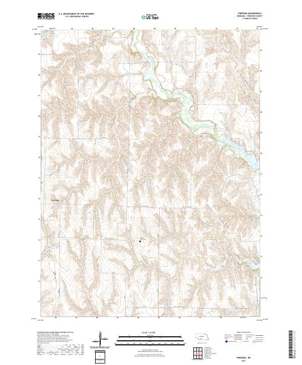
2021 Freedom
Frontier County, NE
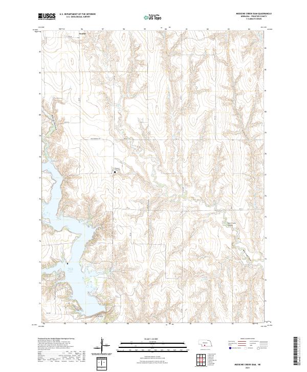
2021 Medicine Creek Dam
Frontier County, NE
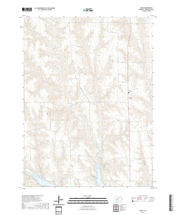
2021 Quick
Frontier County, NE
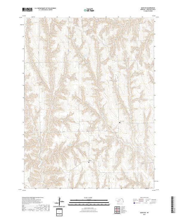
2021 Quick NE
Frontier County, NE
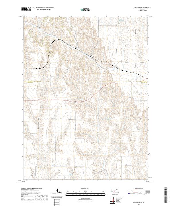
2021 Stockville NE
Frontier County, NE
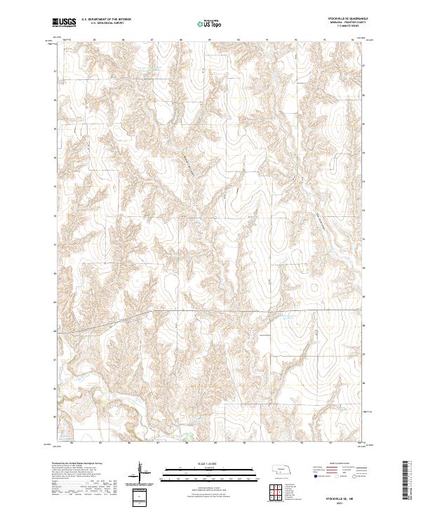
2021 Stockville SE
Frontier County, NE