
1956 Map of Curtis SE
USGS Topo · Published 1957About this map
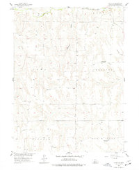
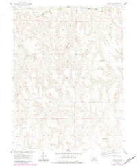
Medicine Creek and the Chicago Burlington and Quincy railroad corridor dominate the northern edge of this Frontier County landscape, where the prairie begins to break into a complex system of canyons and creek beds. The map documents a rural transition in the mid-1950s, notably marking several educational landmarks as defunct, including School No 82, School No 75, and School No 78.
Find a feature on this map
19 named features on this map. Tap any name to fly to it.
Don’t see what you’re looking for? This feature index may not catch every label — zoom into the map to look around manually.
Map Details
Editions of this 1956 Curtis SE Map
3 editions found
Other maps of this area

1902 · Gothenburg
USGS Topo · 1:125,000

1954 · McCook
USGS Topo · 1:250,000

1956 · Curtis SW
USGS Topo · 1:24,000

1956 · Moorefield
USGS Topo · 1:24,000

1956 · Curtis NW
USGS Topo · 1:24,000

1956 · Quick NE
USGS Topo · 1:24,000

1956 · Curtis
USGS Topo · 1:24,000

1956 · Stockville
USGS Topo · 1:24,000

1956 · Bartley NW
USGS Topo · 1:24,000

1957 · McCook
USGS Topo · 1:250,000