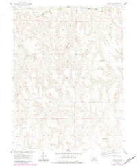
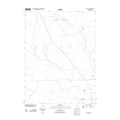
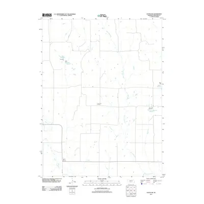
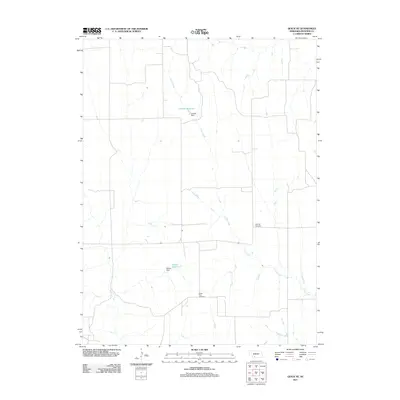
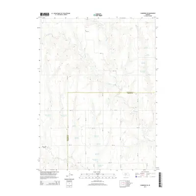
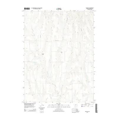
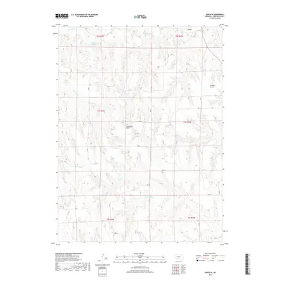
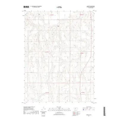
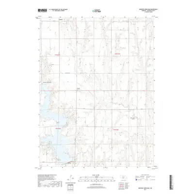
1956 Map of Curtis SE
USGS Topo · Published 1983About this map
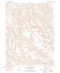
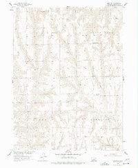
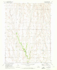
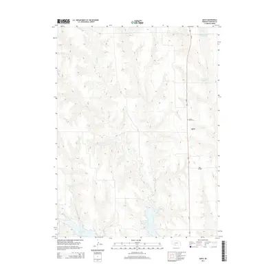
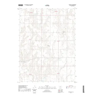
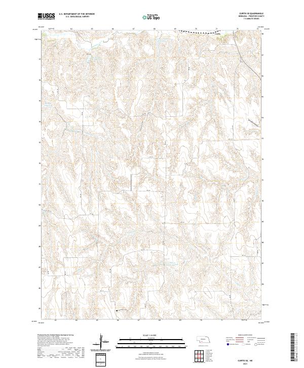
Lone Tree Cem and several rural schools anchor this mid-century look at Frontier County, where the dissected plains are carved by deep drainage systems. The landscape is defined by the steep-walled Cottonwood Canyon and Saunders Canyon, which direct the flow of intermittent streams toward more permanent water bodies like Medicine Creek and Brushy Creek. This survey captures the transition of the local educational landscape, identifying School No 82, School No 75, and School No 78 as no longer in use, reflecting the consolidation of rural districts in Nebraska during the post-war era. Infrastructure is represented by the Burlington Northern line and the small settlement at Fischer, while a network of creeks including Spring Creek, Frazier Creek, and Cedar Creek provide the primary topography for cattle ranching and dryland farming.
Find a feature on this map
14 named features on this map. Tap any name to fly to it.
Don’t see what you’re looking for? This feature index may not catch every label — zoom into the map to look around manually.
Map Details
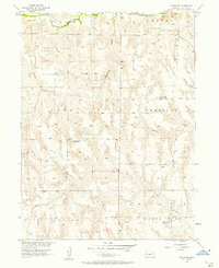
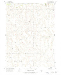
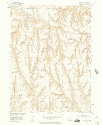
Editions of this 1956 Curtis SE Map
3 editions found
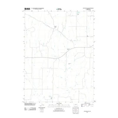
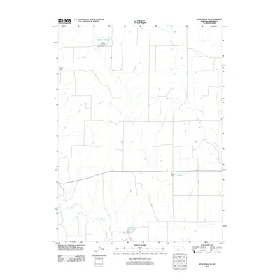
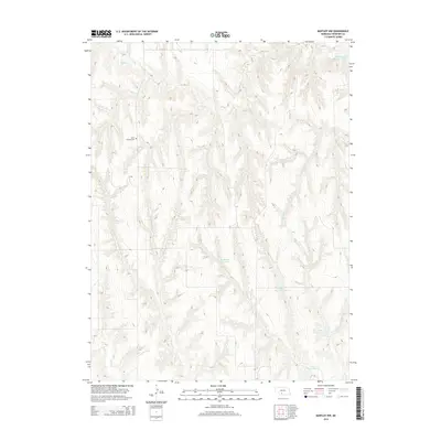
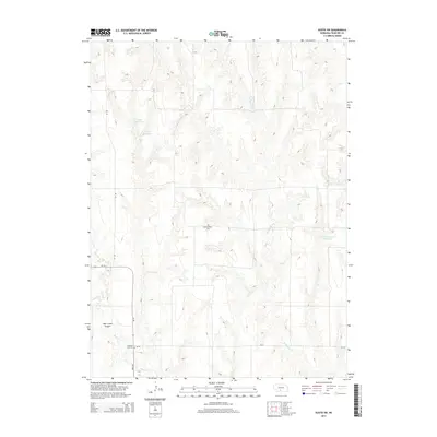
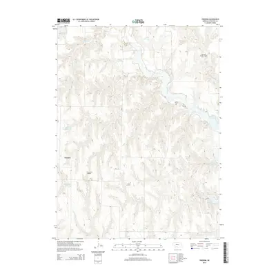
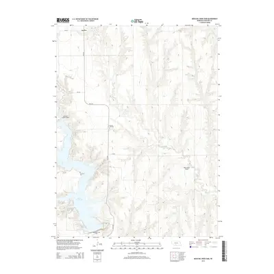
Historical Maps of Curtis Through Time
65 maps found
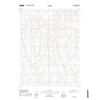
1956 Bartley NW
Frontier County, NE
1956 Curtis NW
Frontier County, NE
1956 Curtis SE
Frontier County, NE
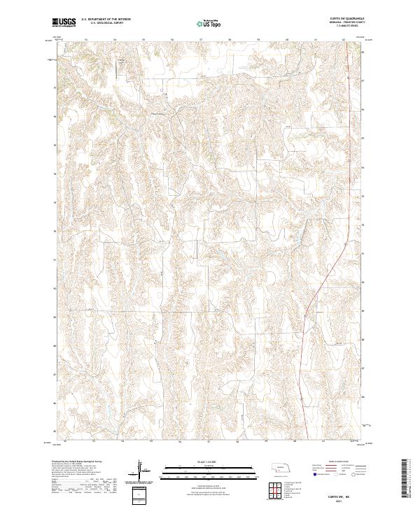
1956 Curtis SW
Frontier County, NE
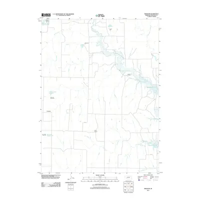
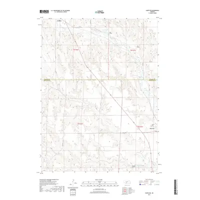
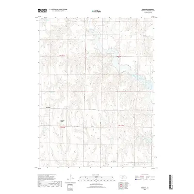
1956 Freedom
Frontier County, NE
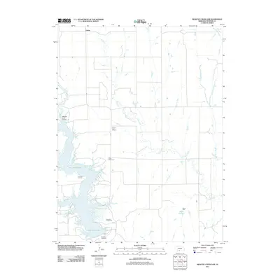
1956 Medicine Creek Dam
Frontier County, NE
1956 Quick NE
Frontier County, NE
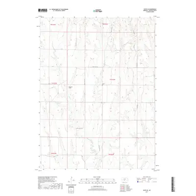
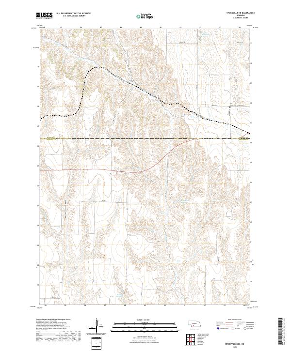
1956 Stockville NE
Frontier County, NE
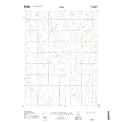
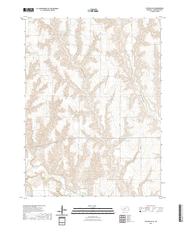
1956 Stockville SE
Frontier County, NE
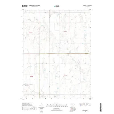
1970 Cambridge NE
Frontier County, NE
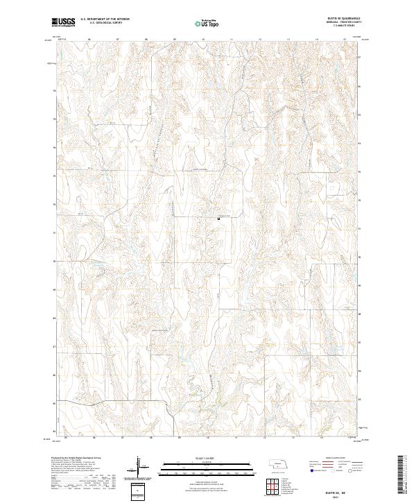
1970 Eustis SE
Frontier County, NE
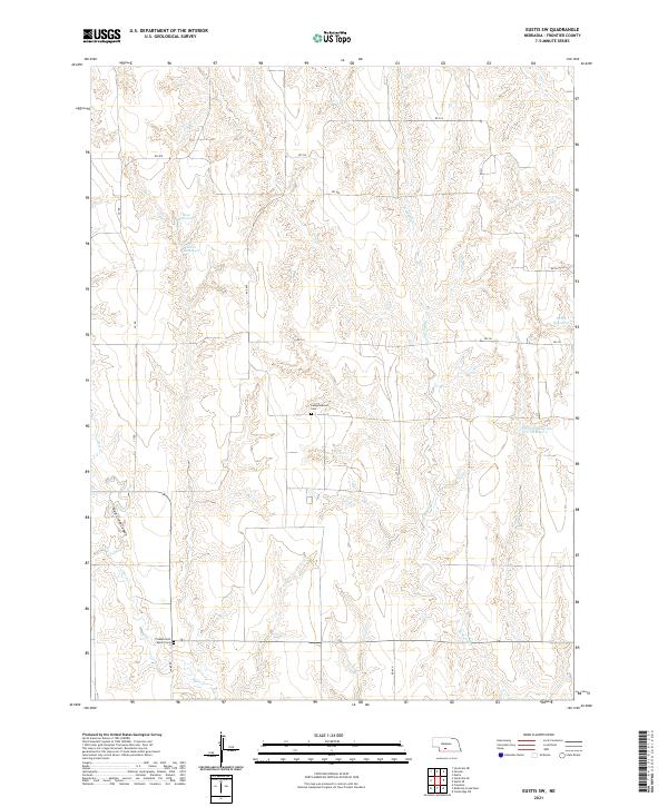
1970 Eustis SW
Frontier County, NE

1970 Quick
Frontier County, NE
2011 Bartley NW
Frontier County, NE
2011 Cambridge NE
Frontier County, NE
2011 Curtis NW
Frontier County, NE
2011 Curtis SE
Frontier County, NE
2011 Curtis SW
Frontier County, NE
2011 Eustis SE
Frontier County, NE
2011 Eustis SW
Frontier County, NE
2011 Freedom
Frontier County, NE
2011 Medicine Creek Dam
Frontier County, NE
2011 Quick
Frontier County, NE
2011 Quick NE
Frontier County, NE
2011 Stockville NE
Frontier County, NE
2011 Stockville SE
Frontier County, NE
2014 Bartley NW
Frontier County, NE
2014 Cambridge NE
Frontier County, NE
2014 Curtis NW
Frontier County, NE
2014 Curtis SE
Frontier County, NE
2014 Curtis SW
Frontier County, NE
2014 Eustis SE
Frontier County, NE
2014 Eustis SW
Frontier County, NE
2014 Freedom
Frontier County, NE
2014 Medicine Creek Dam
Frontier County, NE
2014 Quick
Frontier County, NE
2014 Quick NE
Frontier County, NE
2014 Stockville NE
Frontier County, NE
2014 Stockville SE
Frontier County, NE
2017 Bartley NW
Frontier County, NE
2017 Cambridge NE
Frontier County, NE
2017 Curtis NW
Frontier County, NE
2017 Curtis SE
Frontier County, NE
2017 Curtis SW
Frontier County, NE
2017 Eustis SE
Frontier County, NE
2017 Eustis SW
Frontier County, NE
2017 Freedom
Frontier County, NE
2017 Medicine Creek Dam
Frontier County, NE
2017 Quick
Frontier County, NE
2017 Quick NE
Frontier County, NE
2017 Stockville NE
Frontier County, NE
2017 Stockville SE
Frontier County, NE
2021 Bartley NW
Frontier County, NE
2021 Cambridge NE
Frontier County, NE
2021 Curtis NW
Frontier County, NE
2021 Curtis SE
Frontier County, NE
2021 Curtis SW
Frontier County, NE
2021 Eustis SE
Frontier County, NE
2021 Eustis SW
Frontier County, NE
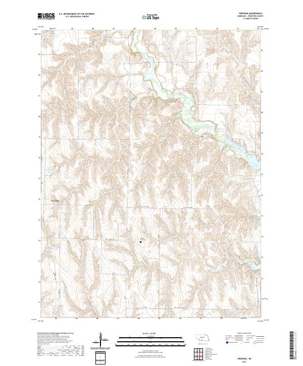
2021 Freedom
Frontier County, NE
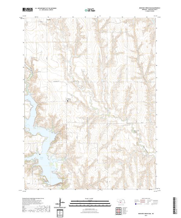
2021 Medicine Creek Dam
Frontier County, NE
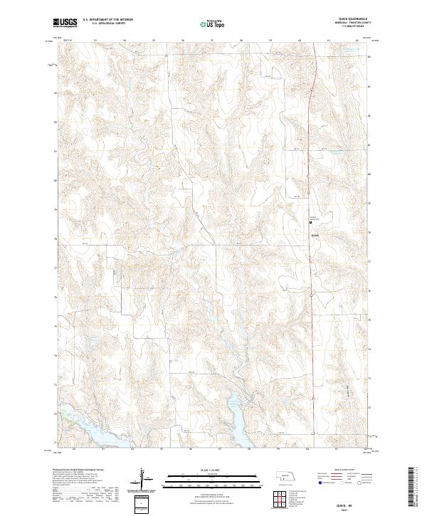
2021 Quick
Frontier County, NE
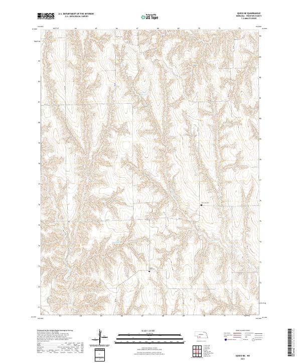
2021 Quick NE
Frontier County, NE
2021 Stockville NE
Frontier County, NE
2021 Stockville SE
Frontier County, NE