
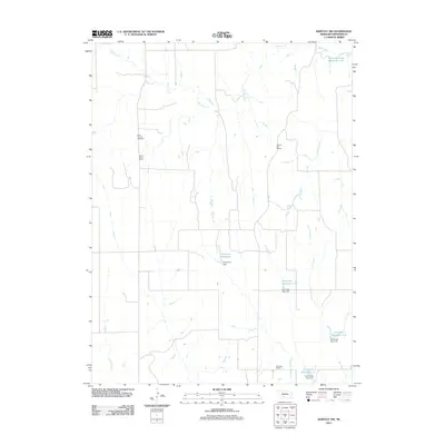
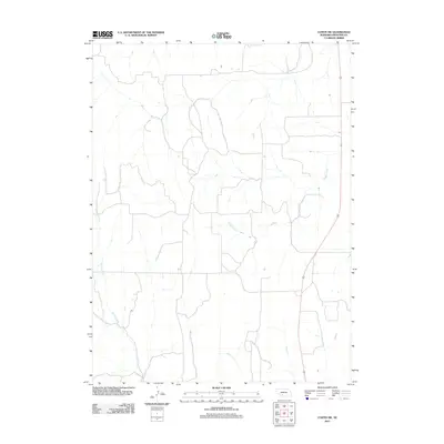
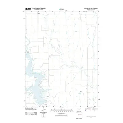
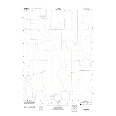
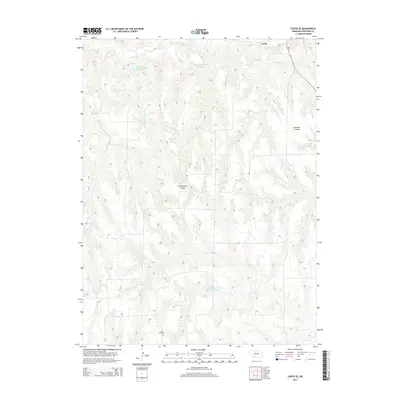
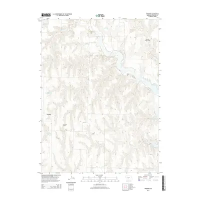
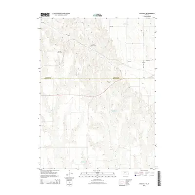
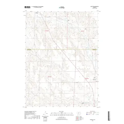
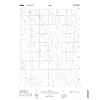
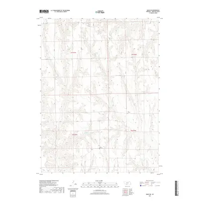
1956 Map of Quick NE
USGS Topo · Published 1957About this map
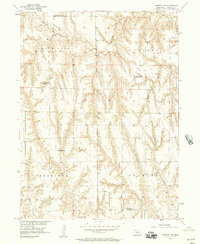
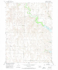
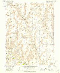
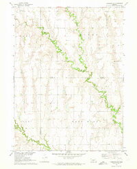
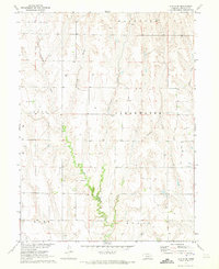
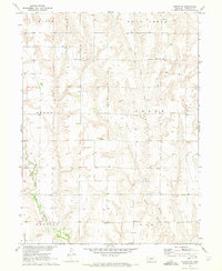
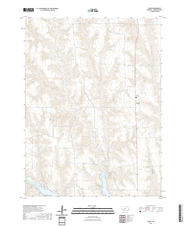
The dissected tablelands of Frontier County are captured in this mid-century survey, defined by the winding course of Coon Creek and the organized townships of Lincoln, North Star, Allen, and Harrison. This area reflects a mid-1950s rural landscape where life centered on small, decentralized schoolhouses and local burying grounds. Educational landmarks like Ash Grove Sch, South Star Sch, and Zion Hill Sch are prominently featured, serving as anchors for the surrounding farmsteads. The topography is deeply etched with draws and ridges, typical of the Missouri River Basin development program's study area. Genealogists and historians can pinpoint the exact location of the Schoonover Cem, providing a precise record of the local community before further modern consolidation.
Find a feature on this map
9 named features on this map. Tap any name to fly to it.
Don’t see what you’re looking for? This feature index may not catch every label — zoom into the map to look around manually.
Map Details
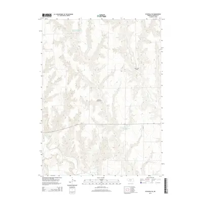
Editions of this 1956 Quick NE Map
2 editions found
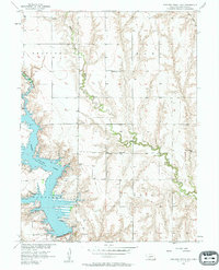
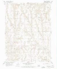
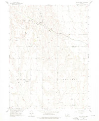
Historical Maps of Frontier County Through Time
65 maps found
1956 Bartley NW
Frontier County, NE
1956 Curtis NW
Frontier County, NE
1956 Curtis SE
Frontier County, NE
1956 Curtis SW
Frontier County, NE
1956 Freedom
Frontier County, NE
1956 Medicine Creek Dam
Frontier County, NE
1956 Quick NE
Frontier County, NE
1956 Stockville NE
Frontier County, NE
1956 Stockville SE
Frontier County, NE
1970 Cambridge NE
Frontier County, NE
1970 Eustis SE
Frontier County, NE
1970 Eustis SW
Frontier County, NE

1970 Quick
Frontier County, NE
2011 Bartley NW
Frontier County, NE
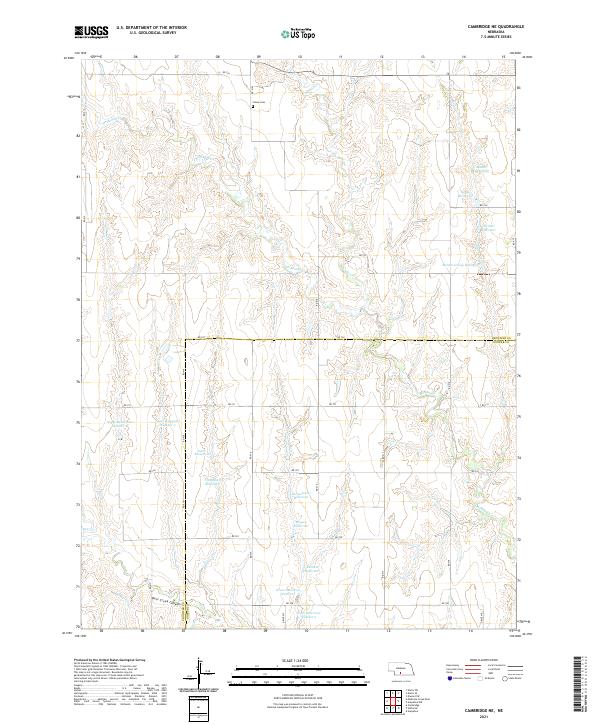
2011 Cambridge NE
Frontier County, NE
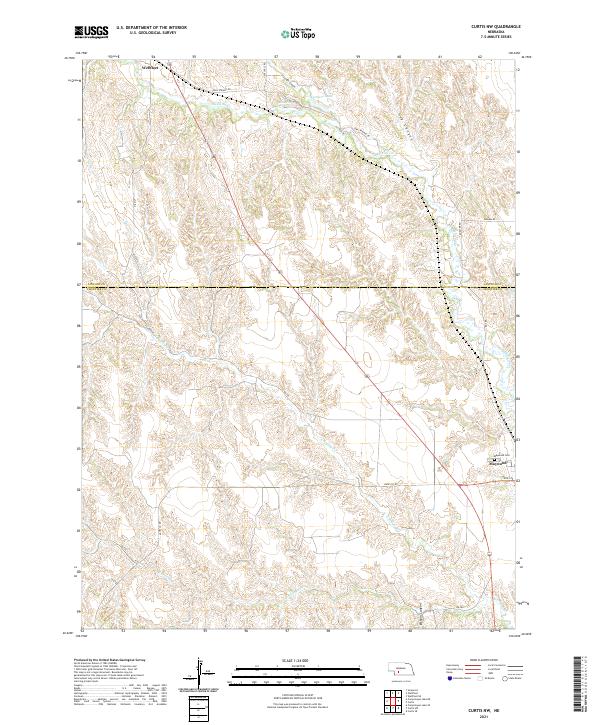
2011 Curtis NW
Frontier County, NE
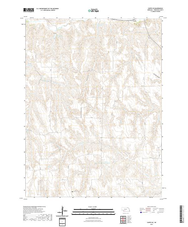
2011 Curtis SE
Frontier County, NE
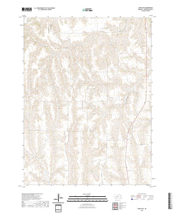
2011 Curtis SW
Frontier County, NE
2011 Eustis SE
Frontier County, NE
2011 Eustis SW
Frontier County, NE
2011 Freedom
Frontier County, NE
2011 Medicine Creek Dam
Frontier County, NE
2011 Quick
Frontier County, NE
2011 Quick NE
Frontier County, NE
2011 Stockville NE
Frontier County, NE
2011 Stockville SE
Frontier County, NE
2014 Bartley NW
Frontier County, NE
2014 Cambridge NE
Frontier County, NE
2014 Curtis NW
Frontier County, NE
2014 Curtis SE
Frontier County, NE
2014 Curtis SW
Frontier County, NE
2014 Eustis SE
Frontier County, NE
2014 Eustis SW
Frontier County, NE
2014 Freedom
Frontier County, NE
2014 Medicine Creek Dam
Frontier County, NE
2014 Quick
Frontier County, NE
2014 Quick NE
Frontier County, NE
2014 Stockville NE
Frontier County, NE
2014 Stockville SE
Frontier County, NE
2017 Bartley NW
Frontier County, NE
2017 Cambridge NE
Frontier County, NE
2017 Curtis NW
Frontier County, NE
2017 Curtis SE
Frontier County, NE
2017 Curtis SW
Frontier County, NE
2017 Eustis SE
Frontier County, NE
2017 Eustis SW
Frontier County, NE
2017 Freedom
Frontier County, NE
2017 Medicine Creek Dam
Frontier County, NE
2017 Quick
Frontier County, NE
2017 Quick NE
Frontier County, NE
2017 Stockville NE
Frontier County, NE
2017 Stockville SE
Frontier County, NE
2021 Bartley NW
Frontier County, NE
2021 Cambridge NE
Frontier County, NE
2021 Curtis NW
Frontier County, NE
2021 Curtis SE
Frontier County, NE
2021 Curtis SW
Frontier County, NE
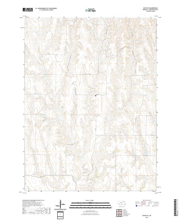
2021 Eustis SE
Frontier County, NE
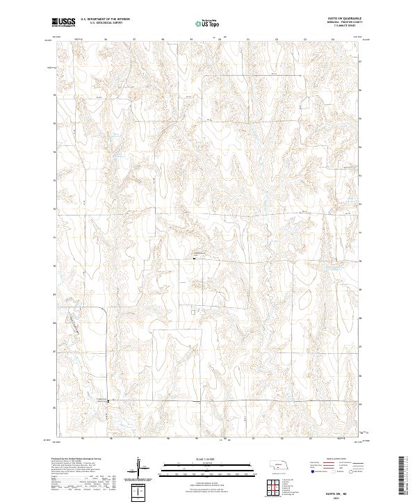
2021 Eustis SW
Frontier County, NE
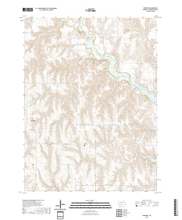
2021 Freedom
Frontier County, NE
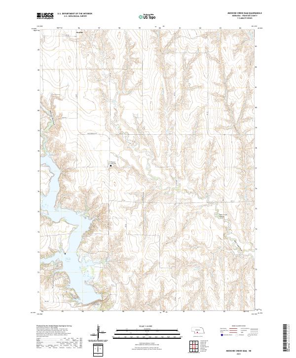
2021 Medicine Creek Dam
Frontier County, NE
2021 Quick
Frontier County, NE
2021 Quick NE
Frontier County, NE
2021 Stockville NE
Frontier County, NE
2021 Stockville SE
Frontier County, NE