2010s Maps of Frontier County, Nebraska
Explore 93 historic maps of Frontier County from the 2010s. These maps offer a rare glimpse into what life looked like during the 2010s — showing old roads, neighborhoods, homes, and landmarks that have changed or disappeared over time.
Whether you're researching your family's past, planning a metal detecting trip, or studying how Frontier County's landscape evolved across the 2010s, these high-resolution maps are a powerful tool for exploring the history of this region.
- Focus on a specific era: All maps on this page are from the 2010s, giving you a focused view of this time period.
- See what’s changed: Compare century-old streets, trails, and buildings to today's modern landscape using overlays and satellite layers.
- Research with precision: Use these maps for genealogy, historical research, land use analysis, or educational projects.
- View, download, or print: Maps are fully viewable online in high resolution, and can be downloaded or printed for your own records.
Start exploring Frontier County's history through authentic maps from the 2010s. This is your window into the past.
Frontier County, NE maps
(93)- 2011 Map of Arapahoe NW, 2011 Print
 2011 Arapahoe NW2011 Print · USGSGosper County is documented in the early twenty-first century as a landscape of rural cemeteries and essential water management. Genealogists can locate Salem Lutheran Cemetery and East Muddy Cemetery, while collectors can trace reservoirs like Robinson Reservoir and Monter Reservoir.
 - 2011 Map of Elwood NW, 2011 Print
 2011 Elwood NW2011 Print · USGSDawson County agriculture and water engineering are on full display in this 2010s survey of central Nebraska. Genealogists and land researchers can trace the modern irrigation grid and local landmarks like Bellamy Reservoir and the Tri County Supply Canal.
 - 2011 Map of Elwood SW, 2011 Print
 2011 Elwood SW2011 Print · USGSGosper County in the early twenty-first century reveals a highly organized agricultural landscape shaped by essential water management. Genealogists and land historians can trace family-named landmarks like Getty Reservoir, Ford Reservoir, and Schrock Reservoir.
 - 2011 Map of Camp Hayes Lake NE, 2011 Print
 2011 Camp Hayes Lake NE2011 Print · USGSLincoln County at the start of the 2010s reveals a structured agricultural landscape organized by an extensive grid of section-line roads. Trace the paths of North Brushy Creek and South Brushy Creek alongside routes like S Wagon Trail Rd.
 - 2011 Map of Bartley SW, 2011 Print
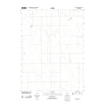 2011 Bartley SW2011 Print · USGSRed Willow County in the early twenty-first century remains a landscape of managed prairie waterways and rural section lines. Genealogists and land researchers can trace the agricultural footprint of the area through features like Kometscher Reservoir and Coon Creek.
 - 2011 Map of Burger Canyon East, 2011 Print
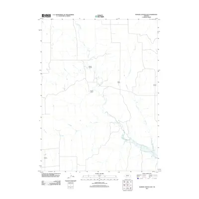 2011 Burger Canyon East2011 Print · USGSFrontier County at the start of the decade reveals a landscape where deep canyons and winding creeks shape the rural layout. Genealogists and local historians can locate Saint Ann Cemetery, Highland Cemetery, and Burger Canyon.
 - 2011 Map of Curtis, 2011 Print
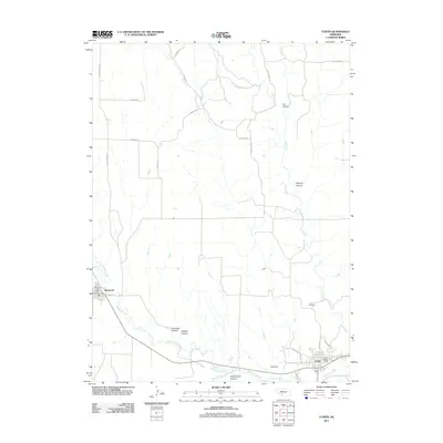 2011 Curtis2011 Print · USGSFrontier County at the start of the 2010s reveals a landscape defined by deep canyons and the winding path of Medicine Creek. Genealogists and local historians can locate the Curtis Cemetery and trace the rural routes connecting Maywood to Curtis.
 - 2011 Map of Stockville SE, 2011 Print
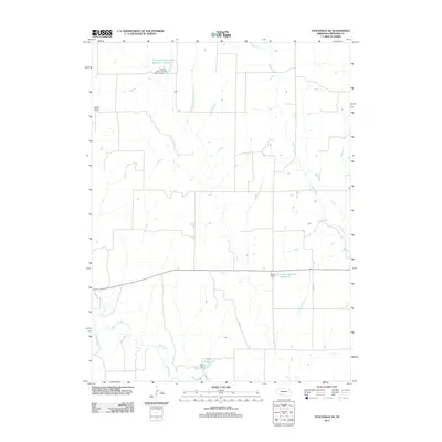 2011 Stockville SE2011 Print · USGSFrontier County, Nebraska, is seen here during the early twenty-first century as a landscape focused on prairie water management. Genealogists and local historians can locate the Boston Ridge School and trace the paths of Medicine Creek and Deer Creek.
 - 2011 Map of Stockville, 2011 Print
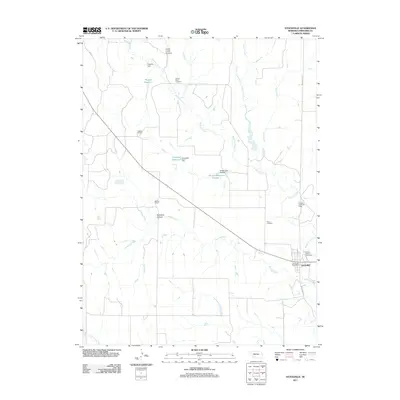 2011 Stockville2011 Print · USGSStockville and the surrounding Frontier County plains are captured here in the early twenty-first century as a landscape of rural schools and water reservoirs. Researchers can locate historical sites like Liberty School, trace the path of Medicine Creek, or find family records at Arbor Cemetery.
 - 2011 Map of Camp Hayes Lake SE, 2011 Print
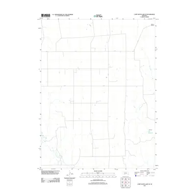 2011 Camp Hayes Lake SE2011 Print · USGSThe rural expanses of Frontier County are defined by a network of local roads and natural drainages in the early twenty-first century. Researchers can trace water management features like Teel Reservoir and Teel Dam or the winding course of Red Willow Creek.
 - 2011 Map of Freedom, 2011 Print
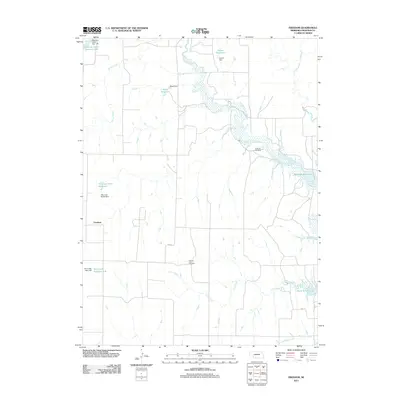 2011 Freedom2011 Print · USGSFreedom and the surrounding Frontier County prairies are captured here in a period of modern water management. Genealogists and local researchers can locate Gammill Cemetery and Prairie Land Cemetery or trace the shores of Harry Strunk Lake and Medicine Creek.
 - 2011 Map of Medicine Creek Dam, 2011 Print
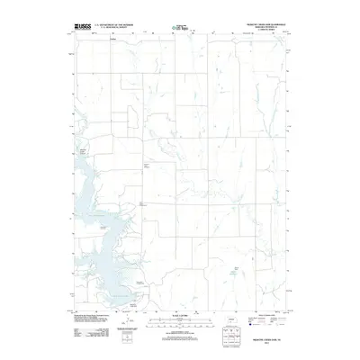 2011 Medicine Creek Dam2011 Print · USGSFrontier County at the start of the 2010s centers on the critical water resources of the High Plains. Genealogists and researchers can locate Pleasant View Cemetery, the settlement of Orafino, and recreational features like Shady Bay Campground near the Medicine Creek Dam.
 - 2011 Map of Cambridge NE, 2011 Print
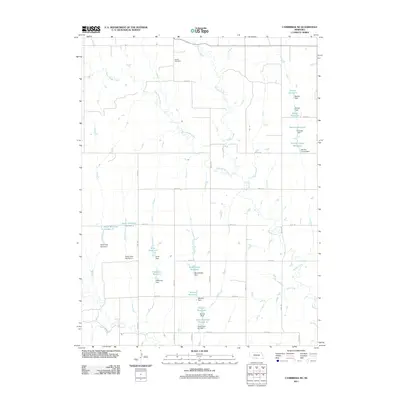 2011 Cambridge NE2011 Print · USGSGosper County is documented here during the early 21st century, showing a landscape defined by agricultural water management and family landholdings. Researchers can locate the historic Stowe Cemetery and trace dozens of named water works like Monter Reservoir and Scott Reservoir.
 - 2011 Map of Curtis SW, 2011 Print
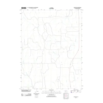 2011 Curtis SW2011 Print · USGSFrontier County's open landscape is documented here in the early twenty-first century. Researchers can trace the path of Spring Creek and Frazier Creek as they wind through a grid of rural section roads.
 - 2011 Map of Eustis, 2011 Print
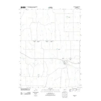 2011 Eustis2011 Print · USGSEustis and the surrounding Frontier County prairies are documented here in the early twenty-first century, showing a landscape shaped by rail and water management. Genealogists can locate several burial grounds including Pioneer Cemetery and Eustis Lutheran Cemetery.
 - 2011 Map of Red Willow Dam, 2011 Print
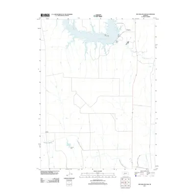 2011 Red Willow Dam2011 Print · USGSRed Willow County at the start of the 2010s shows a landscape shaped by significant water management and recreation projects. Genealogists and local historians can locate the Zion Hill Cemetery or trace the vast reach of the Culbertson Canal and Hugh Butler Lake.
 - 2011 Map of Quick SE, 2011 Print
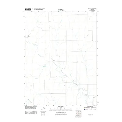 2011 Quick SE2011 Print · USGSRed Willow County at the start of the decade shows a landscape defined by prairie water management and rural longevity. Genealogists and local historians can locate the Box Elder Cemetery or trace the irrigation paths of the Red Willow Canal and Larington Reservoir.
 - 2011 Map of Quick NE, 2011 Print
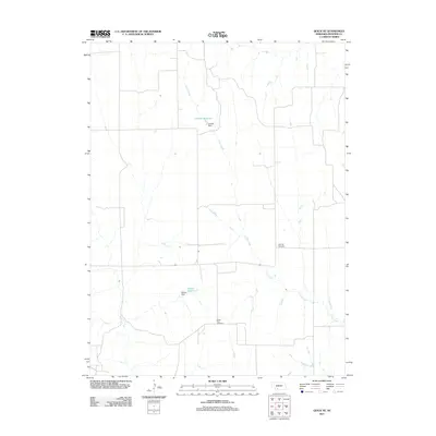 2011 Quick NE2011 Print · USGSFrontier County at the start of the twenty-first century reveals a landscape of managed water and quiet rural traditions. Genealogists and local historians can trace family ties at Zion Hill Cemetery and Center Point Cemetery or locate the site of Schow Reservoir.
 - 2011 Map of Burger Canyon SE, 2011 Print
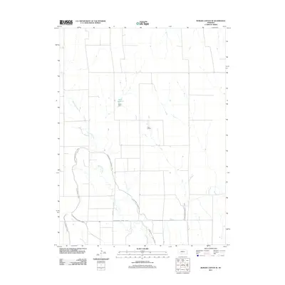 2011 Burger Canyon SE2011 Print · USGSRed Willow County in the early 2010s shows a landscape deeply defined by its irrigation history. Researchers can trace the sophisticated water networks of the Culbertson Canal and Blackwood Lateral Canal alongside Miller Reservoir.
 - 2011 Map of Farnam, 2011 Print
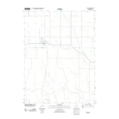 2011 Farnam2011 Print · USGSFarnam and the surrounding Dawson County plains are captured here in the early 2010s, showing a landscape defined by water management and rural transit. Genealogists and historians can locate the Farnam Cemetery, Farnam Post Office, and local landmarks like Gardner Reservoir.
 - 2011 Map of Holbrook, 2011 Print
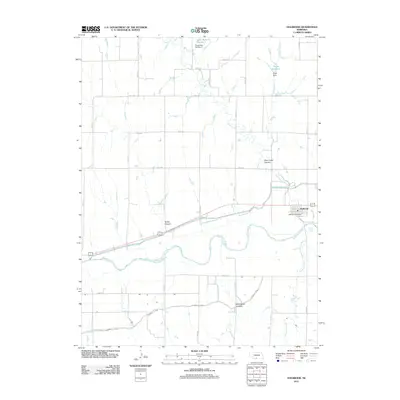 2011 Holbrook2011 Print · USGSThe Republican River valley in Furnas County is captured here in the early twenty-first century as a hub of Nebraska irrigation and agriculture. Researchers can trace the town grid of Holbrook, the path of the Cambridge Canal, and landmarks like Wild Horse Canyon.
 - 2011 Map of Quick, 2011 Print
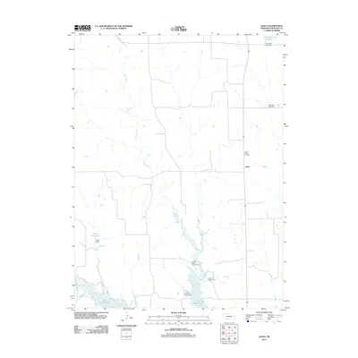 2011 Quick2011 Print · USGSFrontier County at the start of the twenty-first century is a landscape of managed prairie and vital water resources. Family historians and researchers can locate Garden Prairie Cemetery or trace the development of Hugh Butler Lake and the settlement of Quick.
 - 2011 Map of Moorefield, 2011 Print
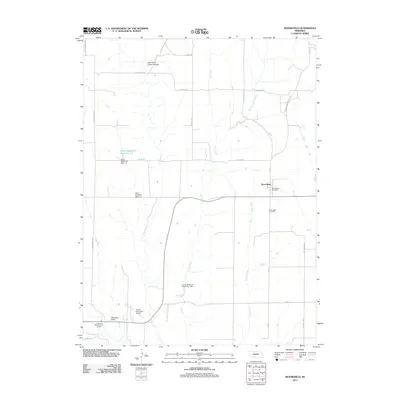 2011 Moorefield2011 Print · USGSMoorefield and the surrounding plains of Frontier County are documented here in the early twenty-first century. Genealogists and local historians can locate the Moorefield Cemetery, trace the local water works at Elson Detention Dam 1-N, and see the layout of the Curtis Municipal Airport.
 - 2011 Map of Cambridge, 2011 Print
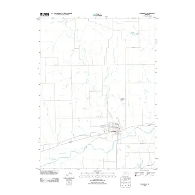 2011 Cambridge2011 Print · USGSCambridge and its surrounding agricultural lands are captured in the early twenty-first century as the Republican River valley continues its long history of irrigation. Researchers can locate Fairview Cemetery, trace the Red Willow Canal, and find local landmarks like the Cambridge Post Office.
 - 2011 Map of Stockville NE, 2011 Print
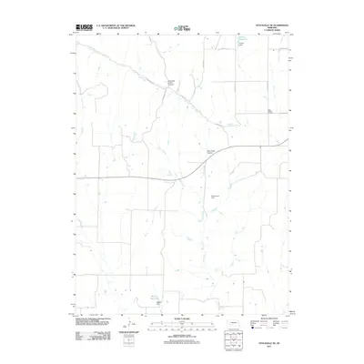 2011 Stockville NE2011 Print · USGSLincoln County, Nebraska, reveals its rural character and water management history in this twenty-first-century survey. Genealogists and researchers can locate the Saint Joseph Cemetery and trace the paths of Deer Creek and Wintermute Dam.
Showing maps 1-25 of 93
Top cities of Frontier County
- Curtis historical maps
- Eustis historical maps
- Maywood historical maps
- Moorefield historical maps
- Stockville historical maps
Frequently asked questions
- What are the different types of historical maps available for Frontier County?
- What is the oldest map of Frontier County?
- Where can I purchase historical maps of Frontier County for my home or office?
- Where can I download high-res historical maps of Frontier County?
- Are there historical topographic maps available for Frontier County?
- Is there historical aerial imagery available for Frontier County?
- Where are historical maps of Frontier County sourced from?