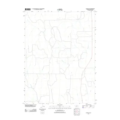
2011 Map of Curtis SW
USGS Topo · Published 2011About this map
Spring Creek and Frazier Creek define the drainage of this sparsely settled portion of Frontier County. The 2011 survey reveals a landscape primarily organized around a network of local roads that trace the section lines of the high plains. This rural character is emphasized by the prominence of the natural waterways and the distinct lack of named settlements or commercial centers, reflecting a persistent agricultural orientation. The map's layout highlights the intersection of natural topography and the human imprint of the grid-system road network common to the Great Plains.
Find a feature on this map
2 named features on this map. Tap any name to fly to it.
Don’t see what you’re looking for? This feature index may not catch every label — zoom into the map to look around manually.
Map Details
Editions of this 2011 Curtis SW Map
This is the sole edition of this map. No revisions or reprints were ever made.
Other maps of this area

1954 · McCook
USGS Topo · 1:250,000

1956 · White NE
USGS Topo · 1:24,000

1956 · Curtis SW
USGS Topo · 1:24,000

1956 · Curtis NW
USGS Topo · 1:24,000

1956 · Quick NE
USGS Topo · 1:24,000

1956 · Curtis
USGS Topo · 1:24,000

1956 · Curtis SE
USGS Topo · 1:24,000

1957 · McCook
USGS Topo · 1:250,000

1958 · McCook
USGS Topo · 1:250,000

1970 · Quick
USGS Topo · 1:24,000