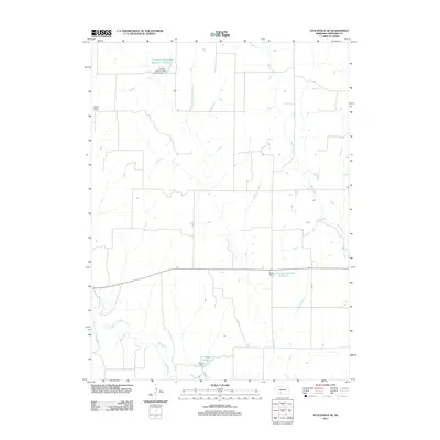
2011 Map of Stockville SE
USGS Topo · Published 2011About this map
Medicine Creek and Deer Creek shape this portion of Frontier County, where the agricultural landscape is defined by its water management and sparse rural infrastructure. The map reveals a systematic approach to irrigation and stock watering through a series of named impoundments, including the Hinton Reservoir Number 1 and the Davis Reservoir, each supported by their respective earthen structures like Hinton Dam and Davis Dam.
Find a feature on this map
12 named features on this map. Tap any name to fly to it.
Don’t see what you’re looking for? This feature index may not catch every label — zoom into the map to look around manually.
Map Details
Editions of this 2011 Stockville SE Map
This is the sole edition of this map. No revisions or reprints were ever made.
Other maps of this area

1902 · Gothenburg
USGS Topo · 1:125,000

1954 · McCook
USGS Topo · 1:250,000

1956 · Freedom
USGS Topo · 1:24,000

1956 · Stockville NE
USGS Topo · 1:24,000

1956 · Moorefield
USGS Topo · 1:24,000

1956 · Medicine Creek Dam
USGS Topo · 1:24,000

1956 · Stockville
USGS Topo · 1:24,000

1956 · Bartley NW
USGS Topo · 1:24,000

1956 · Stockville SE
USGS Topo · 1:24,000

1957 · McCook
USGS Topo · 1:250,000