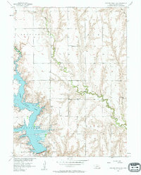
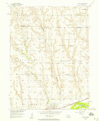
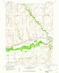
1956 Map of Medicine Creek Dam
USGS Topo · Published 1957About this map
Harry Strunk Lake dominates this mid-century landscape of Frontier County, created by the construction of the Medicine Creek Dam. This survey was conducted as part of the Missouri River Basin development program, illustrating the era's transformation of the Medicine Creek valley. The map documents the rural infrastructure of the mid-1950s, with several local landmarks serving the surrounding farming communities.
Find a feature on this map
19 named features on this map. Tap any name to fly to it.
Don’t see what you’re looking for? This feature index may not catch every label — zoom into the map to look around manually.
Map Details
Editions of this 1956 Medicine Creek Dam Map
This is the sole edition of this map. No revisions or reprints were ever made.
Other maps of this area
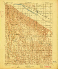
1902 · Gothenburg
USGS Topo · 1:125,000

1954 · McCook
USGS Topo · 1:250,000
1956 · Freedom
USGS Topo · 1:24,000
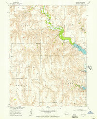
1956 · Cambridge
USGS Topo · 1:24,000
1956 · Bartley
USGS Topo · 1:24,000
1956 · Stockville SE
USGS Topo · 1:24,000

1957 · McCook
USGS Topo · 1:250,000

1958 · McCook
USGS Topo · 1:250,000
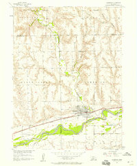
1958 · Holbrook
USGS Topo · 1:24,000
1970 · Eustis SW
USGS Topo · 1:24,000