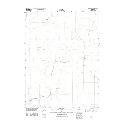
2011 Map of Moorefield
USGS Topo · Published 2011About this map
Moorefield serves as the primary settlement center for this portion of Frontier County, situated near the intersection of several regional thoroughfares including Ash St and Wellington St. The landscape is defined by a series of north-south drainage systems, most notably Dry Creek and Coyote Creek, which have been modified for water management as evidenced by the Elson Detention Dam 1-N and the Elson Detention Reservoir 1-N. To the southwest, the Curtis Municipal Airport and Arrowhead Meadow Golf Course mark the transition toward the neighboring community, while the rugged topography of East Curtis Creek Canyon and Tobiassen Draw underscores the area's natural erosional patterns. Local history is anchored by the Moorefield Post Office and the Moorefield Cemetery, which remain central landmarks for genealogists and researchers tracking the development of this Nebraska agricultural hub.
Find a feature on this map
26 named features on this map. Tap any name to fly to it.
Don’t see what you’re looking for? This feature index may not catch every label — zoom into the map to look around manually.
Map Details
Editions of this 2011 Moorefield Map
This is the sole edition of this map. No revisions or reprints were ever made.
Other maps of this area

1902 · Gothenburg
USGS Topo · 1:125,000

1954 · McCook
USGS Topo · 1:250,000

1956 · Jeffrey Reservoir SW
USGS Topo · 1:24,000

1956 · Stockville NE
USGS Topo · 1:24,000

1956 · Moorefield
USGS Topo · 1:24,000

1956 · Curtis
USGS Topo · 1:24,000

1956 · Curtis SE
USGS Topo · 1:24,000

1956 · Stockville
USGS Topo · 1:24,000

1956 · Wellfleet SE
USGS Topo · 1:24,000

1956 · Stockville SE
USGS Topo · 1:24,000