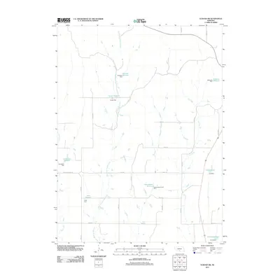
2011 Map of Elwood SW
USGS Topo · Published 2011About this map
East Branch Muddy Creek and Elk Creek define the drainage patterns of this rural Nebraska landscape, where agricultural water management is the primary architectural feature. The terrain is marked by a series of named earthen structures and impoundments, such as Umberger Reservoir and Gruber Reservoir, which appear to be tied to local family landholdings. This collection of water features, including McKenzie Reservoir and Brockmeier Reservoir, illustrates the intensive modification of the prairie to support farming and ranching operations.
Find a feature on this map
35 named features on this map. Tap any name to fly to it.
Don’t see what you’re looking for? This feature index may not catch every label — zoom into the map to look around manually.
Map Details
Editions of this 2011 Elwood SW Map
This is the sole edition of this map. No revisions or reprints were ever made.
Other maps of this area

1896 · Lexington
USGS Topo · 1:125,000

1896 · Arapahoe
USGS Topo · 1:125,000

1898 · Arapahoe
USGS Topo · 1:125,000

1899 · Lexington
USGS Topo · 1:125,000

1902 · Gothenburg
USGS Topo · 1:125,000

1954 · McCook
USGS Topo · 1:250,000

1955 · Grand Island
USGS Topo · 1:250,000

1957 · McCook
USGS Topo · 1:250,000

1957 · Grand Island
USGS Topo · 1:250,000

1958 · McCook
USGS Topo · 1:250,000