2000s (21st Century) Maps of Burwell, Nebraska
Explore 8 historic maps of Burwell from the 2000s (21st Century). These maps offer a rare glimpse into what life looked like during the 2000s — showing old roads, neighborhoods, homes, and landmarks that have changed or disappeared over time.
Whether you're researching your family's past, planning a metal detecting trip, or studying how Burwell's landscape evolved across the 2000s, these high-resolution maps are a powerful tool for exploring the history of this region.
- Focus on a specific era: All maps on this page are from the 2000s, giving you a focused view of this time period.
- See what’s changed: Compare century-old streets, trails, and buildings to today's modern landscape using overlays and satellite layers.
- Research with precision: Use these maps for genealogy, historical research, land use analysis, or educational projects.
- View, download, or print: Maps are fully viewable online in high resolution, and can be downloaded or printed for your own records.
Start exploring Burwell's history through authentic maps from the 2000s. This is your window into the past.
Burwell, NE maps
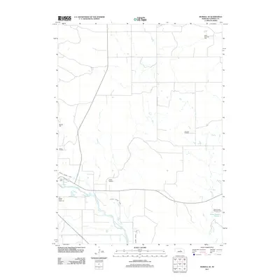
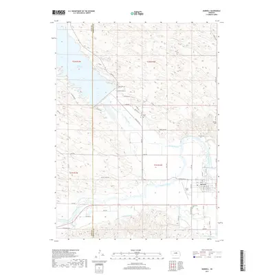
(8)- 2011 Map of Burwell, 2011 Print
 2011 Burwell2011 Print · USGSCovers Burwell, including Rainbow Trailer Court, Garfield County, and other nearby areas
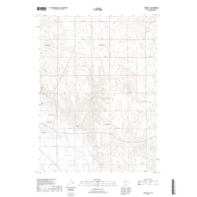
 - 2011 Map of Burwell SE, 2011 Print
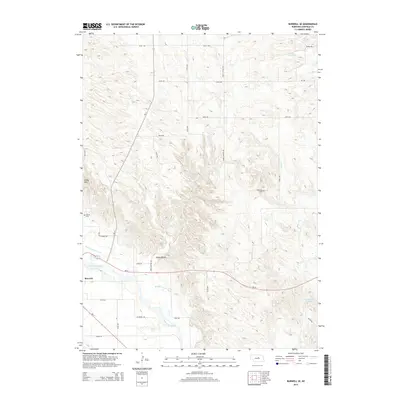
 2011 Burwell SE2011 Print · USGSCovers Burwell, including Garfield County, United States, and other nearby areas
 - 2014 Map of Burwell SE, 2014 Print
 2014 Burwell SE2014 Print · USGSCovers Burwell, including Garfield County, United States, and other nearby areas
 - 2014 Map of Burwell, 2014 Print
 2014 Burwell2014 Print · USGSCovers Burwell, including Rainbow Trailer Court, Garfield County, and other nearby areas
 - 2017 Map of Burwell, 2017 Print
 2017 Burwell2017 Print · USGSCovers Burwell, including Rainbow Trailer Court, Garfield County, and other nearby areas
 - 2017 Map of Burwell SE, 2017 Print
 2017 Burwell SE2017 Print · USGSCovers Burwell, including Garfield County, United States, and other nearby areas
 - 2021 Map of Burwell, 2021 Print
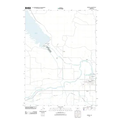
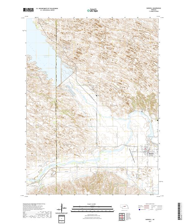 2021 Burwell2021 Print · USGSThe Garfield County seat thrives alongside the North Loup River during this recent survey of Nebraska's Sandhills edge. Genealogists and local historians can trace rural burial sites like Banner Cem or locate the Garfield County Courthouse and Cram Field in town.
 - 2021 Map of Burwell SE, 2021 Print
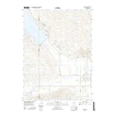
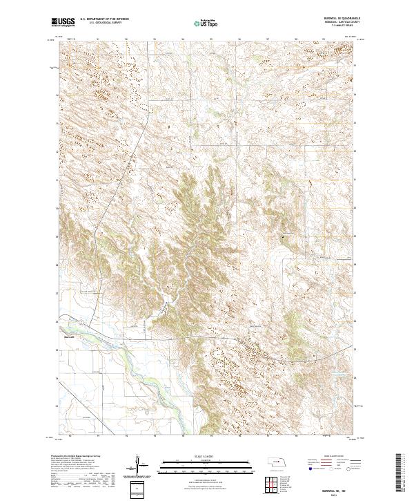 2021 Burwell SE2021 Print · USGSGarfield County settlement and irrigation patterns are on display here in the early twenty-first century. Researchers can locate Burwell near the North Loup River, trace the path of the Burwell-Sumter Canal, or find family records at West Side Cem.
End of results
Showing maps 1-8 of 8
Top cities near Burwell
Top neighborhoods of Burwell
Frequently asked questions
- What are the different types of historical maps available for Burwell?
- What is the oldest map of Burwell?
- Where can I purchase historical maps of Burwell for my home or office?
- Where can I download high-res historical maps of Burwell?
- Are there historical topographic maps available for Burwell?
- Is there historical aerial imagery available for Burwell?
- Where are historical maps of Burwell sourced from?