Old Maps of Burwell, Nebraska for Academic Research
Study the evolution of Burwell with 14 high-resolution historic maps. Whether you're teaching, researching, or modeling changes in land use, these maps provide essential visual documentation of urban, environmental, and geographic change.
- Analyze long-term change: Track patterns in development, transportation, and natural features.
- Ideal for environmental or urban studies: Support academic projects with primary historical map data.
- Use in the classroom or lab: Educators and researchers rely on these maps to bring historical context to life.
These maps are a powerful tool for teaching, research, and visualizing how Burwell has changed over the decades.
Burwell, NE maps
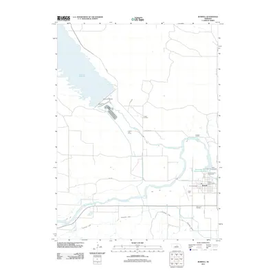
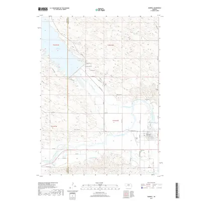
(14)- 1952 Map of Burwell, 1954 Print
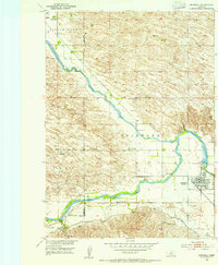 1952 Burwell1954 Print · USGSBurwell and the river valleys of Garfield County are shown in the early fifties as the region's agricultural and irrigation infrastructure matured. Genealogists and historians can trace local rural life through numerous sites like Gideon Sch, Banner Cem, and the Chicago Burlington and Quincy rail line.2 unique versions available
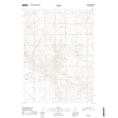
 - 1952 Map of Burwell SE, 1954 Print
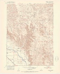 1952 Burwell SE1954 Print · USGSGarfield County in the early fifties shows a landscape of river-valley farming and active prairie school districts. Researchers can trace the path of the Chicago and North Western rail line and locate community landmarks like West Side Cem and Willow Springs Sch.3 unique versions available
 - 1955 Map of Broken Bow
 1955 Broken Bow1955 Print · USGSCentral Nebraska in the mid-fifties is defined by the sweeping Sand Hills and the vital river valleys that supported its ranching and rail towns. Researchers can trace the rail corridors of the Union Pacific RR and locate settlements like Dannebrog, Broken Bow, and Brewster.5 unique versions available
 - 1956 Map of Broken Bow
 1956 Broken Bow1956 Print · USGSCentral Nebraska during the mid-fifties reveals a region defined by its river-valley railroads and the rolling Sand Hills. Genealogists and local historians can trace the paths of the Chicago Burlington and Quincy through towns like Broken Bow, Merna, and Anselmo.
 - 1985 Map of Burwell
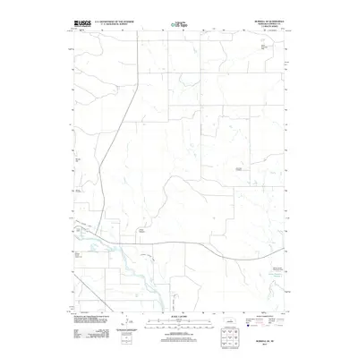
 1985 Burwell1985 Print · USGSCentral Nebraska in the mid-eighties reveals a landscape shaped by the Middle Loup River and the Burlington Northern rail line. Researchers can trace the layout of small towns like Sargent, Anselmo, and Burwell or locate New Helena and Victoria Springs State Recreation Area.
 - 1994 Map of Burwell
 1994 Burwell1994 Print · USGSThe Nebraska Sandhills region is captured here in the mid-nineties, showing a landscape shaped by the Loup River systems and vital irrigation networks. Researchers can trace the development of small towns like Burwell and Brewster or locate landmarks like the Milburn Diversion Dam.
 - 2011 Map of Burwell, 2011 Print
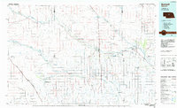
 2011 Burwell2011 Print · USGSCovers Burwell, including Rainbow Trailer Court, Garfield County, and other nearby areas
 - 2011 Map of Burwell SE, 2011 Print
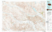
 2011 Burwell SE2011 Print · USGSCovers Burwell, including Garfield County, United States, and other nearby areas
 - 2014 Map of Burwell SE, 2014 Print
 2014 Burwell SE2014 Print · USGSCovers Burwell, including Garfield County, United States, and other nearby areas
 - 2014 Map of Burwell, 2014 Print
 2014 Burwell2014 Print · USGSCovers Burwell, including Rainbow Trailer Court, Garfield County, and other nearby areas
 - 2017 Map of Burwell, 2017 Print
 2017 Burwell2017 Print · USGSCovers Burwell, including Rainbow Trailer Court, Garfield County, and other nearby areas
 - 2017 Map of Burwell SE, 2017 Print
 2017 Burwell SE2017 Print · USGSCovers Burwell, including Garfield County, United States, and other nearby areas
 - 2021 Map of Burwell, 2021 Print
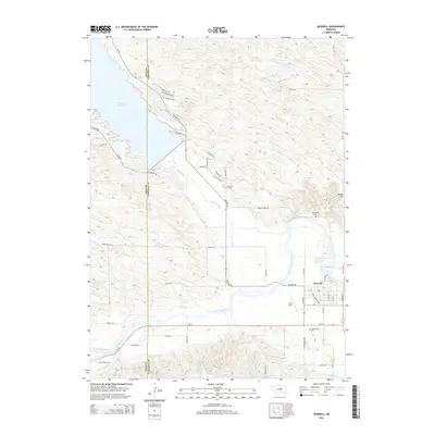
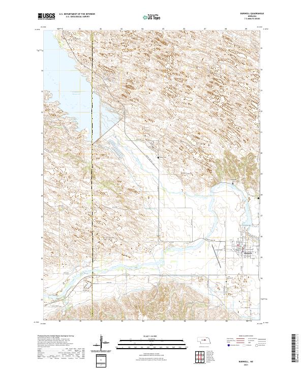 2021 Burwell2021 Print · USGSThe Garfield County seat thrives alongside the North Loup River during this recent survey of Nebraska's Sandhills edge. Genealogists and local historians can trace rural burial sites like Banner Cem or locate the Garfield County Courthouse and Cram Field in town.
 - 2021 Map of Burwell SE, 2021 Print
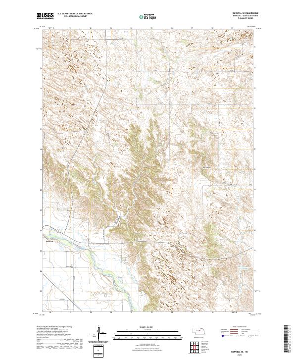 2021 Burwell SE2021 Print · USGSGarfield County settlement and irrigation patterns are on display here in the early twenty-first century. Researchers can locate Burwell near the North Loup River, trace the path of the Burwell-Sumter Canal, or find family records at West Side Cem.
End of results
Showing maps 1-14 of 14
Top cities near Burwell
Top neighborhoods of Burwell
Frequently asked questions
- What are the different types of historical maps available for Burwell?
- What is the oldest map of Burwell?
- Where can I purchase historical maps of Burwell for my home or office?
- Where can I download high-res historical maps of Burwell?
- Are there historical topographic maps available for Burwell?
- Is there historical aerial imagery available for Burwell?
- Where are historical maps of Burwell sourced from?