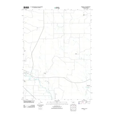
2011 Map of Burwell SE
USGS Topo · Published 2011About this map
The North Loup River winds through this Nebraska landscape, defining a corridor of agricultural and civic activity southeast of the county seat. This 2011 survey illustrates the intricate water management systems of the region, including the Burwell Sumter Canal, the Millar Diversion Dam, and the Alfred James Detention Dam. These features reveal how the local geography has been adapted for irrigation and water storage, with James Reservoir Number 1 and Bean Creek supporting the rural economy.
Find a feature on this map
14 named features on this map. Tap any name to fly to it.
Don’t see what you’re looking for? This feature index may not catch every label — zoom into the map to look around manually.
Map Details
Editions of this 2011 Burwell SE Map
This is the sole edition of this map. No revisions or reprints were ever made.
Other maps of this area

1952 · Burwell
USGS Topo · 1:24,000

1952 · Elyria
USGS Topo · 1:24,000

1952 · Burwell SE
USGS Topo · 1:24,000

1952 · Burwell NE
USGS Topo · 1:24,000

1952 · Comstock NW
USGS Topo · 1:24,000

1952 · Burwell NW
USGS Topo · 1:24,000

1954 · Gables SW
USGS Topo · 1:24,000

1954 · Ord NW
USGS Topo · 1:24,000

1954 · Gables NW
USGS Topo · 1:24,000

1955 · Broken Bow
USGS Topo · 1:250,000