Old Maps of Harlan County, Nebraska for Genealogy
Trace your family roots with 82 historic maps of Harlan County. These high-res maps reveal old neighborhoods, homesites, landmarks, and streets — helping you uncover where your ancestors lived and how the area evolved over time.
- Explore historic neighborhoods: Identify where your relatives may have lived in the 1800s or 1900s.
- Compare maps over time: Trace the changes in streets, buildings, and landmarks for multi-generational research.
- Perfect for genealogy & ancestry research: Used by family historians and researchers to map out lineage and migration.
These maps are an incredible resource for exploring your personal connection to Harlan County's past.
Harlan County, NE maps
(82)- 1896 Map of Holdrege
 1896 Holdrege1896 Print · USGSSouth-central Nebraska was a burgeoning network of rail towns and river settlements in the late nineteenth century. Genealogists can trace family roots along the Republican River valley in Alma, Bloomington, and Naponee, or explore the early growth of Holdrege as a vital railroad junction.5 unique versions available
 - 1896 Map of Arapahoe
 1896 Arapahoe1896 Print · USGSThe Republican River valley thrived in the 1890s as a vital railroad corridor through south-central Nebraska and northern Kansas. Genealogists and local historians can trace the early rail stops and rural precincts like Arapahoe, Oxford, and the remote Rock Falls district.3 unique versions available
 - 1898 Map of Arapahoe, 1920 Print
 1898 Arapahoe1920 Print · USGSSouthwestern Nebraska was rapidly developing at the turn of the century as railroads mirrored the river valleys. Genealogists can trace family roots in towns like Arapahoe, Beaver City, and Oxford or locate landmarks like Rock Falls.2 unique versions available
 - 1955 Map of Grand Island, 1967 Print
 1955 Grand Island1967 Print · USGSCentral Nebraska is seen here during a period of industrial and agricultural growth, centered on the vital Platte River corridor. Researchers can trace the mid-century footprints of the U S Naval Ammunition Depot and the Cornhusker Ordnance Plant.3 unique versions available
 - 1957 Map of Grand Island
 1957 Grand Island1957 Print · USGSCentral Nebraska and Northern Kansas are shown here during a period of massive hydraulic and military expansion in the mid-fifties. Researchers can trace the development of the Harlan County Reservoir and the massive wartime legacy of the Cornhusker Ordnance Plant.
 - 1957 Map of Precept, 1958 Print
 1957 Precept1958 Print · USGSFurnas County, Nebraska, near the Kansas state line is captured here in the late fifties as a landscape of established farmsteads and rural precincts. Genealogists can trace the exact locations of local landmarks like the Precept Sch, Bethel Ch, and Maple Creek Cem.
 - 1957 Map of Stamford SE, 1958 Print
 1957 Stamford SE1958 Print · USGSHarlan County, Nebraska, and northern Kansas appear in the late 1950s as a landscape of established prairie farms and rural school districts. Genealogists and historians can trace family locations near Home Cem, the Lutheran Cem, and the high point of Sappa Peak.2 unique versions available
 - 1958 Map of Grand Island
 1958 Grand Island1958 Print · USGSSouth-central Nebraska thrived as a rail and industrial hub during the late fifties, shaped by the braided Platte River. Genealogists and historians can trace rail lines like the Union Pacific RR through towns such as Kearney or locate the sprawling Cornhusker Ordnance Plant.
 - 1958 Map of Hollinger, 1959 Print
 1958 Hollinger1959 Print · USGSFurnas County during the late fifties reveals a landscape of prairie agriculture and rail-side villages. Genealogists and historians can trace the Chicago Burlington and Quincy line through Hollinger or locate burials at Turner Cemetery.
 - 1958 Map of Stamford, 1959 Print
 1958 Stamford1959 Print · USGSHarlan County in the late fifties was a landscape of river-bottom farms and vital rail connections along the Republican River. Genealogists and local historians can trace the precise locations of rural landmarks like Carter Cem, School No 80, and the rail siding at Flynn Junction.
 - 1958 Map of Mascot, 1960 Print
 1958 Mascot1960 Print · USGSSouth-central Nebraska's rolling hills and township grids are captured here during the late fifties, showcasing the rural heart of the Missouri River Basin. Genealogists can locate Mascot and Oxford or trace family roots at Spring Grove Cem and Oxford Cem.2 unique versions available
 - 1958 Map of Oxford, 1960 Print
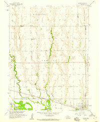 1958 Oxford1960 Print · USGSOxford and the Republican River valley are captured in the late fifties, showing a landscape defined by irrigation and rail. Genealogists can locate family-named sites such as Kellner Cem and several country schools including Hardscrabble Sch and Buffalo Sch.
 - 1970 Map of Wilcox, 1972 Print
 1970 Wilcox1972 Print · USGSIn the early 1970s, the rural junction of Kearney and Phelps counties featured a landscape of conservation basins and rail corridors. Researchers can locate the Freewater Cem and St Johns Cem, or trace the path of the Burlington Northern and an Old Railroad Grade.
 - 1970 Map of Ragan, 1972 Print
 1970 Ragan1972 Print · USGSThe rural uplands of south-central Nebraska are captured here in the early 1970s, centered on the village of Ragan. Researchers can trace local genealogy and land use through landmarks like Antelope Cem, Immanuel Ch, and the Burlington Northern rail corridor.
 - 1970 Map of Atlanta, 1973 Print
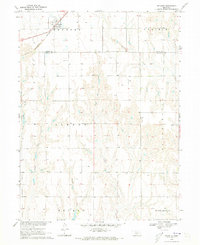 1970 Atlanta1973 Print · USGSThe rural landscape near the Phelps and Harlan county line is captured here in the early 1970s. Local researchers can trace the Burlington Northern rail line through Atlanta and locate the Bethel Ch near Flag Creek.
 - 1973 Map of Orleans, 1977 Print
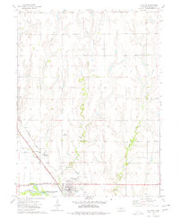 1973 Orleans1977 Print · USGSOrleans and the Republican River valley are documented here in the early seventies, showing a landscape defined by irrigation and rail. Researchers can trace the Burlington Northern line, locate Calvary Cemetery, or find the small settlement at Wienand.
 - 1974 Map of Republican City, 1977 Print
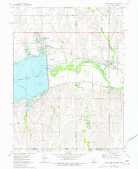 1974 Republican City1977 Print · USGSRepublican City and the surrounding valley are shown here in the mid-1970s, as the landscape adjusted to the presence of Harlan County Lake. You can trace the Burlington Northern railroad, find the old town site of Naponee, and locate the Old RR Grade along the river.
 - 1974 Map of Alma SW, 1977 Print
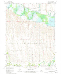 1974 Alma SW1977 Print · USGSThe Republican River valley meets the Kansas border in the mid-1970s, shortly after the landscape was transformed by the waters of Harlan County Lake. Genealogists and local historians can trace the paths of Sappa Creek and the Burlington Northern rail line through Orleans.
 - 1974 Map of Alma, 1977 Print
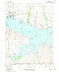 1974 Alma1977 Print · USGSThe town of Alma and the waters of Harlan County Lake define this mid-seventies look at the Nebraska-Kansas border. Researchers can trace the Old Railroad Grade and Burlington Northern lines or locate the Republican City Cem.
 - 1974 Map of Huntley, 1977 Print
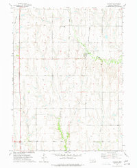 1974 Huntley1977 Print · USGSHuntley and the surrounding Harlan County plains are captured in the mid-seventies during a period of evolving rail infrastructure. Researchers can trace the path of the Old Grade Railroad or locate family roots near Bainbridge Cem and Huntley.
 - 1974 Map of Republican City NW, 1977 Print
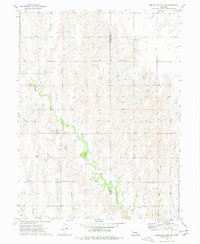 1974 Republican City NW1977 Print · USGSHarlan and Franklin counties are captured in the mid-1970s, showcasing a landscape of creek-side farming and prairie life. Researchers can locate family landmarks like Zion Cem, St Pauls Ch, and the winding path of Turkey Creek.
 - 1986 Map of Holdrege
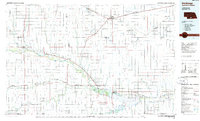 1986 Holdrege1986 Print · USGSSouthern Nebraska and the Kansas borderlands appear here in the mid-eighties as a region defined by river valleys and rail-connected agricultural hubs. Trace local history through settlements like Republican City, the Prairie Home Cem, and the waters of Harlan County Lake.2 unique versions available
 - 2011 Map of Ragan, 2011 Print
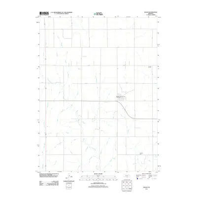 2011 Ragan2011 Print · USGSThe rural prairie landscape around Ragan is captured here during the early twenty-first century, showing a region defined by agricultural grids and creek beds. Researchers can locate the Ragan Post Office, Antelope Cemetery, and several family-named landmarks like Hoffman Dam.
 - 2011 Map of Hollinger, 2011 Print
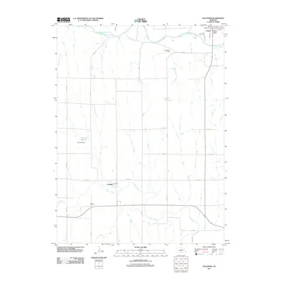 2011 Hollinger2011 Print · USGSOxford and its surrounding farmland are captured here in the early twenty-first century as the Republican River continues to shape the local geography. Family historians can locate the Turner Cemetery and trace the area around Hollinger or the Oxford Post Office.
 - 2011 Map of Wilcox, 2011 Print
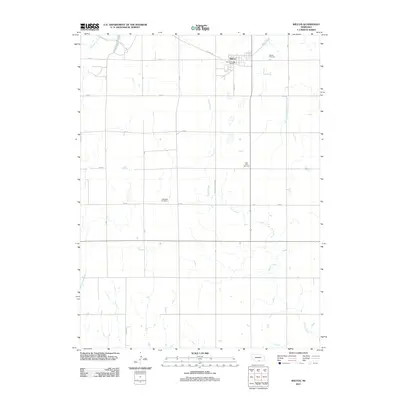 2011 Wilcox2011 Print · USGSWilcox and the surrounding Nebraska plains are captured here in the early twenty-first century as a well-ordered agricultural landscape. Genealogists can locate several local burying grounds, such as Saint Johns Cemetery and Freewater Cemetery, along the rural 725 Rd corridors.
Showing maps 1-25 of 82
Top cities of Harlan County
- Alma historical maps
- Orleans historical maps
- Stamford historical maps
- Republican City historical maps
- Huntley historical maps
- Ragan historical maps
Frequently asked questions
- What are the different types of historical maps available for Harlan County?
- What is the oldest map of Harlan County?
- Where can I purchase historical maps of Harlan County for my home or office?
- Where can I download high-res historical maps of Harlan County?
- Are there historical topographic maps available for Harlan County?
- Is there historical aerial imagery available for Harlan County?
- Where are historical maps of Harlan County sourced from?