Old Maps of Mullen, Nebraska for Hiking & Exploration
Hike through history with 10 historic maps of Mullen. Explore old trails, ghost towns, and forgotten backroads — perfect for outdoor adventurers and local explorers.
- Rediscover forgotten places: Map out old mining camps, roads, and footpaths that no longer exist on modern maps.
- Layer with modern tools: Combine with LiDAR or satellite views to plan hikes through historical terrain.
- Made for exploration: Popular among hikers, overlanders, and local history lovers.
Use these maps to find adventure and explore the hidden past of Mullen.
Mullen, NE maps
(10)- 1948 Map of Mullen, 1967 Print
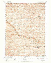 1948 Mullen1967 Print · USGSMullen and the surrounding Sandhills are captured in the late 1940s, showing a landscape shaped by ranching and the Chicago Burlington and Quincy line. Trace early schools and settlements like Hecla, Cherry Sch, and Reigle Sch.
 - 1951 Map of Mullen
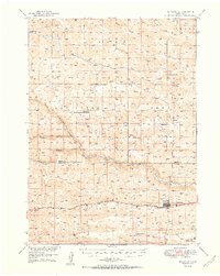 1951 Mullen1951 Print · USGSHooker County ranching country and the Sandhills are documented here just after the war, centered on the vital rail and river hub at Mullen. Genealogists and local historians can trace rural school districts like Delight Sch and Prentice Sch or follow the Chicago Burlington and Quincy line to Hecla.2 unique versions available
 - 1957 Map of Valentine, 1960 Print
 1957 Valentine1960 Print · USGSNorthern Nebraska's ranching country and the vast Sand Hills are detailed here in the late fifties. Genealogists and historians can locate numerous family-named landmarks like the Dahlgren Ranch and trace the path of the Chicago and North Western railroad through Valentine.3 unique versions available
 - 1959 Map of Valentine
 1959 Valentine1959 Print · USGSThe northern Nebraska Sand Hills are captured here in the late fifties, showcasing a vast ranching landscape shaped by the Niobrara and Loup rivers. Genealogists and historians can trace rail-town development along the Chicago and North Western and locate remote outposts like Brownlee or Kennedy.
 - 1985 Map of Mullen
 1985 Mullen1985 Print · USGSSettlement in the Nebraska Sandhills followed the rail and river corridors during the mid-twentieth century. Trace the Burlington Northern line through Mullen and Hyannis, or locate family-named landmarks like James Valley and Betsy Creek.2 unique versions available
 - 1988 Map of Mullen
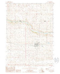 1988 Mullen1988 Print · USGSThe ranching community of Mullen is captured here in the late eighties, centered on its vital rail and river connections. Genealogists and local historians can trace the town's footprint near the Middle Loup River, the Cem, and the Lee Boyer Ranch.
 - 2011 Map of Mullen, 2011 Print
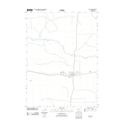 2011 Mullen2011 Print · USGSCovers Mullen, including Hooker County, Cherry County, and other nearby areas
 - 2014 Map of Mullen, 2014 Print
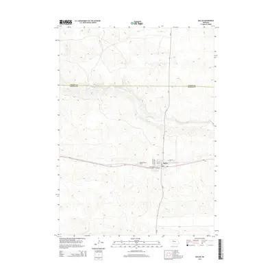 2014 Mullen2014 Print · USGSCovers Mullen, including Hooker County, Cherry County, and other nearby areas
 - 2017 Map of Mullen, 2017 Print
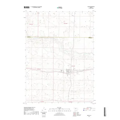 2017 Mullen2017 Print · USGSCovers Mullen, including Hooker County, Cherry County, and other nearby areas
 - 2021 Map of Mullen, 2021 Print
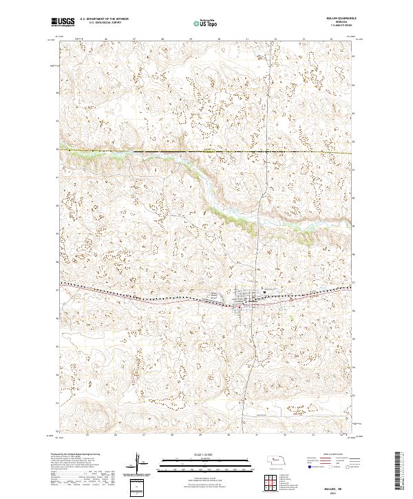 2021 Mullen2021 Print · USGSMullen and the surrounding Sandhills landscape come into focus in this recent survey of Hooker County. Local historians can trace the town’s civic layout from the Hooker County Courthouse to Cedarview Cem and the banks of the Middle Loup River.
End of results
Showing maps 1-10 of 10
Top cities near Mullen
Frequently asked questions
- What are the different types of historical maps available for Mullen?
- What is the oldest map of Mullen?
- Where can I purchase historical maps of Mullen for my home or office?
- Where can I download high-res historical maps of Mullen?
- Are there historical topographic maps available for Mullen?
- Is there historical aerial imagery available for Mullen?
- Where are historical maps of Mullen sourced from?