2021 Map of Mullen
USGS Topo · Published 2021About this map
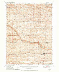
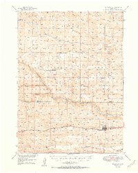
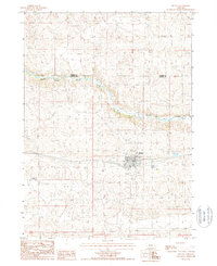
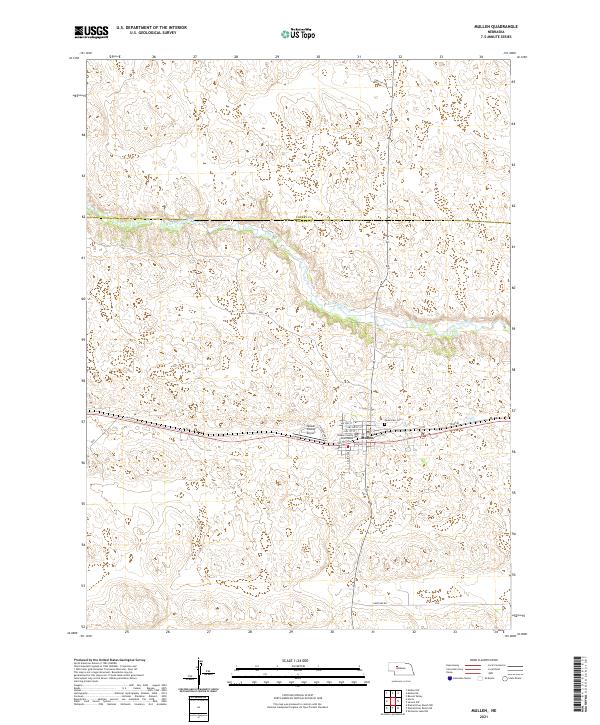
Mullen serves as the focal point of this Nebraska Sandhills survey, situated where the high plains terrain meets the winding course of the Middle Loup River. The town's civic heart is anchored by the Hooker County Courthouse, while its connection to the wider region is maintained through the Hooker County Airport and a network of section roads like Heritage Rd. To the east of the central settlement, Cedarview Cem provides a point of interest for genealogists tracing local families in the area. The landscape reflects the traditional Nebraska cattle country grid, with remnants of older transportation routes like Old Hwy 2 running parallel to the modern corridor. The map effectively documents the intersection of essential rural infrastructure and the natural drainage patterns of the river valley.
Find a feature on this map
23 named features on this map. Tap any name to fly to it.
Don’t see what you’re looking for? This feature index may not catch every label — zoom into the map to look around manually.
Map Details
Editions of this 2021 Mullen Map
This is the sole edition of this map. No revisions or reprints were ever made.
Historical Maps of Mullen Through Time
5 maps found