Old Maps of Jefferson County, Nebraska for Academic Research
Study the evolution of Jefferson County with 65 high-resolution historic maps. Whether you're teaching, researching, or modeling changes in land use, these maps provide essential visual documentation of urban, environmental, and geographic change.
- Analyze long-term change: Track patterns in development, transportation, and natural features.
- Ideal for environmental or urban studies: Support academic projects with primary historical map data.
- Use in the classroom or lab: Educators and researchers rely on these maps to bring historical context to life.
These maps are a powerful tool for teaching, research, and visualizing how Jefferson County has changed over the decades.
Jefferson County, NE maps
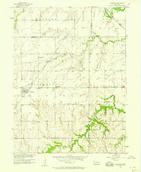
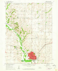
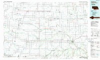
(65)- 1955 Map of Lincoln, 1967 Print
 1955 Lincoln1967 Print · USGSSoutheast Nebraska in the mid-fifties presents a landscape of thriving railroad towns and the expanding footprint of the capital city. Researchers can trace the legacy of the pioneer era at the Homestead National Monument of America or locate mid-century military infrastructure like Lincoln Air Force Base.5 unique versions available
 - 1957 Map of Lincoln
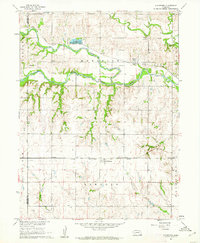
 1957 Lincoln1957 Print · USGSSoutheastern Nebraska at mid-century shows a landscape of thriving rail towns and expanding infrastructure centered on Lincoln. Researchers can trace the path of the Chicago Burlington and Quincy railroad through communities like Weeping Water, Fairmont, and Seward.
 - 1957 Map of Plymouth, 1958 Print
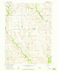
 1957 Plymouth1958 Print · USGSThe prairie landscape surrounding Plymouth is captured here in the late fifties, showcasing a dense network of rural schools and active railroads. Genealogists can locate specific family landmarks like Woodlawn Cem, School No 112, and the Chicago Rock Island and Pacific rail line.2 unique versions available
 - 1958 Map of Lincoln
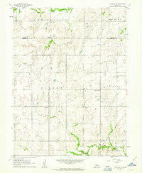
 1958 Lincoln1958 Print · USGSSoutheast Nebraska at the end of the 1950s shows a region defined by agricultural trade and the expansion of the state capital. Genealogists can trace family footprints across the Blue Valley and locate landmarks like the Lincoln AFB or the U.S. Veterans Hospital.
 - 1960 Map of Fairbury SW, 1961 Print
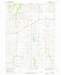
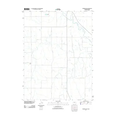
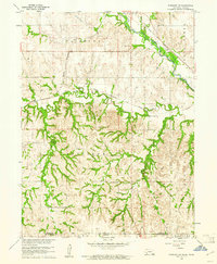 1960 Fairbury SW1961 Print · USGSThe Jefferson County borderlands at the start of the 1960s reveal a landscape of rural schools and intersecting rail lines. Genealogists and historians can trace family roots through landmarks like Silver Creek Cem, Pleasant Valley Sch, and the Little Blue River valley.
 - 1960 Map of Reynolds, 1961 Print
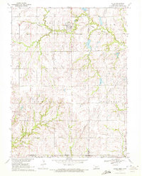
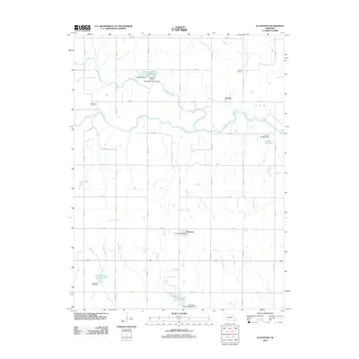
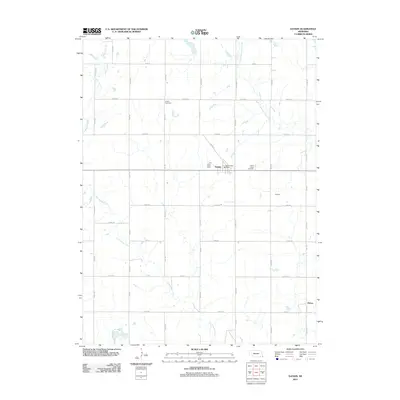
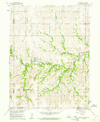 1960 Reynolds1961 Print · USGSJefferson County at the dawn of the sixties shows a landscape of rural school districts and dual rail lines. Genealogists can trace family footprints near Reynolds and Rose Creek Cem, or follow the path of the Chicago Burlington and Quincy railroad.2 unique versions available
 - 1960 Map of Western SW, 1962 Print
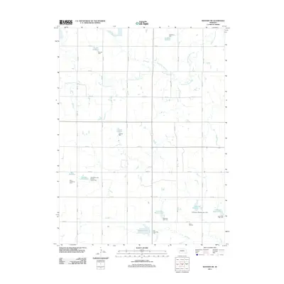
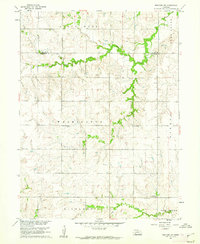 1960 Western SW1962 Print · USGSJefferson County farm country is captured here in the early 1960s as a landscape of small schools and creek-side settlements. Trace the locations of rural landmarks like Victory Sch, Immanuel Ch, and Bower Cem across the prairie.
 - 1960 Map of Fairbury, 1962 Print
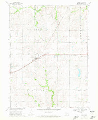
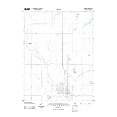
 1960 Fairbury1962 Print · USGSFairbury and the surrounding Jefferson County townships are shown here during the early sixties as a bustling rail and agricultural center. Researchers can locate numerous vanished country schools like Happy Hollow School, trace the path of the Union Pacific, and find family names at Grandy Cemetery.2 unique versions available
 - 1960 Map of Gladstone, 1962 Print
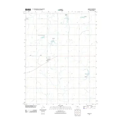
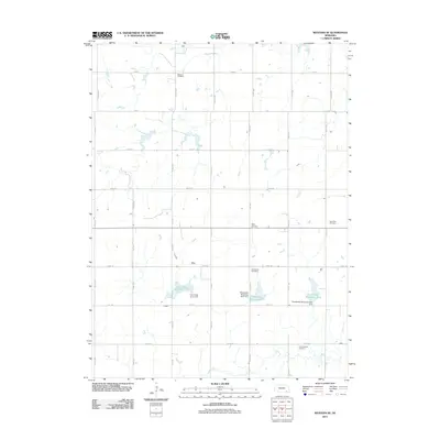
 1960 Gladstone1962 Print · USGSJefferson County in the early sixties was a landscape of fertile river bottoms and steady rail commerce. Researchers can trace family history through the Powell Cem, see the rural Pleasant Hill Sch, and locate the old rail siding at Gladstone.
 - 1960 Map of Daykin, 1962 Print
 1960 Daykin1962 Print · USGSJefferson County farming communities and rail sidings are frozen in time during the early sixties. Genealogists can trace family farmsteads near Daykin and Helvey, or locate rural burials at Eureka Cem and St Johns Cem.
 - 1961 Map of Western SE, 1963 Print
 1961 Western SE1963 Print · USGSJefferson and Saline counties come together in this early 1960s survey of the Nebraska prairie. Genealogists can trace family names through Swanton Cem, Old Plymouth Cem, and School No 17 along the Swan Creek drainage.
 - 1970 Map of Harbine, 1972 Print
 1970 Harbine1972 Print · USGSHarbine and Ellis sit at the Jefferson and Gage County line in the early 1970s as the railroad still defines the rural landscape. Genealogists can trace family names through the Harbine Cemetery, Hope Church, and rural Zion School.
 - 1970 Map of Endicott, 1972 Print
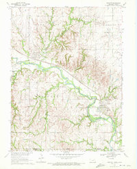 1970 Endicott1972 Print · USGSThe Little Blue River valley during the early seventies serves as a hub for both rail and river commerce along the Nebraska-Kansas border. Researchers can trace industrial sites like the Kilns and Claypit alongside the Burlington Northern line and Steele City Cem.
 - 1970 Map of Diller, 1972 Print
 1970 Diller1972 Print · USGSThe Nebraska-Kansas border comes into focus in the early 1970s, centered on the railroad town of Diller. Researchers can trace the rural landscape across state lines to find the Evangelical Ch, the Pleasant View Sch, and the rail siding at Lanham.
 - 1970 Map of Jansen, 1972 Print
 1970 Jansen1972 Print · USGSJansen and the surrounding Jefferson County townships are captured here in the early seventies, centered on the diagonal corridor of the Chicago Rock Island and Pacific railroad. Genealogists can locate family landmarks like the Mennonite Ch, Grandy Sch, and Bartel Cem.2 unique versions available
 - 1985 Map of Fairbury
 1985 Fairbury1985 Print · USGSThe borderlands of Nebraska and Kansas thrive as a rail and agricultural hub in the mid-1980s. Genealogists and historians can trace local family lands near Fairbury or follow the historic Burlington Northern tracks through Hebron and Deshler.2 unique versions available
 - 1986 Map of Beatrice
 1986 Beatrice1986 Print · USGSSoutheast Nebraska and the Kansas borderlands appear in the mid-1980s as a thriving agricultural region centered on the Big Blue River. Researchers can trace historic rail routes like the Burlington Northern through hubs such as Beatrice and Pawnee City.2 unique versions available
 - 2011 Map of Jansen, 2011 Print
 2011 Jansen2011 Print · USGSCovers Jefferson County, including Jansen, United States, and other nearby areas
 - 2011 Map of Gladstone, 2011 Print
 2011 Gladstone2011 Print · USGSCovers Jefferson County, including Powell, Gladstone, and other nearby areas
 - 2011 Map of Fairbury, 2011 Print
 2011 Fairbury2011 Print · USGSCovers Jefferson County, including Fairbury, Hedrix, and other nearby areas
 - 2011 Map of Western SW, 2011 Print
 2011 Western SW2011 Print · USGSCovers Jefferson County, including Saline County, United States, and other nearby areas
 - 2011 Map of Daykin, 2011 Print
 2011 Daykin2011 Print · USGSCovers Jefferson County, including Daykin, Helvey, and other nearby areas
 - 2011 Map of Fairbury SW, 2011 Print
 2011 Fairbury SW2011 Print · USGSCovers Jefferson County, including Washington County, United States, and other nearby areas
 - 2011 Map of Western SE, 2011 Print
 2011 Western SE2011 Print · USGSCovers Jefferson County, including Saline County, United States, and other nearby areas
 - 2011 Map of Reynolds, 2011 Print
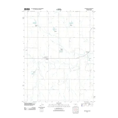 2011 Reynolds2011 Print · USGSCovers Jefferson County, including Reynolds, Thompson, and other nearby areas
Showing maps 1-25 of 65
Top cities of Jefferson County
- Fairbury historical maps
- Plymouth historical maps
- Diller historical maps
- Daykin historical maps
- Jansen historical maps
- Endicott historical maps
See more
Frequently asked questions
- What are the different types of historical maps available for Jefferson County?
- What is the oldest map of Jefferson County?
- Where can I purchase historical maps of Jefferson County for my home or office?
- Where can I download high-res historical maps of Jefferson County?
- Are there historical topographic maps available for Jefferson County?
- Is there historical aerial imagery available for Jefferson County?
- Where are historical maps of Jefferson County sourced from?