2000s (21st Century) Maps of Jefferson County, Nebraska
Explore 48 historic maps of Jefferson County from the 2000s (21st Century). These maps offer a rare glimpse into what life looked like during the 2000s — showing old roads, neighborhoods, homes, and landmarks that have changed or disappeared over time.
Whether you're researching your family's past, planning a metal detecting trip, or studying how Jefferson County's landscape evolved across the 2000s, these high-resolution maps are a powerful tool for exploring the history of this region.
- Focus on a specific era: All maps on this page are from the 2000s, giving you a focused view of this time period.
- See what’s changed: Compare century-old streets, trails, and buildings to today's modern landscape using overlays and satellite layers.
- Research with precision: Use these maps for genealogy, historical research, land use analysis, or educational projects.
- View, download, or print: Maps are fully viewable online in high resolution, and can be downloaded or printed for your own records.
Start exploring Jefferson County's history through authentic maps from the 2000s. This is your window into the past.
Jefferson County, NE maps
(48)- 2011 Map of Jansen, 2011 Print
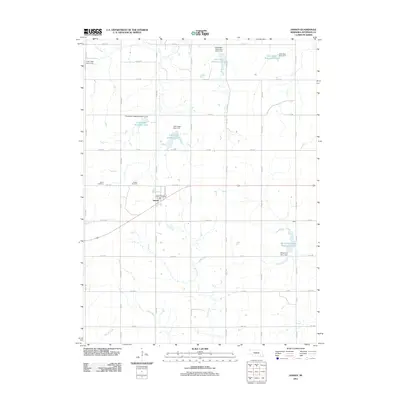 2011 Jansen2011 Print · USGSThe village of Jansen sits at the heart of this Jefferson County landscape in the early twenty-first century. Genealogists and local historians can locate the Jansen Cemetery, the Bartel Cemetery, and tracing the waters of Cub Creek and Rock Creek.
 - 2011 Map of Gladstone, 2011 Print
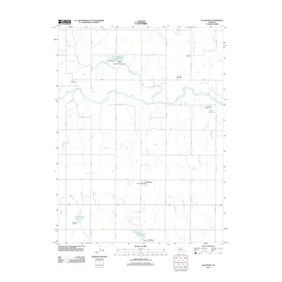 2011 Gladstone2011 Print · USGSJefferson County's rural character and water management systems are on full display in this early twenty-first-century survey. Genealogists and historians can locate the Meridian Cemetery, trace the winding Little Blue River, and find the local Gladstone Post Office.
 - 2011 Map of Fairbury, 2011 Print
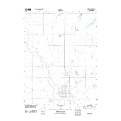 2011 Fairbury2011 Print · USGSThe Little Blue River valley and Fairbury are shown here during the early twenty-first century, detailing a landscape defined by flood control and civic infrastructure. Genealogists and local historians can locate Richland Center Cemetery, Crystal Springs Campground, and the Jefferson County Fairground.
 - 2011 Map of Western SW, 2011 Print
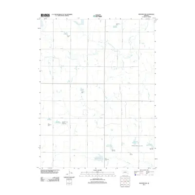 2011 Western SW2011 Print · USGSSaline County agricultural lands are shown here in the early 21st century, defined by an intricate network of watershed management. Researchers can locate the Bower Cemetery and trace family-named landmarks like Herz Reservoir or Murphy Dam.
 - 2011 Map of Daykin, 2011 Print
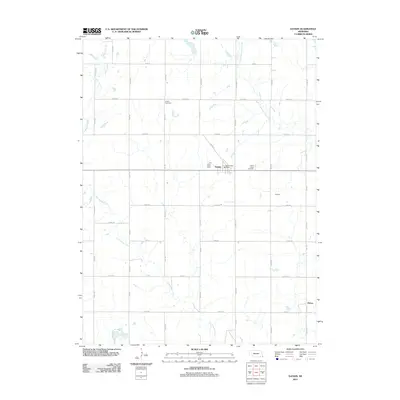 2011 Daykin2011 Print · USGSJefferson County agricultural life is preserved here in the early twenty-first century, showing the grid-based rural landscape. Genealogists can locate family sites near Eureka Cemetery, Saint Johns Cemetery, and the village of Daykin.
 - 2011 Map of Fairbury SW, 2011 Print
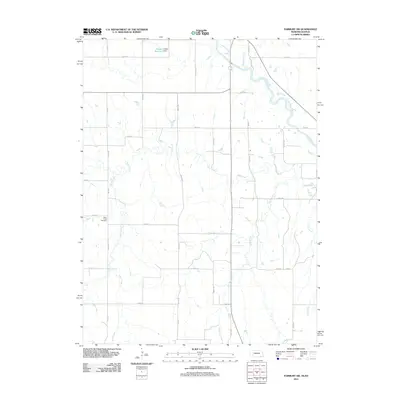 2011 Fairbury SW2011 Print · USGSJefferson County and the surrounding borderlands are captured here in the early twenty-first century, showcasing a rural landscape structured by its creek beds. Genealogists can locate Silver Creek Cemetery and trace local water features like Haake Reservoir and the Little Blue River.
 - 2011 Map of Western SE, 2011 Print
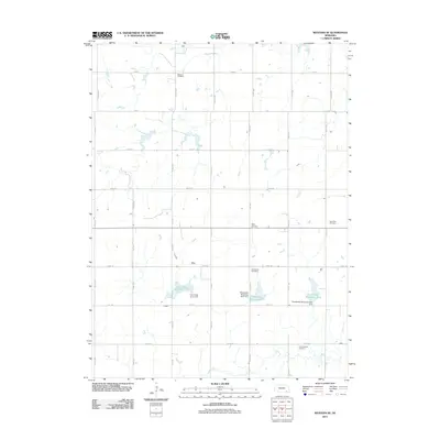 2011 Western SE2011 Print · USGSSaline County’s agricultural heartland is captured here in the early twenty-first century, showing a landscape defined by sectional farming and water management. Genealogists and local historians can locate several rural burial grounds, including Old Plymouth Cemetery, Swanton Cemetery, and Saint Paul Cemetery.
 - 2011 Map of Reynolds, 2011 Print
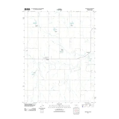 2011 Reynolds2011 Print · USGSThe village of Reynolds and the rural reaches of Jefferson County appear here in the early twenty-first century, showing a landscape shaped by hydrology and agriculture. Genealogists and local historians can locate the Rose Cemetery, the Reynolds Post Office, and the small settlement of Thompson.
 - 2011 Map of Endicott, 2011 Print
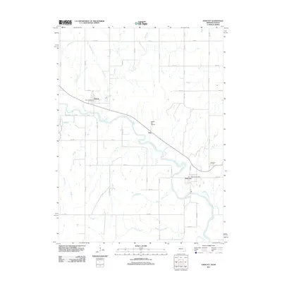 2011 Endicott2011 Print · USGSJefferson County at the start of the 2010s reveals a landscape shaped by the Little Blue River and its many tributaries. Genealogists and local historians can locate the Steele City Cemetery and trace the small communities around the Endicott Post Office and Rudy.
 - 2011 Map of Harbine, 2011 Print
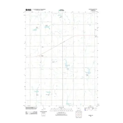 2011 Harbine2011 Print · USGSJefferson County agricultural land at the start of the 2010s shows a landscape defined by watershed management and pioneer roots. Genealogists can locate family sites near Hope Church Cemetery, Harbine, and the water works at Cub Creek Reservoir G-7.
 - 2011 Map of Diller, 2011 Print
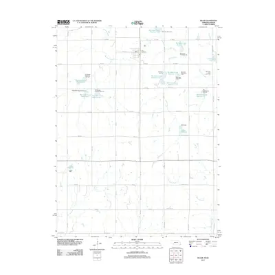 2011 Diller2011 Print · USGSIn the early twenty-first century, the area around Diller reveals a landscape meticulously shaped by water management and rural road networks near the Kansas border. Genealogists and local historians can locate the Diller Post Office and trace named water features like Callan Reservoir and Arrowhead Lake.
 - 2011 Map of Plymouth, 2011 Print
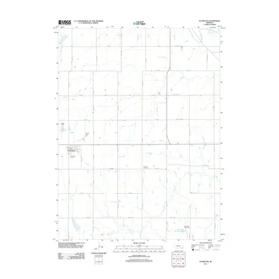 2011 Plymouth2011 Print · USGSPlymouth and the surrounding Jefferson County farmland are documented here during the early twenty-first century. Genealogists and local researchers can locate family sites near Woodlawn Cemetery, the Kilpatrick Cemetery, and the Plymouth Post Office.
 - 2014 Map of Harbine, 2014 Print
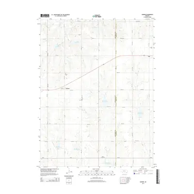 2014 Harbine2014 Print · USGSJefferson and Gage counties appear here in the early twenty-first century, showing a landscape defined by traditional section roads and modern reservoirs. Genealogists and local historians can locate family burial sites at Harbine Cem, Hope Church Cem, and Ellis Cem.
 - 2014 Map of Diller, 2014 Print
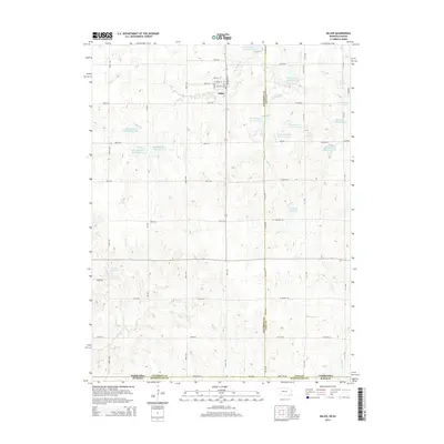 2014 Diller2014 Print · USGSThe village of Diller and the surrounding prairie landscape are shown here during the early twenty-first century. Genealogists and local historians can trace the gridded rural roads and numerous water features like Arrowhead Lake and Clapp Reservoir.
 - 2014 Map of Plymouth, 2014 Print
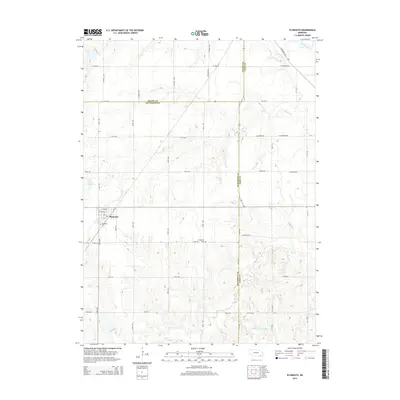 2014 Plymouth2014 Print · USGSIn the early twenty-first century, this Jefferson County area centered on Plymouth retains its classic agricultural grid across the Gage and Saline county lines. Genealogists and local historians can locate Woodlawn Cem and Kilpatrick Cem or trace the winding course of the Big Blue River.
 - 2014 Map of Western SW, 2014 Print
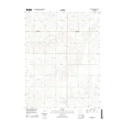 2014 Western SW2014 Print · USGSThe rural border of Saline and Jefferson counties comes into focus in this recent survey of Nebraska's agricultural heartland. Genealogists and local historians can trace family ties at Bower Cem or follow the intricate water networks of S Fork Swan Cr and Jarchow Reservoir.
 - 2014 Map of Western SE, 2014 Print
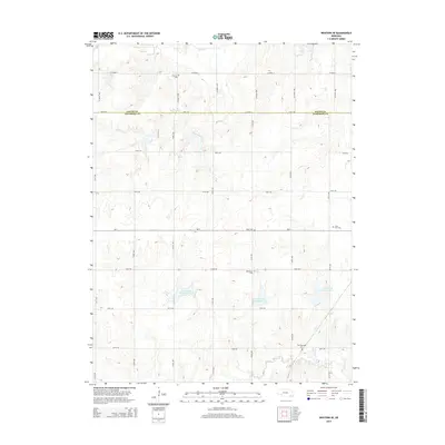 2014 Western SE2014 Print · USGSThe borderlands of Saline and Jefferson counties are mapped here in the early twenty-first century, showing a rural landscape organized by section roads and small creek basins. Genealogists and local historians can locate several burial sites including Old Plymouth Cem, Megli Cem, and Emmanuel Cem.
 - 2014 Map of Gladstone, 2014 Print
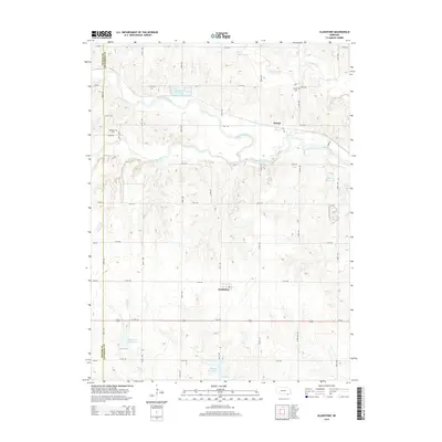 2014 Gladstone2014 Print · USGSJefferson County’s river valleys and prairie roads are documented here during the early twenty-first century. Genealogists and researchers can trace local heritage through landmarks like Meridian Cem, the community of Powell, and the winding Little Blue River.
 - 2014 Map of Fairbury SW, 2014 Print
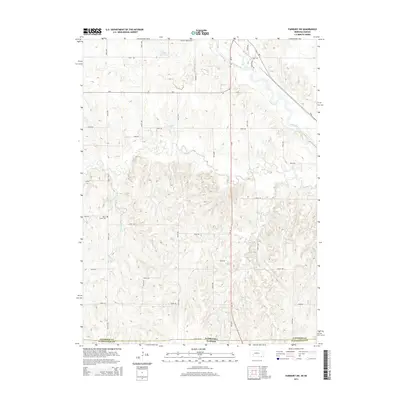 2014 Fairbury SW2014 Print · USGSThe Nebraska-Kansas border comes into focus in the early twenty-first century, showing the rural landscape south of Fairbury. Genealogists and local historians can trace family locations near Silver Creek Cem and along the banks of the Little Blue River.
 - 2014 Map of Jansen, 2014 Print
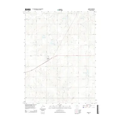 2014 Jansen2014 Print · USGSJansen and the surrounding Jefferson County countryside are shown here during the early twenty-first century, featuring a landscape of well-ordered section roads and creek valleys. Researchers can locate Bartel Cem, Jansen Cem, and several water management sites like Cub Creek Reservoir 12-A.
 - 2014 Map of Endicott, 2014 Print
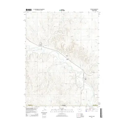 2014 Endicott2014 Print · USGSJefferson County, Nebraska, sits at the intersection of river, rail, and state boundaries in this contemporary survey of the Nebraska-Kansas border. Genealogists and local historians can trace the layouts of Steele City and Endicott, or locate burials in the Steele City Cem.
 - 2014 Map of Daykin, 2014 Print
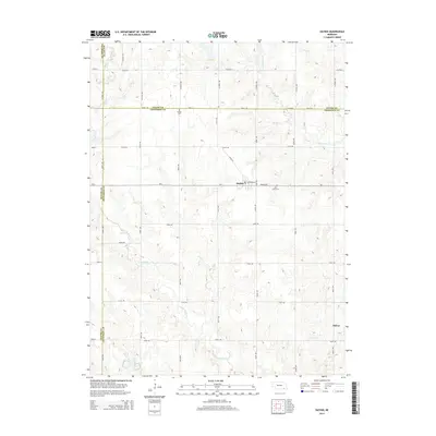 2014 Daykin2014 Print · USGSDaykin and the surrounding Jefferson County farmland appear here in the early twenty-first century, showing the enduring rural layout of the region. Genealogists and local historians can locate Eureka Cemetery and Saint Johns Cemetery, or trace the winding course of Little Sandy Creek.
 - 2014 Map of Reynolds, 2014 Print
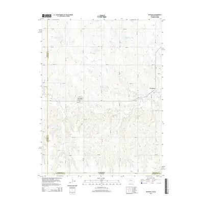 2014 Reynolds2014 Print · USGSJefferson County in the early twenty-first century maintains its quiet agricultural character along the Nebraska-Kansas border. Researchers can trace local landmarks like Rose Cem or explore the water management systems of Buckley Creek Reservoir 3-F and Hein Reservoir.
 - 2014 Map of Fairbury, 2014 Print
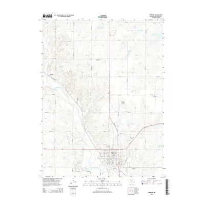 2014 Fairbury2014 Print · USGSFairbury and the surrounding Jefferson County prairie are shown in detail during the early twenty-first century. Genealogists can locate family sites near Richland Center Cem and Grandy Cem, or trace the river-valley settlement of Hedrix.
 - 2017 Map of Harbine, 2017 Print
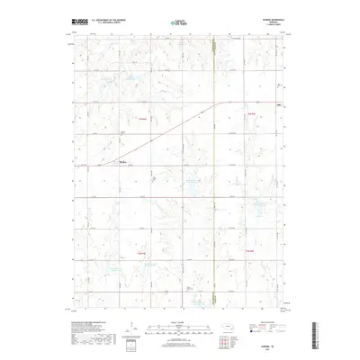 2017 Harbine2017 Print · USGSHarbine and Ellis sit along the Jefferson and Gage county line in this contemporary look at Nebraska's agricultural heartland. Researchers can locate family roots at Harbine Cemetery and Hope Church, or trace the complex reservoir systems along Cub Creek.
Showing maps 1-25 of 48
Top cities of Jefferson County
- Fairbury historical maps
- Plymouth historical maps
- Diller historical maps
- Daykin historical maps
- Jansen historical maps
- Endicott historical maps
See more
Frequently asked questions
- What are the different types of historical maps available for Jefferson County?
- What is the oldest map of Jefferson County?
- Where can I purchase historical maps of Jefferson County for my home or office?
- Where can I download high-res historical maps of Jefferson County?
- Are there historical topographic maps available for Jefferson County?
- Is there historical aerial imagery available for Jefferson County?
- Where are historical maps of Jefferson County sourced from?