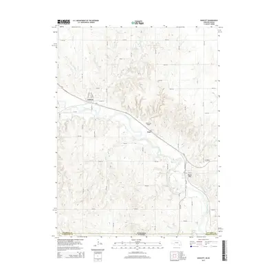
2014 Map of Endicott
USGS Topo · Published 2014About this map
The Little Blue River carves a winding path through this corner of Jefferson County, Nebraska, just above the Kansas state line. The river valley serves as the primary corridor for both the BNSF Railway and state route Ne-8, which link the small settlements of Endicott and Steele City. The topography is defined by significant drainage systems, including Rock Cr and Turkey Cr, which feed into the main river channel near the geologic feature of Steele City Canyon.
Find a feature on this map
47 named features on this map. Tap any name to fly to it.
Don’t see what you’re looking for? This feature index may not catch every label — zoom into the map to look around manually.
Map Details
Editions of this 2014 Endicott Map
This is the sole edition of this map. No revisions or reprints were ever made.
Other maps of this area

1889 · Marysville
USGS Topo · 1:125,000

1893 · Washington
USGS Topo · 1:125,000

1894 · Marysville
USGS Topo · 1:125,000

1955 · Manhattan
USGS Topo · 1:250,000

1955 · Lincoln
USGS Topo · 1:250,000

1956 · Manhattan
USGS Topo · 1:250,000

1957 · Manhattan
USGS Topo · 1:250,000

1957 · Lincoln
USGS Topo · 1:250,000

1958 · Lincoln
USGS Topo · 1:250,000

1960 · Fairbury SW
USGS Topo · 1:24,000