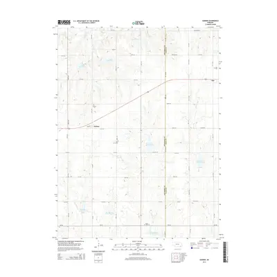
2014 Map of Harbine
USGS Topo · Published 2014About this map
The borderlands of Jefferson and Gage Counties are defined by an expansive grid of rural section roads and a sophisticated network of water management reservoirs. The village of Harbine sits at the intersection of Main St and 578th Ave, serving as a central point for the surrounding agricultural community. Significant genealogical sites are scattered across the landscape, including Harbine Cem and the Hope Church Cem situated near the headwaters of the Big Indian Cr drainage system.
Find a feature on this map
45 named features on this map. Tap any name to fly to it.
Don’t see what you’re looking for? This feature index may not catch every label — zoom into the map to look around manually.
Map Details
Editions of this 2014 Harbine Map
This is the sole edition of this map. No revisions or reprints were ever made.
Other maps of this area

1955 · Lincoln
USGS Topo · 1:250,000

1957 · Lincoln
USGS Topo · 1:250,000

1957 · Plymouth
USGS Topo · 1:24,000

1957 · Beatrice West
USGS Topo · 1:24,000

1958 · Lincoln
USGS Topo · 1:250,000

1961 · Western SE
USGS Topo · 1:24,000

1970 · Diller NE
USGS Topo · 1:24,000
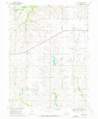
1970 · Harbine
USGS Topo · 1:24,000
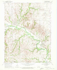
1970 · Endicott
USGS Topo · 1:24,000

1970 · Diller
USGS Topo · 1:24,000