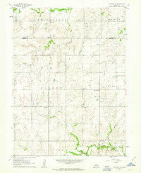
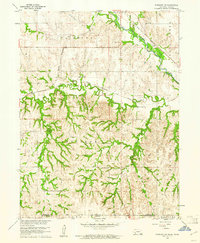
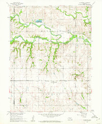
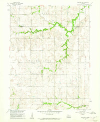
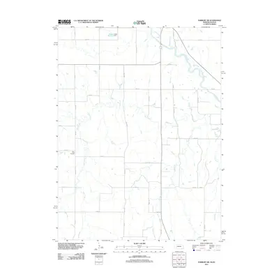
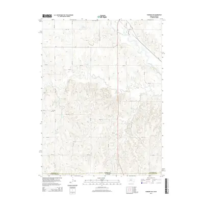
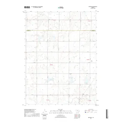
1961 Map of Western SE
USGS Topo · Published 1963About this map
The border between Saline Co and Jefferson Co defines this agricultural landscape in the early 1960s, a period when rural school districts and community churches remained central to local life. Settlers and their descendants are recorded at several burial grounds, including the Old Plymouth Cem and Megi Cem, while local worship centered on Peace Ch. The terrain is marked by the winding courses of Swan Creek in the north and Cub Creek in the south, which influenced the placement of early homesteads and roads.
Find a feature on this map
19 named features on this map. Tap any name to fly to it.
Don’t see what you’re looking for? This feature index may not catch every label — zoom into the map to look around manually.
Map Details
Editions of this 1961 Western SE Map
This is the sole edition of this map. No revisions or reprints were ever made.
Historical Maps of Saline County Through Time
20 maps found
1960 Fairbury SW
Jefferson County, NE
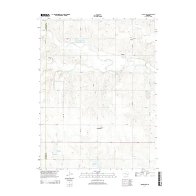
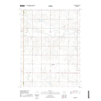
1960 Gladstone
Jefferson County, NE
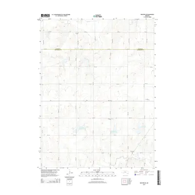
1960 Western SW
Jefferson County, NE
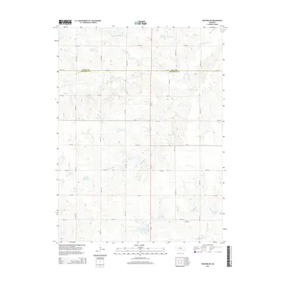
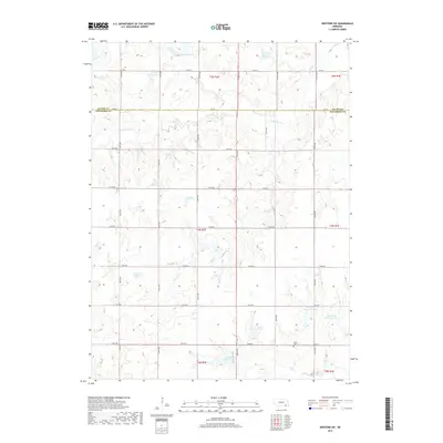
1961 Western SE
Jefferson County, NE
2011 Fairbury SW
Jefferson County, NE
2011 Gladstone
Jefferson County, NE
2011 Western SE
Jefferson County, NE
2011 Western SW
Jefferson County, NE
2014 Fairbury SW
Jefferson County, NE
2014 Gladstone
Jefferson County, NE
2014 Western SE
Jefferson County, NE
2014 Western SW
Jefferson County, NE
2017 Fairbury SW
Jefferson County, NE
2017 Gladstone
Jefferson County, NE
2017 Western SE
Jefferson County, NE
2017 Western SW
Jefferson County, NE
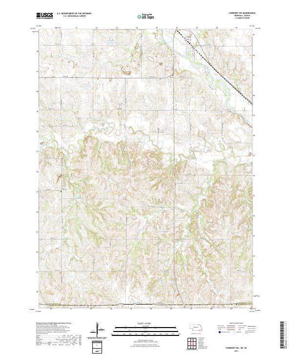
2021 Fairbury SW
Jefferson County, NE
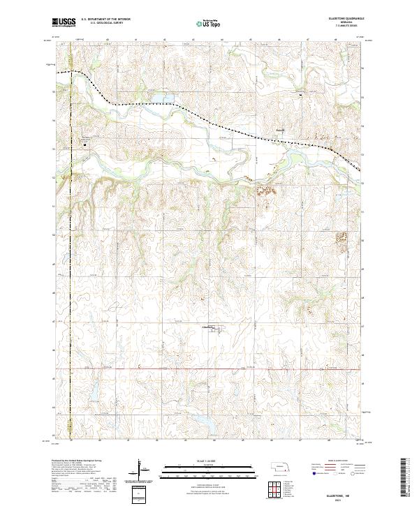
2021 Gladstone
Jefferson County, NE
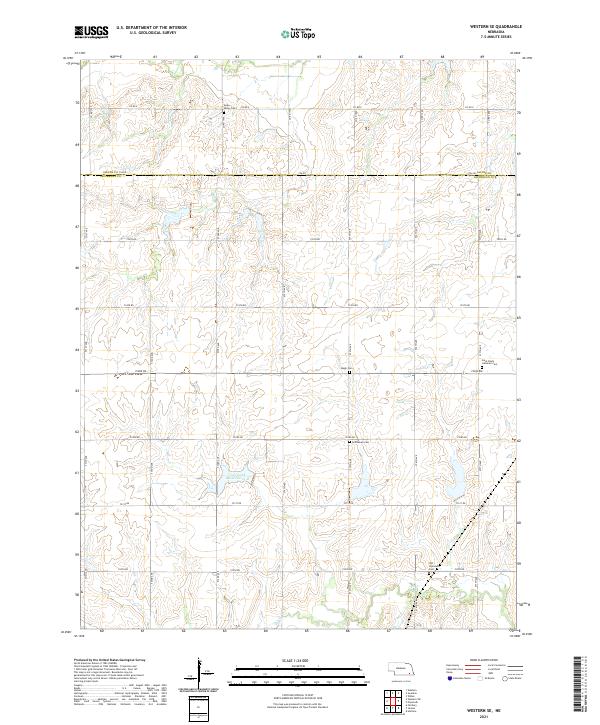
2021 Western SE
Jefferson County, NE
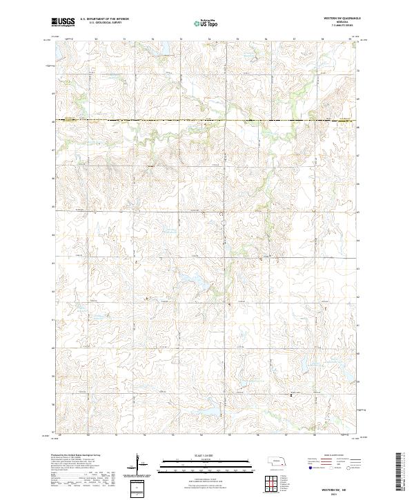
2021 Western SW
Jefferson County, NE